 Block
Grove, Illinois
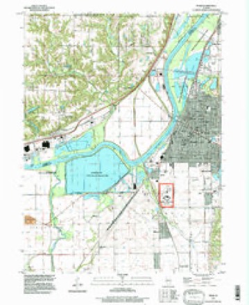
18 topographic sheets cover this place, the earliest surveyed in 1905 and the latest in 1996. It stands in Pekin Township. It lies in ZIP code area 61554. It stands on Lick Creek. The Survey maps it on the Pekin quadrangle.
On record in Grove
Buildings and businesses the archive holds for this place. Each opens its own page, with the source record it came from.
On the National Register within a mile 1 record
The National Register names another town for these. They stand within one mile of this settlement's coordinate.
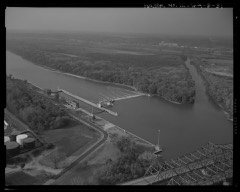 Peoria Lock and Dam Historic Districtlisted 2004 · 0.8 miles away
Topographic sheets covering this place
10 surveys from 18 printed sheetsMatched by testing this settlement's coordinate against the published boundary of every sheet in the United States Geological Survey's historical collection. Each opens the scanned sheet at the Survey.
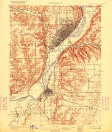
- 1905 USGS Peoria quadrangle1:62500, 4 printings
- 1927 USGS Peoria quadrangle1:62500
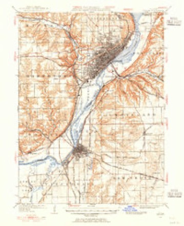
- 1958 USGS Peoria quadrangle1:250000, 4 printings
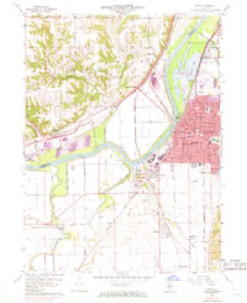
- 1960 USGS Pekin quadrangle1:24000, 3 printings
- 1961 USGS Peoria quadrangle1:250000
- 1963 USGS Peoria quadrangle1:250000
- 1985 USGS Peoria quadrangle1:100000
- 1989 USGS Peoria quadrangle1:100000
- 1990 USGS Peoria quadrangle1:250000
- 1996 USGS Pekin quadrangle1:24000






In the county-history sources
28,912 words on this townshipHistory of Tazewell County, Illinois ; Together with Sketches of Its Cities, Villages and Townships, Educational, Religious, Civil, Military, and Political History; Portraits of Prominent Persons and Biographies of Representative Citizens. History of Illinois ... Digest of State Laws, published 1879 names this settlement in its chapter on Pekin Township. These are the passages that mention it, exactly as the scans read.
Mr. Shipraan came from Kentucky in 1826, but did not live in this township a great while. He moved from this into Elm Grove township, where he spent the remainder of his life. He brought with him to this township a negro man, his wife and children. He treated them kindly, and they in turned loved him. They all lived here in peace and freedom, carving new homes in the wilderness, and preparing for future prosperity and pleasure. The quietude of the little settlement was disturbed one dark night, by the appearance of some slave hunters. There were some men from Kentucky came up the river, left their boats at the mouth of the Mackinaw, quietly came over and carried oif the negro family. They were all tied and hastily run to the river. It appears that Mose, the name of the negro man, was a singularly constructed negro, and it would almost seem, as an old settler said, that " he was part aligator." He had a double row of large sharp teeth. His hands were tied, and with a rope he was led along. He pulled back considerable, and lagged behind as much as he dare do, all the while chawing on the rope by which he was led. Finally he succeeded in severing it, when with all his might he ran back to the settlement, and informed his neighbors of the theft of his family. This aroused the ire of those sturdy pioneers, and, being equal to any emergency, three of them saddled up their horses, that gloomy night and set out for St. Louis, anticipating the destination of the thieves. These resolute men were Johnson Sommers, Wm. Woodrow, and Absalom Dillon. They pushed on toward that city, and fortunately rode off the ferry boat just as the Kentucky would-be slave-traders landed with the family of Mose. This was a singular coincidence, but true, and with determination that plainly showed he ment what he said, Sommers jumped from his horse, gathered up a stone and swore he would crush the first one who attempted to leave the boat, and the men, who could steal the liberty of their fellow men, were passive before the stalwart pioneers. One of the pioneers hurried up to the city, and procured the arrest of the men. We do not know the penalty inflicted, but most likely it was nothing, or, at least, light, for in those days it was regarded as a legitimate business to traffic in human beings. The family was secured, however, and carried back to this county, where most of them lived and died. All honor to the daring humane pioneers.
Passage source: History of Tazewell County, Illinois ; Together with Sketches of Its Cities, Villages and Townships, Educational, Religious, Civil, Military, and Political History; Portraits of Prominent Persons and Biographies of Representative Citizens. History of Illinois ... Digest of State Laws, published 1879.
Machine-read from a century-old scan, so expect the errors a machine makes: misspelled names, dropped words, stray characters.
Fires near this place
3 since 2009Regional context, not property-specific evidence. The federal wildfire occurrence database lists 3 fires within 5 miles of Grove in 2009, burning about 1 acre in total. None started naturally. None was recorded as arson. Distance is straight-line from the map coordinates, so a fire counted here may appear on a neighbouring settlement's page as well.
| Reported cause | Fires |
|---|---|
| Debris and open burning | 2 |
| Missing data/not specified/undetermined | 1 |
The most recent of them, most recent first, with the day each was reported and the service that recorded it.
| Date | Cause | Size | Reported by | Name on the report |
|---|---|---|---|---|
| 3 March 2009 | Debris and open burning | 1.0 acres | Illinois Division of Forestry Resources | MURR |
| 23 March 2009 | Debris and open burning | under an acre | Illinois Division of Forestry Resources | 9273 |
| 2 January 2009 | Missing data/not specified/undetermined | under an acre | Illinois Division of Forestry Resources | 904 |
Settlements close enough to share some of these fires:
Mines and quarries near this place
2 within 5 milesRegional context, not property-specific evidence. The federal mineral resources record lists 2 workings within 5 miles of Grove: 1 producer, 1 plant. All of them still produce. What was taken out: Sand and Gravel, Construction, Fire Clay (Refractory). Distance is straight-line from the map coordinates, so a quarry counted here may appear on a neighbouring settlement's page as well.
| Where | Site | Commodity | Status | Recorded |
|---|---|---|---|---|
| Pekin Sand | Sand and Gravel, Construction | Producer | ||
| Peoria Blacktop S & G | Fire Clay (Refractory) | Plant |
Nearest settlements
The eight closest, with where each one stands in the county. Distances are straight-line, computed from the Geographic Names Information System coordinates.
| Map | Place | Distance | Sheets |
|---|---|---|---|
| North Pekin | 0.4 miles | 18 | |
| Marquette Heights | 1.4 miles | 18 | |
| Wesley | 2.6 miles | 21 | |
| Creve Coeur | 2.7 miles | 21 | |
| Pekin | 3.7 miles | 18 | |
| East Peoria | 4.0 miles | 21 | |
| Fond du Lac | 4.0 miles | 21 | |
| Towne Oaks | 4.9 miles | 18 |
Provenance
This settlement is recorded in the Geographic Names Information System as feature 1747467. The sheet list is computed by point-in-boundary test against the United States Geological Survey's historical topographic inventory. Both are works of the United States government and carry no copyright under 17 U.S.C. 105.
Wildfire. Short, Karen C. 2022. Spatial wildfire occurrence data for the United States, 1992-2020 [FPA_FOD_20221014]. 6th Edition. Fort Collins, CO: Forest Service Research Data Archive. https://doi.org/10.2737/RDS-2013-0009.6 Collected with United States Government funding and usable without additional permissions or fees.
Mines and quarries. USGS Mineral Resources Data System (MRDS) https://mrdata.usgs.gov/mrds/ A work of the United States government, no copyright under 17 U.S.C. 105.