 Block
Hahnaman, Illinois
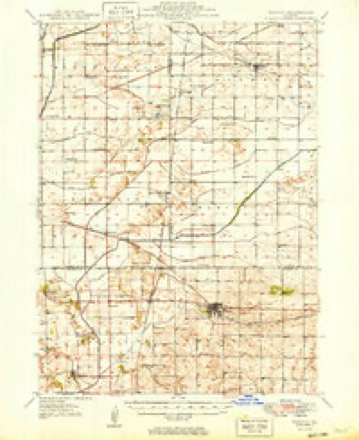
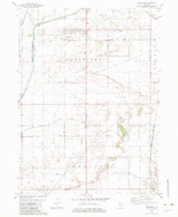
10 topographic sheets cover this place, the earliest surveyed in 1949 and the latest in 1985. It stands in Hahnaman Township. It lies in ZIP code area 61243. The Survey maps it on the Hahnaman quadrangle.
Topographic sheets covering this place
5 surveys from 10 printed sheetsMatched by testing this settlement's coordinate against the published boundary of every sheet in the United States Geological Survey's historical collection. Each opens the scanned sheet at the Survey.
- 1949 USGS Walnut quadrangle1:62500, 3 printings
- 1958 USGS Aurora quadrangle1:250000, 3 printings
- 1961 USGS Aurora quadrangle1:250000
- 1982 USGS Hahnaman quadrangle1:24000
- 1985 USGS Dixon quadrangle1:100000, 2 printings



What happened here
An account from the chapter on Hahnaman township. The inset identifies its exact source book and publication year.
Brave Record In The War
For a small, thinly inhabited town, the men of Hahnaman rallied nobly around the flag in 1861. Ten enlisted with the Yates Sharpshooters: Mc- Mckle, Hinman, Harvey, Reeves, William and Mahlon Humphrey, Crosby and H. D. Ryder, Henry May. The latter was killed at Atlanta in 1864. Mahlon Humphrey died at Cairo in 1862.
In the county-history sources
4,058 words on this townshipPortrait and Biographical Album of Whiteside County, Illinois : Containing Full-page Portraits and Biographies of All the Governors of Illinois, and of the Presidents of the United States, published 1885 names this settlement in its chapter on Hahnaman Township. These are the passages that mention it, exactly as the scans read.
AHNAMAN Township is in the extreme southeastern part of the county. Its boundaries were defined by the County Court in 1852, but the township was not fully organized until 1860. Hahnaman comprises all of township 19, range 7 east of the fourth principal meridian. It is largely made up of what is known as swamp lands, but they are being drained to a considerable extent. The remainder of the township is rolling prairie, excepting a few sand ridges. The county ditch commences about two miles west of the east line of the township, and from the west line enters Tampico.
Passage source: Portrait and Biographical Album of Whiteside County, Illinois : Containing Full-page Portraits and Biographies of All the Governors of Illinois, and of the Presidents of the United States, published 1885.
The first school-house was built on section 4, in 1856, and subsequently moved to section 3. This is District No. i. The house, though a small one, was used for some years,when a larger and more convenient one was erected on section 3, a part of Dr. Reuben Davis' farm. It has since been moved to the original site on section 4. A house was built in District No. 2, in 1856.
Passage source: Portrait and Biographical Album of Whiteside County, Illinois : Containing Full-page Portraits and Biographies of All the Governors of Illinois, and of the Presidents of the United States, published 1885.
In the war for the Union Hahnaman Township did her part nobly, considering its limited resources. Every call was responded to but one, when a draft was ordered for thiee men, the only one in the county. The township had but few men able to go .that could be spared, but every effort was put forth to meet the demands of the General Government. At one time $500 was raised and placed in the hands of a committee to provide men in answer to a call. The committee expended the amount, but with little benefit to the township. The last «all made by the President was in December, 1864. Thirteen men were apportioned lo this township. Of the number six had been secured, when a meeting was called to devise means for securing the number. The county had offered a bounty of $500, and it was pressed to supplement this amount by $100 more to each volunteer. Nearly every voter in the township was present at the meeting, when Dr. Davis and some others agreed to advance the amount, provided those present would agree to vote the amount back to them from the township funds. On the 6th of February, 1865, this was done.
Passage source: Portrait and Biographical Album of Whiteside County, Illinois : Containing Full-page Portraits and Biographies of All the Governors of Illinois, and of the Presidents of the United States, published 1885.
Machine-read from a century-old scan, so expect the errors a machine makes: misspelled names, dropped words, stray characters.
Read the whole chapter on Hahnaman Township - it names this place 7 more 7 times.
Mines and quarries near this place
1 within 5 milesRegional context, not property-specific evidence. The federal mineral resources record lists 1 working within 5 miles of Hahnaman: 1 producer. All of them still produce. What was taken out: Sand and Gravel, Construction. Distance is straight-line from the map coordinates, so a quarry counted here may appear on a neighbouring settlement's page as well.
| Where | Site | Commodity | Status | Recorded |
|---|---|---|---|---|
| Walnut Pit #2 | Sand and Gravel, Construction | Producer |
Nearest settlements
The eight closest, with where each one stands in the county. Distances are straight-line, computed from the Geographic Names Information System coordinates.
| Map | Place | Distance | Sheets |
|---|---|---|---|
| Deer Grove | 3.3 miles | 10 | |
| Tampico | 8.0 miles | 11 | |
| Yeoward Addition | 8.8 miles | 12 | |
| Rock Falls | 10.6 miles | 12 | |
| Sterling | 11.3 miles | 12 | |
| Woodland Hills | 11.6 miles | 12 | |
| Como | 11.6 miles | 11 | |
| Douglas Park | 12.4 miles | 12 |
Provenance
This settlement is recorded in the Geographic Names Information System as feature 422772. The sheet list is computed by point-in-boundary test against the United States Geological Survey's historical topographic inventory. Both are works of the United States government and carry no copyright under 17 U.S.C. 105.
Mines and quarries. USGS Mineral Resources Data System (MRDS) https://mrdata.usgs.gov/mrds/ A work of the United States government, no copyright under 17 U.S.C. 105.