 Block
Illinois City, Illinois
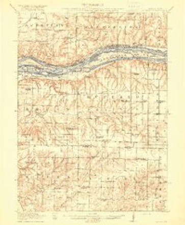
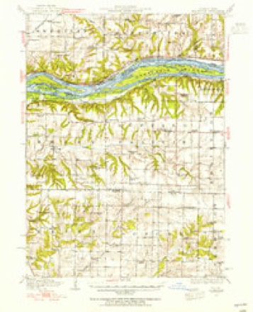
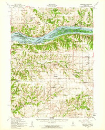
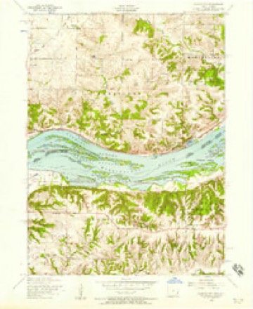
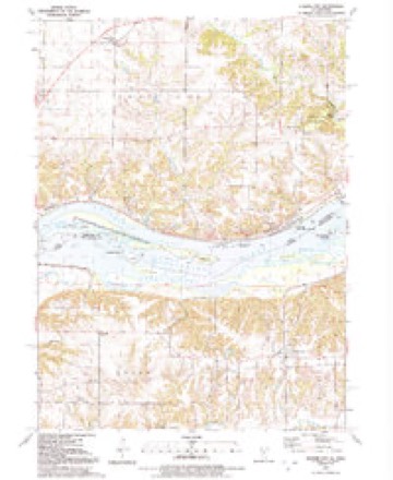
15 topographic sheets cover this place, the earliest surveyed in 1916 and the latest in 1991. It stands in Buffalo Prairie Township. It lies in ZIP code area 61259. The Survey maps it on the Illinois City quadrangle.
Topographic sheets covering this place
10 surveys from 15 printed sheetsMatched by testing this settlement's coordinate against the published boundary of every sheet in the United States Geological Survey's historical collection. Each opens the scanned sheet at the Survey.
- 1916 USGS Edgington quadrangle1:62500, 3 printings
- 1938 USGS Edgington quadrangle1:62500
- 1953 USGS Edgington quadrangle1:62500
- 1953 USGS Illinois City quadrangle1:24000, 2 printings
- 1958 USGS Davenport quadrangle1:250000, 2 printings
- 1961 USGS Davenport quadrangle1:250000
- 1962 USGS Davenport quadrangle1:250000
- 1984 USGS Aledo quadrangle1:100000
- 1989 USGS Aledo quadrangle1:100000
- 1991 USGS Illinois City quadrangle1:24000, 2 printings





Mines and quarries near this place
1 within 5 milesRegional context, not property-specific evidence. The federal mineral resources record lists 1 working within 5 miles of Illinois City: 1 past producer. None of them still produces. What was taken out: Stone, Crushed/Broken. Distance is straight-line from the map coordinates, so a quarry counted here may appear on a neighbouring settlement's page as well.
| Where | Site | Commodity | Status | Recorded |
|---|---|---|---|---|
| Hintermeister Quarry | Stone, Crushed/Broken | Past Producer |
Storms near this place
39 since 1994Regional context, not property-specific evidence. The National Weather Service names Illinois City in 39 storm reports between 1994 and 2024: 16 flood, 10 thunderstorm wind, 7 hail, 4 tornado. No death or injury is recorded in these reports. Each account below is quoted exactly as the forecast office filed it, from the NOAA Storm Events Database, and each date opens the federal record of that event.
| When | Event | Place named | Harm | What the report says |
|---|---|---|---|---|
| June 2008 | Flash Flood | Illinois City | $500,000 | Heavy rain resulted in flash flooding across much of Rock Island County during the evening of June 12. In Andalusia, IL, ten inches of flood waters covered all the streets in town. The town received about 3.5 inches of rain in an hour. In Moline, IL, flash flood waters about two feet deep stranded some concert goers in the parking lot of the I Wireless Center. Also, the 500 block of 1st Street and the 500 to 1100 blocks of 4th Street were closed due to sink holes. In downtown Rock Island, IL, most of the streets were flooded with the flood waters about 1 foot deep. Near Illinois City, IL, County Road 59 was washed out downhill from the Loud Thunder Forest Preserve entrance. In Milan, IL, flash flooding forced the closure of numerous roads, including Route 67 and 4th Street W between 1st Avenue and 10th Avenue. |
| August 1997 | Thunderstorm Wind | Illinois City | $250,000 | 91 mph wind gust reported. Roof at the high school was damaged causing water damage to the gymnasium floor. Cost for the new roof and floor $250,000. |
| April 2011 | Flood | Illinois City | $250,000 | no account filed |
| July 2010 | Flood | Illinois City | $250,000 | no account filed |
| July 2003 | Thunderstorm Wind | Illinois City | $100,000 | Lock & Dam 16; unconfirmed gust of 90 knots (104 mph) |
| April 2006 | Hail | Illinois City | $10,000 | Muscatine spotter relayed report |
| April 2006 | Hail | Illinois City | $5,000 | quarter size hail covering the ground to a depth of 2-3 inches. |
| April 2006 | Tornado (F1) | Illinois City | $5,000 | Crossed into Mercer County |
| April 2006 | Tornado (F0) | Illinois City | $5,000 | Entered from Muscatine County Iowa. |
| June 1997 | Thunderstorm Wind | Illinois City | $5,000 | Winds damage farm buildings and snapped numerous Oak trees off. Tweenty foot tall pine trees uprooted. |
| June 1994 | Thunderstorm Wind | Illinois City | $5,000 | A corn crib was thrown by strong thunderstorms on a farm seven miles southwest of Illinois city. An ATV was also flipped over at this same time due to the severe thunderstorm winds. Fifty mph winds knocked down one tree in Sterling, Illinois, at 1735 CST, blocking traffic for a short time. |
| July 2024 | Tornado (EF0) | Illinois City | - | A tornado was captured on video near the shore of the Mississippi River in Muscatine County Iowa. The tornado crossed the Mississippi River and moved onshore in Rock Island County Illinois, just west of the Loud Thunder Forest Preserve, where it uprooted trees and downed large branches. No rating is assigned for the path of the tornado over the Mississippi River. Once onshore, the tornado was rated EF-0 with maximum winds around 75 mph. |
| July 2024 | Flood | Illinois City | - | The Mississippi River at Illinois City Lock and Dam 16 rose above its major flood stage of 18 feet at noon on July 3 and crested at 20.11 feet on July 11th. The river fell back below major flood stage on July 20th. |
| August 2020 | Thunderstorm Wind | Illinois City | - | Widespread straight-line winds that produced extensive damage were reported throughout Rock Island County, associated with a derecho. These winds lasted around an hour in total, even though the initial line of storms moved out fast. Damaging straight-line winds continued and were associated with the rear inflow jet. Maximum wind speeds were reported up to 80 mph These estimates were determined based off damage surveys and photos submitted through social media. These strong winds extensively damaged most trees, crops, and a few structures in their path. Prolonged power outages resulted from this storm damage. |
| June 2020 | Thunderstorm Wind | Illinois City | - | An amateur radio operator reported that a 5 to 6 inch diameter limb was down across the road. The time of the event was estimated using radar. |
| March 2019 | Flood | Illinois City | - | Heavy rain and snow melt across the region caused the Mississippi River at Lock and Dam 16 near Illinois City to to rise above the major flood stage of 18 feet on March 22nd. the river remained above the major flood stage through the end of the month. An initial crest of 19.20 feet occurred around midday on the 25th into late in the day on the 25th. |
| June 2019 | Flood | Illinois City | - | The Mississippi River at LeClaire began June above its major flood of 13.5 feet and crested at 15.08 feet on June 1st around 9 PM. This is preliminarily the 5th highest crest on record. It feel back below major flood around 5 AM on June 10th.|The Mississippi River at Rock Island began the month above its major flood of 18 feet and crested at 21.68 feet around 7 PM on June 1st. This is preliminarily the 6th highest rest on record.|The Mississippi River at Illinois City began the month of above its major flood stage of 18 feet and crested at 1 AM on June 2nd at 22.81 feet. This is preliminarily the 5th highest crest on record. It feel back below major flood stage around 7 AM on June 13th. |
| May 2019 | Flood | Illinois City | - | The Mississippi River at Illinois City Lock and Dam 16 began the month above its major flood stage of 18 feet. The river would rise to a crest of 24.33 feet on May 3rd. This crest is the 3rd highest crest for the Mississippi River at Illinois City Lock and Dam 16. The river fell below major flood stage the evening of the 12th.||The Mississippi River at Muscatine (MUSI4) began the month above its major flood stage of 20 feet. The river would rise to a crest of 24.33 feet on May 3rd. This crest is the 4th highest crest for the Mississippi River at Muscatine. The river fell below major flood stage the afternoon of the 11th. |
| May 2019 | Flood | Illinois City | - | The Mississippi River at Illinois City Lock and Dam 16 rose above its major flood stage of 18 feet during the afternoon of May 27th and continued into June. The river crested in June, with the stage rising to 21.45 feet at the end of May 31st. |
| April 2019 | Flood | Illinois City | - | River levels continued to run high during the month of April. Heavy rain across the area caused the Mississippi River at Illinois City Lock and Dam 16 to rise above its major flood stage of 18.0 feet late in the evening on the 25th, and it remained above its major flood stage into the month of May. The river continued to rise through the end of the month with no crest during this period. |
| June 2018 | Hail | Illinois City | - | The hail produced significant damage to vehicles and a tin shed. |
| June 2018 | Hail | Illinois City | - | The hail produced significant damage to house siding and vehicles. |
| October 2018 | Flood | Illinois City | - | Major flooding on the Mississippi River at the Illinois City LD16 gage began at 230 AM, October 11th, when it exceeded 19 feet. It crested at 18.1 feet, 210 PM, October 13th, before falling below 19 feet, which is major flood stage, at 7 PM, October 14th. |
| May 2017 | Tornado (EF0) | Illinois City | - | Tornado was rated EF-0 with peak winds of 70 mph. a path length of .71 miles and max width 25 yards. Observed by a storm chaser with video evidence of the circulation detailed a tornado that lasted about a minute, no damage was observed. |
| July 2015 | Flash Flood | Illinois City | - | Flash flooding caused debris of large logs to end up on the road. The Highway 92 road was closed near Loud Thunder Boy Scout Camp. The debris had to be removed by large equipment before the highway was reopened. |
| July 2014 | Flood | Illinois City | - | Heavy rains that fell across the Upper Midwest during the last two weeks of June brought the Mississippi River at Muscatine above its major flood stage of 20 feet at approximately 230 AM on July 1. The Mississippi River crested at 23.7 feet between 1145 on July 4 and 6PM on July 5. |
| June 2014 | Flood | Illinois City | - | Heavy rains during the second half of June resulted in the Mississippi River at Rock Island, IL and Illinois City, IL going above their respective major flood stage levels. They crested about 3 to 4.5 feet above their major flooding levels during the evening of July 4 and morning of July 5. They fell below their major flood stage levels in mid July. ||Rock Island rose above its major flood stage level of 18 feet on June 30 around 1030 pm CDT. It crested around 20.94 feet around 6 pm CDT July 4. It fell below the major flood stage level during the morning of July 11.||Illinois City rose above its major flood stage level of 18 feet on June 30 around 1020 pm CDT. It crested around 22.29 feet around 6 am CDT July 5. It fell below the major flood stage level around 830 am CDT July 12. |
| July 2013 | Flood | Illinois City | - | The Mississippi River at Rock Island rose to its major flood stage level at 1 am CDT July 1, remaining at that level until 1 am CDT July 2. ||The Mississippi River at Muscatine rose to its major flood stage level at 1 pm CDT July 1, remaining at that level until 7 pm CDT July 1. |
| June 2013 | Flood | Illinois City | - | Heavy rains farther to the north during the last week in June led to rises on the Mississippi River at Illinois City above the major flood stage of 18 feet by sunrise on the 29th and the river remained above the major flood stage through the end of the month. |
| July 2010 | Thunderstorm Wind | Illinois City | - | Wind gusts estimated to be 50 to 60 mph were observed about 4 miles southeast of Muscatine, IA or about 6.5 miles west southwest of Illinois City, IL at 335 pm CDT July 23. |
| October 2010 | Flood | Illinois City | - | The river rose above flood stage at Illinois City LD16 on October 4 at 800 am cst and fell below flood stage on October 10 at 1130 pm cst. Moderate flooding occurred with the crest reaching 16.09 feet on October 6 at 700 pm cst. Flood stage is 15 feet. |
| May 2009 | Thunderstorm Wind | Illinois City | - | Wind gusts estimated to be 65 to 70 mph were observed 4 miles west of Illinois City at 748 pm on May 8. Pea-sized hail was also observed. |
| July 2008 | Thunderstorm Wind | Illinois City | - | Wind gusts estimated to be 60 mph blew several items off a porch of a residence in Illinois City, IL at 548 am July 21. |
| May 2008 | Hail | Illinois City | - | A trained spotter estimated hail the size of pennies near Illinois City. |
| March 2006 | Hail | Illinois City | - | marble to dime size hail |
| June 2001 | Thunderstorm Wind | Illinois City | - | Thunderstorm winds downed trees and destroyed a garage over a two block area on the east side of town near 235th Street. Reported by media. |
| June 2000 | Flood | Illinois City | - | Rainfall during the morning accumulated to 3.9 inches, resulting in standing water on many roads. |
| April 2013 | Flood | Illinois City | - | no account filed |
| April 1999 | Hail | Illinois City | - | no account filed |
Nearest settlements
The eight closest, with where each one stands in the county. Distances are straight-line, computed from the Geographic Names Information System coordinates.
| Map | Place | Distance | Sheets |
|---|---|---|---|
| Buffalo Prairie | 4.7 miles | 14 | |
| Edgington | 7.2 miles | 15 | |
| Andalusia | 10.1 miles | 19 | |
| Taylor Ridge | 12.3 miles | 19 | |
| Reynolds | 13.0 miles | 18 | |
| Castle Junction | 17.1 miles | 23 | |
| Oak Grove | 17.5 miles | 23 | |
| Milan | 17.8 miles | 23 |
Provenance
This settlement is recorded in the Geographic Names Information System as feature 410764. The sheet list is computed by point-in-boundary test against the United States Geological Survey's historical topographic inventory. Both are works of the United States government and carry no copyright under 17 U.S.C. 105.
Mines and quarries. USGS Mineral Resources Data System (MRDS) https://mrdata.usgs.gov/mrds/ A work of the United States government, no copyright under 17 U.S.C. 105.
Storms. NOAA National Centers for Environmental Information, Storm Events Database https://www.ncei.noaa.gov/stormevents/ A work of the United States government, no copyright under 17 U.S.C. 105. Narratives are quoted verbatim from the National Weather Service report and are not edited or summarised.