 Block
Lynn Center, Illinois
11 topographic sheets cover this place, the earliest surveyed in 1937 and the latest in 1991. It stands in Lynn Township. It lies in ZIP code area 61262. The Survey maps it on the Andover quadrangle. 85 people lived here at the 2020 count. It stands 758 feet above sea level.
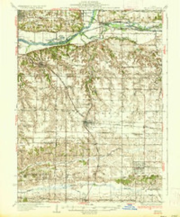
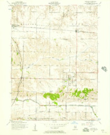
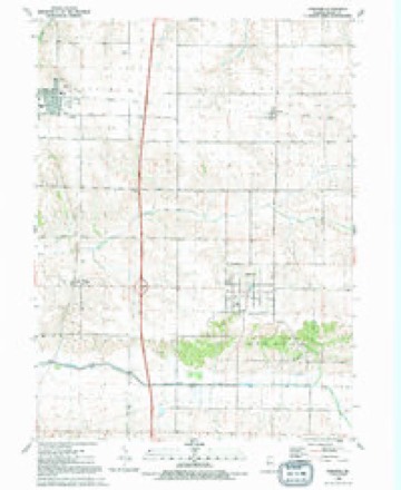
Topographic sheets covering this place
8 surveys from 11 printed sheetsMatched by testing this settlement's coordinate against the published boundary of every sheet in the United States Geological Survey's historical collection. Each opens the scanned sheet at the Survey.
- 1937 USGS Orion quadrangle1:62500, 2 printings
- 1953 USGS Andover quadrangle1:24000, 2 printings
- 1958 USGS Davenport quadrangle1:250000, 2 printings
- 1961 USGS Davenport quadrangle1:250000
- 1962 USGS Davenport quadrangle1:250000
- 1984 USGS Aledo quadrangle1:100000
- 1989 USGS Aledo quadrangle1:100000
- 1991 USGS Andover quadrangle1:24000





What happened here
An account from the chapter on Lynn township. The inset identifies its exact source book and publication year.
Forty-Third Regiment I. Y. I.
The Forty-third was organized at Camp Butler, 111., Sept. 1861, by Col. Julius Raitli. Was at the battles, of Fort Donelsoii, Shiloh (losing 200 killed and wounded ), and Siege of Corinth. In sjiring of 1863, 200 men were mounted. The regiment was moved to Memphis, and thence into Arkansas, where it was constantly on the track of guenilla bands.
In the county-history sources
6,007 words on this townshipHistory of Henry County, Illinois : It's Taxpayers and Voters; Containing Also, a Biographical Directory, a Condensed History of the State; Map of the County; a Business Directory...etc, published 1877 names this settlement in its chapter on Lynn Township. These are the passages that mention it, exactly as the scans read.
ARASMITH JOHX W. Farmer, Sec. 18; P.O. Lynn Center; born in Henry Co. 111. in 1835; Rep; owns 300 acres land, value $15,000; was School Director one year, and Collector one year; married Rosilla M. Derby, of Illinois, in 1862; seven children: Alvin J., Fred A., Ida M., Minnie M., Hattie O , Lillie P., and Fannie A.
Passage source: History of Henry County, Illinois : It's Taxpayers and Voters; Containing Also, a Biographical Directory, a Condensed History of the State; Map of the County; a Business Directory...etc, published 1877.
BEXGrSTOX Gr. Farmer and General Merchant, Sec. 14; P.O. Lynn Center; born in Sweden in 1837; came to Henry Co. in 1852; Rep; Luth; owns 160 acres land, store, merchandise, etc., value $14,000; has been Town Clerk eight years; Supervisor one year; School Trustee three years; married Anna L. Swanson, of Sweden, in 1860; seven children, named: Frans A., Anna M., Augusta E., Ida J., John W.. Johanna A., and Carl G.
Passage source: History of Henry County, Illinois : It's Taxpayers and Voters; Containing Also, a Biographical Directory, a Condensed History of the State; Map of the County; a Business Directory...etc, published 1877.
CLARK W3I. Farmer and Stock Raiser, Sec. 10, P.O. Lynn Center; born in Ireland in 1819; came to Henry Co. in 1840; Dem; Pres; owns 350 acres land, val. $18,000; married Almira Pillsbury, of Grafton Co. N. H. in 1842; five children, names: Esther A., Louisa A., Amelia R., John P., and Edward P.
Passage source: History of Henry County, Illinois : It's Taxpayers and Voters; Containing Also, a Biographical Directory, a Condensed History of the State; Map of the County; a Business Directory...etc, published 1877.
Machine-read from a century-old scan, so expect the errors a machine makes: misspelled names, dropped words, stray characters.
Read the whole chapter on Lynn Township - it names this place 25 more 25 times.
Mines and quarries near this place
1 within 5 milesRegional context, not property-specific evidence. The federal mineral resources record lists 1 working within 5 miles of Lynn Center: 1 producer. All of them still produce. What was taken out: Sand and Gravel, Construction. Distance is straight-line from the map coordinates, so a quarry counted here may appear on a neighbouring settlement's page as well.
| Where | Site | Commodity | Status | Recorded |
|---|---|---|---|---|
| Orlo Woodcock Pit | Sand and Gravel, Construction | Producer |
Storms near this place
4 since 1996Regional context, not property-specific evidence. The National Weather Service names Lynn Center in 4 storm reports between 1996 and 2024: 2 thunderstorm wind, 1 hail, 1 tornado. No death or injury is recorded in these reports. Each account below is quoted exactly as the forecast office filed it, from the NOAA Storm Events Database, and each date opens the federal record of that event.
| When | Event | Place named | Harm | What the report says |
|---|---|---|---|---|
| July 2024 | Tornado (EF1) | Lynn Center | - | An NWS Storm Survey found a tornado touched down northwest of Taylor Ridge in Rock Island County. The tornado damaged trees, dented two large grain bins, and damaged power poles. The tornado then moved into Mercer County around 18:27 CST, about a third of a mile west of US Route 67 on 190th Ave W. In Mercer County, the tornado damaged trees, power poles, and small farm outbuildings. The tornado then moved into Henry County around 18:36 CST, about 0.4 miles south of Camp Creek Road. The tornado continued to damage trees, power poles, and small farm outbuildings, before crossing Interstate 74 and lifting south of Andover. In all three counties (Rock Island, Mercer, Henry) the tornado was rated an EF-1 with maximum winds around 100 mph. |
| June 2022 | Thunderstorm Wind | Lynn Center | - | A tree was blown down onto a power line. |
| June 1999 | Thunderstorm Wind | Lynn Center | - | Several power lines downed. |
| April 1996 | Hail | Lynn Center | - | no account filed |
Nearest settlements
The eight closest, with where each one stands in the county. Distances are straight-line, computed from the Geographic Names Information System coordinates.
| Map | Place | Distance | Sheets |
|---|---|---|---|
| Ophiem | 3.4 miles | 12 | |
| Andover | 3.5 miles | 11 | |
| Orion | 4.3 miles | 12 | |
| Osco | 5.5 miles | 11 | |
| Alpha | 7.3 miles | 11 | |
| Morristown | 7.6 miles | 12 | |
| Sunny Hill | 7.7 miles | 14 | |
| Sunny Hill Estates | 7.9 miles | 14 |
Elsewhere
Matched on this settlement's Geographic Names Information System number rather than its name, so it cannot be a different place of the same name in another state.
| Wikipedia article on Lynn Center | An encyclopaedic summary. Its text is share-alike, so it is linked here rather than copied. |
| Wikidata item Q6708965 | The structured record the population and elevation above come from. Public domain (CC0). |
Provenance
This settlement is recorded in the Geographic Names Information System as feature 412763. The sheet list is computed by point-in-boundary test against the United States Geological Survey's historical topographic inventory. Both are works of the United States government and carry no copyright under 17 U.S.C. 105.
Mines and quarries. USGS Mineral Resources Data System (MRDS) https://mrdata.usgs.gov/mrds/ A work of the United States government, no copyright under 17 U.S.C. 105.
Storms. NOAA National Centers for Environmental Information, Storm Events Database https://www.ncei.noaa.gov/stormevents/ A work of the United States government, no copyright under 17 U.S.C. 105. Narratives are quoted verbatim from the National Weather Service report and are not edited or summarised.