 Block
Sunny Hill, Illinois
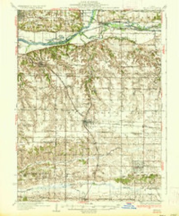
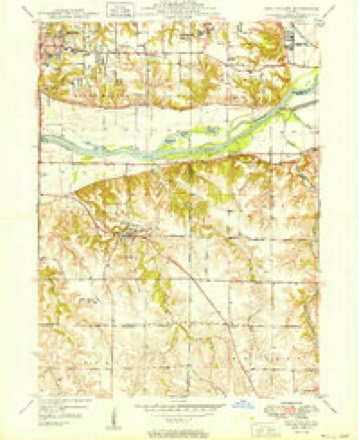
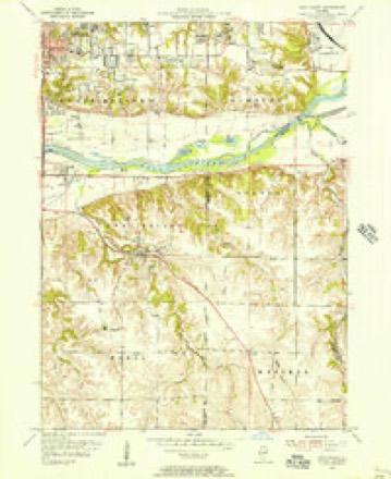
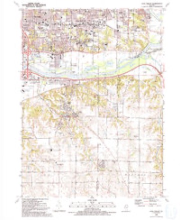
14 topographic sheets cover this place, the earliest surveyed in 1937 and the latest in 1991. It stands in Western Township. It lies in ZIP code area 61273. The Survey maps it on the Coal Valley quadrangle.
Topographic sheets covering this place
9 surveys from 14 printed sheetsMatched by testing this settlement's coordinate against the published boundary of every sheet in the United States Geological Survey's historical collection. Each opens the scanned sheet at the Survey.
- 1937 USGS Orion quadrangle1:62500, 2 printings
- 1949 USGS Coal Valley quadrangle1:24000, 2 printings
- 1953 USGS Coal Valley quadrangle1:24000, 3 printings
- 1958 USGS Davenport quadrangle1:250000, 2 printings
- 1961 USGS Davenport quadrangle1:250000
- 1962 USGS Davenport quadrangle1:250000
- 1984 USGS Aledo quadrangle1:100000
- 1989 USGS Aledo quadrangle1:100000
- 1991 USGS Coal Valley quadrangle1:24000





In the county-history sources
9,011 words on this townshipThe county-history sources names this settlement in its chapter on Western Township. These are the passages that mention it, exactly as the scans read.
Machine-read from a century-old scan, so expect the errors a machine makes: misspelled names, dropped words, stray characters.
Read the whole chapter on Western Township - it names this place 8 more 8 times.
Storms near this place
10 since 2009Regional context, not property-specific evidence. The National Weather Service names Sunny Hill in 10 storm reports between 2009 and 2026: 4 flood, 4 hail, 1 flash flood, 1 tornado. No death or injury is recorded in these reports. Each account below is quoted exactly as the forecast office filed it, from the NOAA Storm Events Database, and each date opens the federal record of that event.
| When | Event | Place named | Harm | What the report says |
|---|---|---|---|---|
| May 2009 | Flood | Sunny Hill | $166,670 | Heavy rains during the last week of April resulted in the Rock River at Joslin and Moline going above their respective moderate flood stage levels during the first few days of May.||The Rock River at Joslin surpassed its moderate flood stage level of 14 feet on May 1 around 6 pm. It crested around 14.5 feet around 12 am May 3. It fell back below its moderate flood stage level around 6 pm on May 4.||The Rock River at Moline surpassed its moderate flood stage level of 13 feet on May 2 around 3 pm. It crested around 13.14 feet around 3 pm May 3. It fell back below its moderate flood stage level around 9 am on May 4. |
| May 2010 | Flood | Sunny Hill | $100,000 | Heavy rains during the second week of May resulted in moderate flooding on the Rock River.||At Joslin, the river level surpassed the moderate flood stage level of 14 feet on May 15 around 10 am. It crested around 14.5 feet around 1 pm May 16. It fell below the moderate flood stage level around 1 pm May 17.||At Moline, the river level surpassed the moderate flood stage level of 13 feet on May 15 around 7 am. It crested around 13.3 feet around 7 am May 16. It fell below the moderate flood stage level around 1 am May 18. |
| July 2010 | Flood | Sunny Hill | $100,000 | no account filed |
| June 2010 | Flash Flood | Sunny Hill | $50,000 | Heavy rains resulted in flash flooding in the Cambridge, Kewanee, and Orion, IL areas during the late afternoon and evening of June 23. Streets just west of Cambridge, IL were flooded. Highway 78 going into Kewanee had 8 to 10 inches of water covering it. The intersection of E 200th Street and N 1200th Avenue about 2 miles south southwest of Orion, IL was covered with flood waters from runoff from nearby farm fields. |
| May 2024 | Tornado (EFU) | Sunny Hill | - | A tornado developed southwest of Coyne Center, IL, in Rock Island County and followed an intermittent path around 20 miles at a speed of around 50 mph. Fire and ambulance personnel last spotted the tornado near Green River, IL in Henry County. The tornado crossed into Henry County, Illinois at 7:06 am, 1.5 miles east northeast of Coal Valley Illinois. Within Henry County, this tornado is rated EF-U, as no damage was found. In Rock Island County, the tornado damaged a large outbuilding and trees near Coyne Center. Maximum winds were estimated around 110 mph and the tornado was rated EF-1. No injuries were reported. Thanks to emergency management for assistance in completing the survey. |
| April 2009 | Flood | Sunny Hill | - | Heavy rains on March 24th resulted in the Rock River at Joslin and Moline going above their respective moderate flood stage levels during the last week of March. They were still in moderate flooding at the beginning of April. The stage at Joslin fell below its 14 foot moderate flood stage level around midday on April 5. The stage at Moline fell below its 13 foot moderate flood stage level around midday on April 4. |
| March 2026 | Hail | Sunny Hill | - | no account filed |
| May 2019 | Hail | Sunny Hill | - | no account filed |
| April 2011 | Hail | Sunny Hill | - | no account filed |
| June 2011 | Hail | Sunny Hill | - | no account filed |
Nearest settlements
The eight closest, with where each one stands in the county. Distances are straight-line, computed from the Geographic Names Information System coordinates.
| Map | Place | Distance | Sheets |
|---|---|---|---|
| Sunny Hill Estates | 0.7 miles | 14 | |
| Brook Lawn | 1.1 miles | 14 | |
| Warner | 2.3 miles | 14 | |
| Orion | 3.6 miles | 12 | |
| Timber Ridge | 3.7 miles | 14 | |
| Briar Bluff | 5.0 miles | 12 | |
| Green Rock | 6.0 miles | 12 | |
| Morristown | 6.2 miles | 12 |
Provenance
This settlement is recorded in the Geographic Names Information System as feature 423221. The sheet list is computed by point-in-boundary test against the United States Geological Survey's historical topographic inventory. Both are works of the United States government and carry no copyright under 17 U.S.C. 105.
Storms. NOAA National Centers for Environmental Information, Storm Events Database https://www.ncei.noaa.gov/stormevents/ A work of the United States government, no copyright under 17 U.S.C. 105. Narratives are quoted verbatim from the National Weather Service report and are not edited or summarised.