 Block
Morristown, Illinois
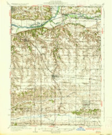
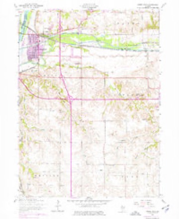
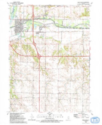
12 topographic sheets cover this place, the earliest surveyed in 1937 and the latest in 1992. It stands in Osco Township. It lies in ZIP code area 61274. The Survey maps it on the Green Rock quadrangle.
Topographic sheets covering this place
8 surveys from 12 printed sheetsMatched by testing this settlement's coordinate against the published boundary of every sheet in the United States Geological Survey's historical collection. Each opens the scanned sheet at the Survey.
- 1937 USGS Orion quadrangle1:62500, 2 printings
- 1953 USGS Green Rock quadrangle1:24000, 3 printings
- 1958 USGS Davenport quadrangle1:250000, 2 printings
- 1961 USGS Davenport quadrangle1:250000
- 1962 USGS Davenport quadrangle1:250000
- 1984 USGS Aledo quadrangle1:100000
- 1989 USGS Aledo quadrangle1:100000
- 1992 USGS Green Rock quadrangle1:24000





In the county-history sources
8,305 words on this townshipHistory of Henry County, Illinois : It's Taxpayers and Voters; Containing Also, a Biographical Directory, a Condensed History of the State; Map of the County; a Business Directory...etc, published 1877 names this settlement in its chapter on Osco Township. These are the passages that mention it, exactly as the scans read.
On May 24, 1852, the first school district was organized, by a meeting called at the house of Willis Hinman, and comprised the whole township. In the Summer of 1853, the first school-house was built, upon the northeast corner of the southwest quarter of Section 26, and was for a long time known as the Hinman School-house.
Passage source: History of Henry County, Illinois : It's Taxpayers and Voters; Containing Also, a Biographical Directory, a Condensed History of the State; Map of the County; a Business Directory...etc, published 1877.
In 1854, the district was divided, the north half being set off, and was known as District No. 2. In this district two school-houses were eventually built, one in the northeast corner of the town, known as the Van Order School-house, and one at Morristown, in the northwest corner. The division above mentioned remained with no permanent alteration, save the division of the north district, until the year 1859, when the town was divided into nine districts, each two miles square, which division, with some slight alterations, remains at this day. The first Board of School Trustees was elected in May, 1852, and consisted of Willis Hinman, Samuel Hamilton and S. C. Welton. The first Board of School Directors were elected in June, 1852, and consisted of the same persons.
Passage source: History of Henry County, Illinois : It's Taxpayers and Voters; Containing Also, a Biographical Directory, a Condensed History of the State; Map of the County; a Business Directory...etc, published 1877.
This village was laid out on Nov. 30, and Dec. 1, 2, 3, 1870, by Patterson, Holmes County Surveyor, on the S. E. N. E. Sec. 29 - 40 acres, then owned by Orion E. Page, who caused the same to be done. It originally contained 11 blocks laid off into 183 lots. The streets leading east and west as named from north to south, are North Street, North R. R. Street, Market Street and South R. R. Street, and two avenues, leading north and south ; the west one is called Lincoln Avenue, and the other in the eastern part Washington Avenue. The first house was built in July, 1871, by G. P. Woodworth and Samuel Smith, the next by D. L. Purviance the same year. It now contains twelve dwellings, eight business houses and a blacksmith shop. There are about 80,000 bushels of corn and 90 to 100 cars of stock shipped annually from this place.
Passage source: History of Henry County, Illinois : It's Taxpayers and Voters; Containing Also, a Biographical Directory, a Condensed History of the State; Map of the County; a Business Directory...etc, published 1877.
Machine-read from a century-old scan, so expect the errors a machine makes: misspelled names, dropped words, stray characters.
Read the whole chapter on Osco Township - it names this place 12 more 12 times.
Storms near this place
7 since 2012Regional context, not property-specific evidence. The National Weather Service names Morristown in 7 storm reports between 2012 and 2025: 3 tornado, 2 thunderstorm wind, 2 hail. No death or injury is recorded in these reports. Each account below is quoted exactly as the forecast office filed it, from the NOAA Storm Events Database, and each date opens the federal record of that event.
| When | Event | Place named | Harm | What the report says |
|---|---|---|---|---|
| April 2025 | Tornado (EF1) | Morristown | - | A tornadic debris signature was seen on the KDVN Doppler Radar up to 2,900 ft. Corn stubble and leaves were found along the beginning of the path. As the tornado approached the Hennepin Canal, tree damage was found with snapped hardwood trees and other branches. Additional branches were found just southwest of Shady Beach. The tornado was rated as EF-1 with a peak estimated wind speed of 90 MPH. |
| April 2025 | Tornado (EFU) | Morristown | - | An EF-U tornado with at least a 1/4 mile path was depicted by radar and a scour mark in a freshly plowed field. Corn debris was also found in the fence at this location. |
| March 2024 | Hail | Morristown | - | A lot of quarter sized hail, bringing traffic on Interstate 80 to a stand still. |
| March 2023 | Tornado (EF2) | Morristown | - | A strong tornado with estimated 135 mph winds developed a few miles southwest of Geneseo, IL, and tracked into the west side of town. Ground scouring was noted in the path through the fields, heading towards town. In town, several structures were damaged to completely destroyed, including: farm outbuildings, businesses, and warehouses. Several vehicles and trees were also damaged in the path of the tornado. |
| June 2019 | Thunderstorm Wind | Morristown | - | Amateur radio relayed a report of a 60 MPH measured by a handheld anemometer. |
| May 2017 | Hail | Morristown | - | A trained spotter reported hail between the sizes of dimes and quarters. |
| May 2012 | Thunderstorm Wind | Morristown | - | The trained spotter estimated a wind speed of 60 mph with 3 inch tree limbs down. |
Nearest settlements
The eight closest, with where each one stands in the county. Distances are straight-line, computed from the Geographic Names Information System coordinates.
| Map | Place | Distance | Sheets |
|---|---|---|---|
| Osco | 3.5 miles | 11 | |
| Warner | 4.2 miles | 14 | |
| Level Acres | 5.2 miles | 12 | |
| Orion | 5.2 miles | 12 | |
| Briar Bluff | 5.6 miles | 12 | |
| Green River | 5.6 miles | 12 | |
| Green Rock | 6.1 miles | 12 | |
| Sunny Hill | 6.2 miles | 14 |
Provenance
This settlement is recorded in the Geographic Names Information System as feature 423001. The sheet list is computed by point-in-boundary test against the United States Geological Survey's historical topographic inventory. Both are works of the United States government and carry no copyright under 17 U.S.C. 105.
Storms. NOAA National Centers for Environmental Information, Storm Events Database https://www.ncei.noaa.gov/stormevents/ A work of the United States government, no copyright under 17 U.S.C. 105. Narratives are quoted verbatim from the National Weather Service report and are not edited or summarised.