 Block
Matherville, Illinois
18 topographic sheets cover this place, the earliest surveyed in 1912 and the latest in 1991. It stands in Preemption Township. It lies in ZIP code area 61263. It stands on Donohue Run. The Survey maps it on the Matherville quadrangle. 707 people lived here at the 2020 count. It stands 748 feet above sea level.
Population over time
2 figuresMatherville fell from 723 to 707 between 2010 and 2020. These are the recorded population figures Wikidata holds for this place, reached through the Geographic Names Information System number this page is keyed on rather than by name, so they belong to this place and not to another of the same name. Most are census counts, but not all are: an early figure may be a founding or settlement estimate, and an estimate published within five years of a census is left out. The change column is computed, and is left blank where more than 20 years separate a figure from the one before it, because a gap that long is not a change between two counts.
| Year | People | Change |
|---|---|---|
| 2010 | 723 | |
| 2020 | 707 | -16 (-2%) |
Topographic sheets covering this place
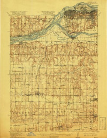
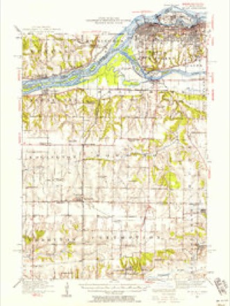
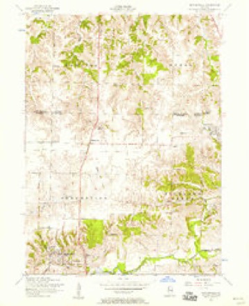
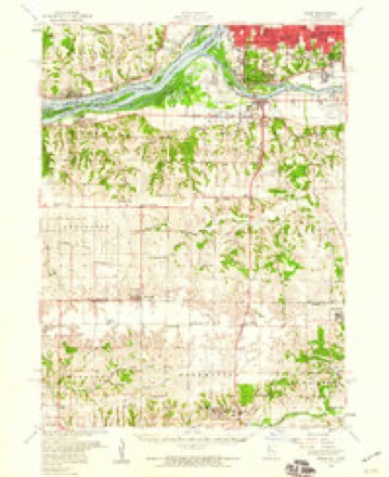
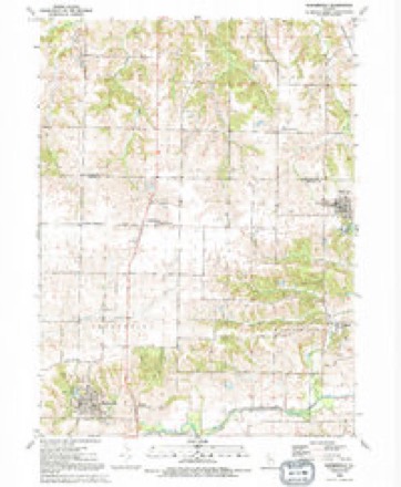
10 surveys from 18 printed sheetsMatched by testing this settlement's coordinate against the published boundary of every sheet in the United States Geological Survey's historical collection. Each opens the scanned sheet at the Survey.
- 1912 USGS Milan quadrangle1:62500, 7 printings
- 1944 USGS Milan quadrangle1:62500
- 1953 USGS Matherville quadrangle1:24000, 2 printings
- 1953 USGS Milan quadrangle1:62500
- 1958 USGS Davenport quadrangle1:250000, 2 printings
- 1961 USGS Davenport quadrangle1:250000
- 1962 USGS Davenport quadrangle1:250000
- 1984 USGS Aledo quadrangle1:100000
- 1989 USGS Aledo quadrangle1:100000
- 1991 USGS Matherville quadrangle1:24000





In the county-history sources
1,753 words on this townshipPast and Present of Mercer County, Illinois, published 1914 names this settlement in its chapter on Preemption Township. These are the passages that mention it, exactly as the scans read.
The Town of Mather is located on section 27 and was laid out by the Coal Valley Mining Company in March, 1909. The village proper is named Mather but the postoffice and the railroad station are Matherville. Several additions have been made to this little place. Forty-six lots were laid out, each being 50 by 150 feet, on land of J. A. Russell. A. R. Stein, of Cable, was probably the first merchant. The place was named for Engineer Mather of the new interurban line, upon which the village was located. In March, 191 1, the village voted on the question of incorporation as follows: For incorporation under the general law. forty-seven votes; against incorporation, thirteen votes. This election was held on April 22. In March, iqi i, Fred C. Schroeder was elected mayor. The trustees were Herman Zude, Henry Barr, Andrew Garrett, Alexander Simpson, John A. Jones and Miller Lewis. Charles Kirchman was clerk and John Olson police magistrate. The little place had become a city. In 191 2 the Matherville Electric Light & Power Company began operations with a capital of $10,000. In 19 14 the town had a population of 200 and the following were the principal business houses: Alden Coal Company; Cable Mercantile Store, general store; Elmer J. Geddes, meat market; Hebbeln Brothers, lumber; Inch Brothers, confectionery; McCullough Lumber & Coal Company; Olsen Chester, confectionery and bakery; H. L. Pearce, hardware; E. J. Quaintance, meat market; H. H. Quaintance, blacksmith; Emil Roquet, dry goods, clothing and shoes; Schroeder & Caddy, general store; A. R. Stein, general store; Joseph Wild, general store; George Workheiser, hotel.
Passage source: Past and Present of Mercer County, Illinois, published 1914.
Machine-read from a century-old scan, so expect the errors a machine makes: misspelled names, dropped words, stray characters.
Mines and quarries near this place
7 within 5 milesRegional context, not property-specific evidence. The federal mineral resources record lists 7 workings within 5 miles of Matherville: 4 occurrences, 1 producer, 1 past producer, 1 plant. 2 still produce. What was taken out: Stone, Crushed/Broken, Clay. Distance is straight-line from the map coordinates, so a quarry counted here may appear on a neighbouring settlement's page as well.
| Where | Site | Commodity | Status | Recorded |
|---|---|---|---|---|
| Hydraulic-Press Brick Co. Shale Pit | Clay | Past Producer | ||
| Limestone Prospect | Stone, Crushed/Broken | Occurrence | ||
| Limestone Prospect | Stone, Crushed/Broken | Occurrence | ||
| Limestone Prospect | Stone, Crushed/Broken | Occurrence | ||
| Limestone Prospect | Stone, Crushed/Broken | Occurrence | ||
| Mercer Co. Stone Quarry | Stone, Crushed/Broken | Producer | ||
| Viola Quarry and Mill | Stone, Crushed/Broken | Plant |
Storms near this place
10 since 1997Regional context, not property-specific evidence. The National Weather Service names Matherville in 10 storm reports between 1997 and 2014: 5 thunderstorm wind, 3 hail, 1 funnel cloud, 1 tornado. No death or injury is recorded in these reports. Each account below is quoted exactly as the forecast office filed it, from the NOAA Storm Events Database, and each date opens the federal record of that event.
| When | Event | Place named | Harm | What the report says |
|---|---|---|---|---|
| April 2003 | Hail | Matherville | $500,000 | no account filed |
| April 2006 | Thunderstorm Wind | Matherville | $35,000 | Location is about 2.5 miles south of Reynolds on the Berenger farm. Damage to the siding and roof of the house with damage to several outbuildings. |
| April 2006 | Tornado (F2) | Matherville | $30,000 | Rated low F2 |
| March 2006 | Thunderstorm Wind | Matherville | $6,000 | power poles and branches down |
| March 2006 | Thunderstorm Wind | Matherville | $5,000 | Trees and power lines down |
| July 2014 | Thunderstorm Wind | Matherville | - | The public that a large tree was uprooted. |
| July 1997 | Thunderstorm Wind | Matherville | - | Cornfield flattened near highway 17. Large trees downed. |
| June 2004 | Funnel Cloud | Matherville | - | no account filed |
| April 2003 | Hail | Matherville | - | no account filed |
| June 2002 | Hail | Matherville | - | no account filed |
Nearest settlements
The eight closest, with where each one stands in the county. Distances are straight-line, computed from the Geographic Names Information System coordinates.
| Map | Place | Distance | Sheets |
|---|---|---|---|
| Boden | 1.1 miles | 18 | |
| Old Gilchrist | 2.2 miles | 12 | |
| Wanlock | 2.9 miles | 12 | |
| Shale City | 3.3 miles | 12 | |
| Orangemans Hall | 3.7 miles | 18 | |
| Gilchrist | 3.9 miles | 12 | |
| Preemption | 3.9 miles | 18 | |
| Viola | 4.1 miles | 12 |
Elsewhere
Matched on this settlement's Geographic Names Information System number rather than its name, so it cannot be a different place of the same name in another state.
| Wikipedia article on Matherville | An encyclopaedic summary. Its text is share-alike, so it is linked here rather than copied. |
| Wikidata item Q2669265 | The structured record the population and elevation above come from. Public domain (CC0). |
Provenance
This settlement is recorded in the Geographic Names Information System as feature 413122. The sheet list is computed by point-in-boundary test against the United States Geological Survey's historical topographic inventory. Both are works of the United States government and carry no copyright under 17 U.S.C. 105.
Mines and quarries. USGS Mineral Resources Data System (MRDS) https://mrdata.usgs.gov/mrds/ A work of the United States government, no copyright under 17 U.S.C. 105.
Storms. NOAA National Centers for Environmental Information, Storm Events Database https://www.ncei.noaa.gov/stormevents/ A work of the United States government, no copyright under 17 U.S.C. 105. Narratives are quoted verbatim from the National Weather Service report and are not edited or summarised.