 Block
Preemption, Illinois
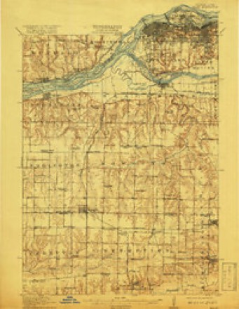
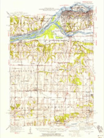
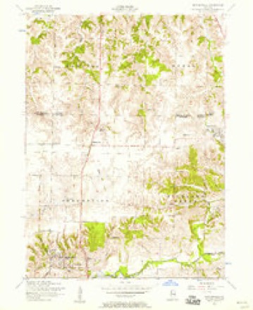
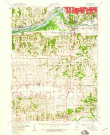
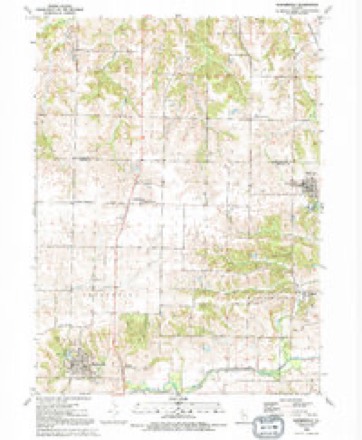
18 topographic sheets cover this place, the earliest surveyed in 1912 and the latest in 1991. It stands in Preemption Township. It lies in ZIP code area 61231. The Survey maps it on the Matherville quadrangle. 254 people lived here at the 2020 count. It stands 810 feet above sea level.
Topographic sheets covering this place
10 surveys from 18 printed sheetsMatched by testing this settlement's coordinate against the published boundary of every sheet in the United States Geological Survey's historical collection. Each opens the scanned sheet at the Survey.
- 1912 USGS Milan quadrangle1:62500, 7 printings
- 1944 USGS Milan quadrangle1:62500
- 1953 USGS Matherville quadrangle1:24000, 2 printings
- 1953 USGS Milan quadrangle1:62500
- 1958 USGS Davenport quadrangle1:250000, 2 printings
- 1961 USGS Davenport quadrangle1:250000
- 1962 USGS Davenport quadrangle1:250000
- 1984 USGS Aledo quadrangle1:100000
- 1989 USGS Aledo quadrangle1:100000
- 1991 USGS Matherville quadrangle1:24000





In the county-history sources
1,753 words on this townshipPast and Present of Mercer County, Illinois, published 1914 names this settlement in its chapter on Preemption Township. These are the passages that mention it, exactly as the scans read.
Preemption Township has a rich soil and is underlain with beds of coal and rock. From an economic standpoint it is one of the most valuable tracts in the county. It is drained principally by Edwards River in the south and Camp Creek through the central part. On the extreme northern side a few small streams flow northward into Rock Island County. Coal has been mined in this township since the earliest date and many years ago it began to be shipped in large quantities to distant markets. In addition, it supplied the home demand. Schools and churches have been here since almost the date of the first settlement. It is probable that John Farlow and Hopkins Boone were the first settlers in the township. They arrived in 1835 to secure locations, and the place where Mr. Farlow afterwards located became known, and is so called to this date, Farlow's Grove. A considerable portion of the township was prairie then and the first settlers sought the timber, because they did not believe the prairies possessed sufficient fertility. These two men and their families appear to have been the onlv residents for about a year. In the following spring there arrived the families of Rev. John Montgomery, a Presbyterian, James Boone, Gabriel Barkley, Christopher Miller and Rev. Joseph Jones, a Baptist. At first these few families were somewhat isolated from outside settlements, because there were no roads. An Indian trail led from Monmouth to Rock Island and this could be traveled on foot or on horseback but not with wagons. Another early road extended from Beardstown to Galena, but was in bad condition throughout the vear. In 1837 the county built across Edwards River on section 34 a trestle bridge which was covered with oak planks. Across this structure a large travel passed as the years advanced. Another earlv road was from New Boston to Richmond, now a defunct town in Henry County.
Passage source: Past and Present of Mercer County, Illinois, published 1914.
In February, 1867, David Little of Preemption Township sold to Ward & Sons of Aledo seventy-three hogs which averaged 425 pounds each. At the same time and place William Connelly sold ten, which averaged 461 pounds each; one weighed 668 pounds. Hog growers were challenged to beat this record.
Passage source: Past and Present of Mercer County, Illinois, published 1914.
In December, 1869, B. Whitsitt sold at Viola forty hogs, fifteen months old, that weighed 14,640 pounds. He received about ten cents a pound for this lot. In the southern part of the township Mr. Morris had a flour mill on Edwards River, which was in operation in 1869. It was operated by water power. H. Boone conducted a sawmill on the same water power. In 1874 Richard Whitsitt sold thirty-five hogs, aged nineteen months, which averaged 542 2-7 pounds each. They were Chester Whites crossed with Suffolk. The Preemption Creamery has been and was for many years an important local industrial institution. It was operated by David T. Little at first and stood three-fourths of a mile east of the Village of Preemption. At first it ran five wagons but this number was increased at a later date. In 1883 it manufactured 133,655 pounds of butter, or nearly sixty-seven tons. This was nearly ninety per cent increase over the product of 1882. The patrons had greatly increased and the creamery had become extremely popular. Throughout the succeeding year 1834 cents per gallon was paid for milk. Mr. Little had previously been at New Windsor and was at this time also at Viola with a similar institution. Late in 1883 the Preempton Creamery had about three hundred patrons.
Passage source: Past and Present of Mercer County, Illinois, published 1914.
Machine-read from a century-old scan, so expect the errors a machine makes: misspelled names, dropped words, stray characters.
Read the whole chapter on Preemption Township - it names this place 6 more 6 times.
Mines and quarries near this place
1 within 5 milesRegional context, not property-specific evidence. The federal mineral resources record lists 1 working within 5 miles of Preemption: 1 occurrence. None of them still produces. What was taken out: Stone, Crushed/Broken. Distance is straight-line from the map coordinates, so a quarry counted here may appear on a neighbouring settlement's page as well.
| Where | Site | Commodity | Status | Recorded |
|---|---|---|---|---|
| Limestone Prospect | Stone, Crushed/Broken | Occurrence |
Storms near this place
9 since 1995Regional context, not property-specific evidence. The National Weather Service names Preemption in 9 storm reports between 1995 and 2024: 4 thunderstorm wind, 2 hail, 1 heavy rain, 1 flash flood. No death or injury is recorded in these reports. Each account below is quoted exactly as the forecast office filed it, from the NOAA Storm Events Database, and each date opens the federal record of that event.
| When | Event | Place named | Harm | What the report says |
|---|---|---|---|---|
| March 1998 | Thunderstorm Wind | Preemption | $3,000 | Winds knocked down a barn and numerous power poles. |
| June 2024 | Thunderstorm Wind | Preemption | - | Social media post of powerlines down closing Highway 67 in both directions. |
| July 2024 | Tornado (EF1) | Preemption | - | An NWS Storm Survey found a tornado touched down northwest of Taylor Ridge in Rock Island County. The tornado damaged trees, dented two large grain bins, and damaged power poles. The tornado then moved into Mercer County around 18:27 CST, about a third of a mile west of US Route 67 on 190th Ave W. In Mercer County, the tornado damaged trees, power poles, and small farm outbuildings. The tornado then moved into Henry County around 18:36 CST, about 0.4 miles south of Camp Creek Road. The tornado continued to damage trees, power poles, and small farm outbuildings, before crossing Interstate 74 and lifting south of Andover. In all three counties (Rock Island, Mercer, Henry) the tornado was rated an EF-1 with maximum winds around 100 mph. |
| February 2017 | Hail | Preemption | - | A citizen reported dime to quarter size hail and strong winds. Damage to home siding occurred. |
| April 2014 | Hail | Preemption | - | A trained spotter reported that nickel to quarter sized hail lasted for 10 minutes. |
| May 2013 | Flash Flood | Preemption | - | Law enforcement reported water over Highway 67 in several locations just south of Preemption. |
| May 2004 | Heavy Rain | Preemption | - | Water ponding on U.S. 67 |
| October 2000 | Thunderstorm Wind | Preemption | - | Large tree limbs were blown down and blocked roads. |
| April 1995 | Thunderstorm Wind | Preemption | - | no account filed |
Nearest settlements
The eight closest, with where each one stands in the county. Distances are straight-line, computed from the Geographic Names Information System coordinates.
| Map | Place | Distance | Sheets |
|---|---|---|---|
| Orangemans Hall | 1.3 miles | 18 | |
| Boden | 3.8 miles | 18 | |
| Matherville | 3.9 miles | 18 | |
| Sherrard | 4.2 miles | 18 | |
| Cable | 4.6 miles | 18 | |
| Old Gilchrist | 6.0 miles | 12 | |
| Wanlock | 6.8 miles | 12 | |
| Shale City | 7.1 miles | 12 |
Elsewhere
Matched on this settlement's Geographic Names Information System number rather than its name, so it cannot be a different place of the same name in another state.
| Wikipedia article on Preemption | An encyclopaedic summary. Its text is share-alike, so it is linked here rather than copied. |
| Wikidata item Q7239738 | The structured record the population and elevation above come from. Public domain (CC0). |
Provenance
This settlement is recorded in the Geographic Names Information System as feature 416190. The sheet list is computed by point-in-boundary test against the United States Geological Survey's historical topographic inventory. Both are works of the United States government and carry no copyright under 17 U.S.C. 105.
Mines and quarries. USGS Mineral Resources Data System (MRDS) https://mrdata.usgs.gov/mrds/ A work of the United States government, no copyright under 17 U.S.C. 105.
Storms. NOAA National Centers for Environmental Information, Storm Events Database https://www.ncei.noaa.gov/stormevents/ A work of the United States government, no copyright under 17 U.S.C. 105. Narratives are quoted verbatim from the National Weather Service report and are not edited or summarised.