 Block
Gilchrist, Illinois
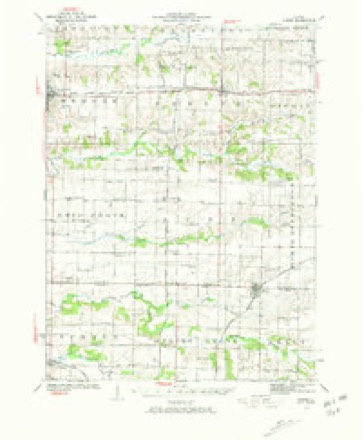
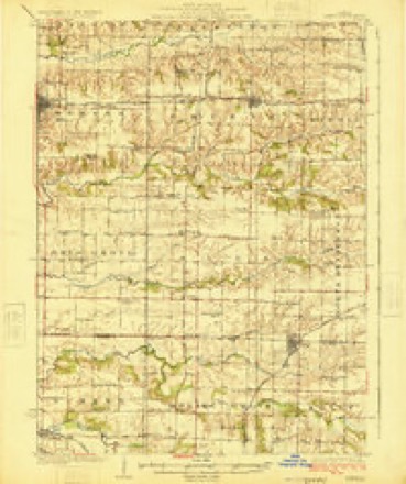
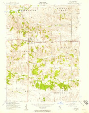
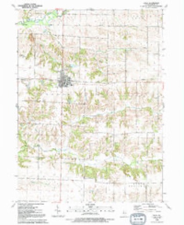
12 topographic sheets cover this place, the earliest surveyed in 1923 and the latest in 1992. It stands in Greene Township. It lies in ZIP code area 61486. The Survey maps it on the Viola quadrangle. It stands 787 feet above sea level.
Topographic sheets covering this place
9 surveys from 12 printed sheetsMatched by testing this settlement's coordinate against the published boundary of every sheet in the United States Geological Survey's historical collection. Each opens the scanned sheet at the Survey.
- 1923 USGS Alexis quadrangle1:62500, 2 printings
- 1925 USGS Alexis quadrangle1:62500
- 1953 USGS Viola quadrangle1:24000, 2 printings
- 1958 USGS Davenport quadrangle1:250000, 2 printings
- 1961 USGS Davenport quadrangle1:250000
- 1962 USGS Davenport quadrangle1:250000
- 1984 USGS Aledo quadrangle1:100000
- 1989 USGS Aledo quadrangle1:100000
- 1992 USGS Viola quadrangle1:24000





In the county-history sources
3,804 words on this townshipPast and Present of Mercer County, Illinois, published 1914 names this settlement in its chapter on Greene Township. These are the passages that mention it, exactly as the scans read.
During the '70s, '8os and '90s large quantities of coal were mined in this county and much of it was marketed. The remainder was sold for home consumption. The Empire and Aledo companies were in active operation at this time. The pay roll of these two companies in the early '90s amounted to about ten thousand dollars a month. The Gilchrist and Cable miners struck in May, 1894, and it required considerable time before thev could be satisfied with the conditions and pay offered.
Passage source: Past and Present of Mercer County, Illinois, published 1914.
In 1902 Viola had an athletic field day, upon which occasion baseball games were played, races were run and other sports indulged in. In the forenoon the Gilchrist Club played the Keithsburg Club, and in the afternoon the Gilchrist Club played the Aledo Club. In both of the games the Gilchrist nine won the greatest number of scores.
Passage source: Past and Present of Mercer County, Illinois, published 1914.
Machine-read from a century-old scan, so expect the errors a machine makes: misspelled names, dropped words, stray characters.
Read the whole chapter on Greene Township - it names this place 1 more 1 time.
Mines and quarries near this place
7 within 5 milesRegional context, not property-specific evidence. The federal mineral resources record lists 7 workings within 5 miles of Gilchrist: 4 occurrences, 1 producer, 1 past producer, 1 plant. 2 still produce. What was taken out: Stone, Crushed/Broken, Clay. Distance is straight-line from the map coordinates, so a quarry counted here may appear on a neighbouring settlement's page as well.
| Where | Site | Commodity | Status | Recorded |
|---|---|---|---|---|
| Hydraulic-Press Brick Co. Shale Pit | Clay | Past Producer | ||
| Limestone Prospect | Stone, Crushed/Broken | Occurrence | ||
| Limestone Prospect | Stone, Crushed/Broken | Occurrence | ||
| Limestone Prospect | Stone, Crushed/Broken | Occurrence | ||
| Limestone Prospect | Stone, Crushed/Broken | Occurrence | ||
| Mercer Co. Stone Quarry | Stone, Crushed/Broken | Producer | ||
| Viola Quarry and Mill | Stone, Crushed/Broken | Plant |
Storms near this place
6 since 1997Regional context, not property-specific evidence. The National Weather Service names Gilchrist in 6 storm reports between 1997 and 2025: 3 thunderstorm wind, 1 hail, 1 tornado, 1 flash flood. No death or injury is recorded in these reports. Each account below is quoted exactly as the forecast office filed it, from the NOAA Storm Events Database, and each date opens the federal record of that event.
| When | Event | Place named | Harm | What the report says |
|---|---|---|---|---|
| July 2025 | Flash Flood | Gilchrist | - | A public report of flash flooding at this location. |
| May 2023 | Thunderstorm Wind | Old Gilchrist | - | Reports of trees and powerlines down throughout the county. |
| June 2022 | Thunderstorm Wind | Gilchrist | - | A tree was blown down about 2 miles west of Viola on Highway 17. |
| July 2014 | Tornado (EF1) | Old Gilchrist | - | This tornado was rated EF-1 with a peak wind of 105 mph. Along its 3.6 mile path, this tornado crossed the roadway in several locations causing damage to crops, power poles and lines as well as to trees. Some branches were 1 to 3 inches in diameter and some tree trunks snapped off. |
| May 2008 | Hail | Old Gilchrist | - | Penny-sized hail fell just south of Matherville, IL around 8:15 am on May 30th. The hail was accompanied by heavy rain. Delayed report. |
| July 1997 | Thunderstorm Wind | Gilchrist | - | Storage building missing. |
Nearest settlements
The eight closest, with where each one stands in the county. Distances are straight-line, computed from the Geographic Names Information System coordinates.
| Map | Place | Distance | Sheets |
|---|---|---|---|
| Wanlock | 1.0 miles | 12 | |
| Shale City | 1.3 miles | 12 | |
| Old Gilchrist | 1.8 miles | 12 | |
| Viola | 2.0 miles | 12 | |
| Matherville | 3.9 miles | 18 | |
| Martin (historical) | 4.1 miles | 12 | |
| Boden | 4.2 miles | 18 | |
| Burgess | 5.5 miles | 12 |
Elsewhere
Matched on this settlement's Geographic Names Information System number rather than its name, so it cannot be a different place of the same name in another state.
| Wikipedia article on Gilchrist | An encyclopaedic summary. Its text is share-alike, so it is linked here rather than copied. |
| Wikidata item Q5561473 | The structured record the population and elevation above come from. Public domain (CC0). |
Provenance
This settlement is recorded in the Geographic Names Information System as feature 409000. The sheet list is computed by point-in-boundary test against the United States Geological Survey's historical topographic inventory. Both are works of the United States government and carry no copyright under 17 U.S.C. 105.
Mines and quarries. USGS Mineral Resources Data System (MRDS) https://mrdata.usgs.gov/mrds/ A work of the United States government, no copyright under 17 U.S.C. 105.
Storms. NOAA National Centers for Environmental Information, Storm Events Database https://www.ncei.noaa.gov/stormevents/ A work of the United States government, no copyright under 17 U.S.C. 105. Narratives are quoted verbatim from the National Weather Service report and are not edited or summarised.