 Block
Milton, Illinois
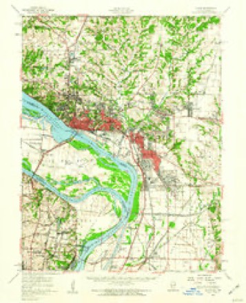
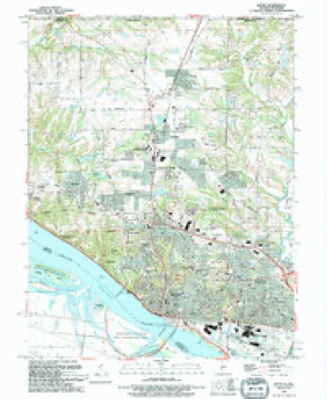
24 topographic sheets cover this place, the earliest surveyed in 1927 and the latest in 1994. It stands in Alton Township. It lies in ZIP code area 62002. It stands on Shields Branch. The Survey maps it on the Alton quadrangle.
On record in Milton
Buildings and businesses the archive holds for this place. Each opens its own page, with the source record it came from.
On the National Register within a mile 1 record
The National Register names another town for these. They stand within one mile of this settlement's coordinate.
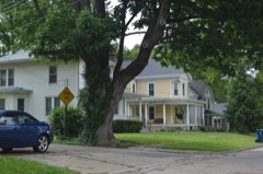 Upper Alton Historic Districtlisted 1978 · 0.4 miles away
Topographic sheets covering this place
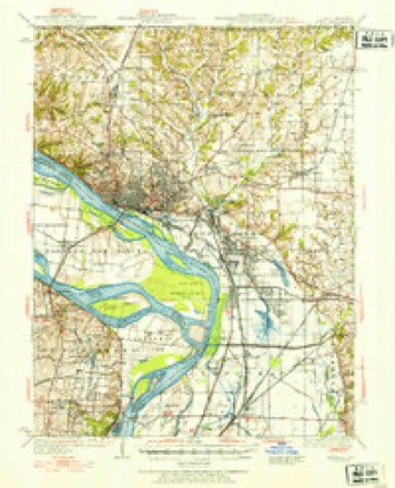
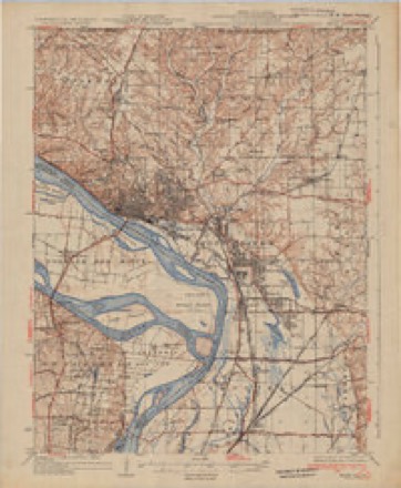
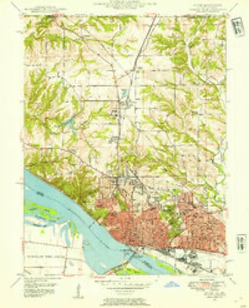
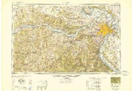
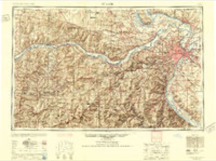
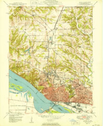
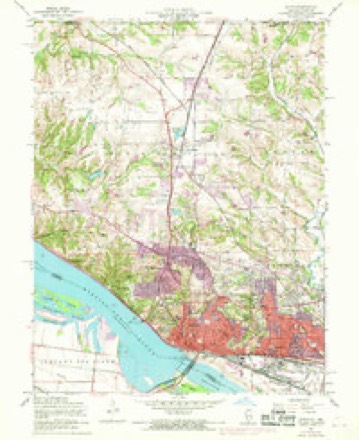
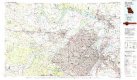
13 surveys from 24 printed sheetsMatched by testing this settlement's coordinate against the published boundary of every sheet in the United States Geological Survey's historical collection. Each opens the scanned sheet at the Survey.
- 1927 USGS Alton quadrangle1:62500
- 1934 USGS Alton quadrangle1:62500, 2 printings
- 1948 USGS Alton quadrangle1:24000
- 1949 USGS Saint Louis quadrangle1:250000
- 1949 USGS St. Louis quadrangle1:250000
- 1950 USGS Alton quadrangle1:24000, 2 printings
- 1954 USGS Alton quadrangle1:24000, 4 printings
- 1955 USGS Alton quadrangle1:62500, 2 printings
- 1962 USGS St. Louis quadrangle1:250000
- 1963 USGS St. Louis quadrangle1:250000, 4 printings
- 1966 USGS St. Louis quadrangle1:250000
- 1985 USGS St Louis quadrangle1:100000, 3 printings
- 1994 USGS Alton quadrangle1:24000
What happened here
An account from the chapter on Alton township. The inset identifies its exact source book and publication year.
City Court Of Alton
The Alton City Court was organized in 1859, and its first session was held on the 11th of April of that year. The name Was changed in 1874 from the Alton City Court to the City Court of Alton. It has jurisdiction of all chancery and common law causes, except murder. Henry W. Billings was the first judge.
In the county-history sources
44,031 words on this townshipHistory of Madison County, Illinois ... With Biographical Sketches .., published 1882 names this settlement in its chapter on Alton Township. These are the passages that mention it, exactly as the scans read.
Milton, in the forks of Wood river ; and it was found indispensable to build a bridge over Shields' Branch. A frame bridge was accordingly built by Joel Finch, under contract with Col. Easton, who agreed to pay him two hundred dollars at the store of Thomas Lippincott in Milton. This bridge was constructed very near the site of the present covered bridge, and the original was succeeded by one or two structures of a similar kind, at or about the same place, before the bridge which now spans the Branch was erected. At first the road wound partly through the bottom, but was soon made, as now, along the slope of the bluff.
Passage source: History of Madison County, Illinois ... With Biographical Sketches .., published 1882.
On the same page of the same paper is a notice, dated February 23d, 1820, in which Eneas Pembrook calls the attention of the traveling public to the fact that "The subscriber has caused the roads leading to and from Fountain ferry to be put in good repair ; and he has an excellent set of boats and hands." Lest travelers " be not misled nor otherwise delayed," he gives the following directions : " On leaving Milton for the river, keep the left hand road to the foot of the bluff. It is level and dry. lu travelling to the east, from St. Charles to the State of Illinois, take the right hand road, when you get within about a mile of Smeltzer's, where you will observe the marks of a sign board knocked down. In passing this way, you will not be ddained by high ^vinds."
Passage source: History of Madison County, Illinois ... With Biographical Sketches .., published 1882.
Three years later, in 1834, the same author, in his " Gazeteer of Illinois," writing of Upper Alton, states that there were " three stores, one house of entertainment, three physicians, various mechanics, a pottery, a commodious brick school-house for town purposes, a steam flouring-mill now toasts were drank, " interspersed with suitable pieces of vocal and instrumental music, and each accompanied with the discharge of a piece of artillery, together with the reiterated cheers and plaudits of the company." Benjamin Spencer, Hezekiah H. Gear, Dr. Hewetson of Milton, and Robert Sinclair were among those who participated in the toasts.
Passage source: History of Madison County, Illinois ... With Biographical Sketches .., published 1882.
Machine-read from a century-old scan, so expect the errors a machine makes: misspelled names, dropped words, stray characters.
Read the whole chapter on Alton Township - it names this place 7 more 7 times.
Fires near this place
3 since 2008Regional context, not property-specific evidence. The federal wildfire occurrence database lists 3 fires within 5 miles of Milton in 2008, burning about 3 acres in total. None started naturally. None was recorded as arson. Distance is straight-line from the map coordinates, so a fire counted here may appear on a neighbouring settlement's page as well.
| Reported cause | Fires |
|---|---|
| Missing data/not specified/undetermined | 3 |
The most recent of them, most recent first, with the day each was reported and the service that recorded it.
| Date | Cause | Size | Reported by | Name on the report |
|---|---|---|---|---|
| 21 May 2008 | Missing data/not specified/undetermined | 1.0 acres | Illinois Division of Forestry Resources | HATFIELD |
| 21 May 2008 | Missing data/not specified/undetermined | 1.0 acres | Illinois Division of Forestry Resources | ALLIANCE |
| 29 January 2008 | Missing data/not specified/undetermined | 1.0 acres | Illinois Division of Forestry Resources | RUPPERT |
Settlements close enough to share some of these fires:
Mines and quarries near this place
9 within 5 milesRegional context, not property-specific evidence. The federal mineral resources record lists 9 workings within 5 miles of Milton: 6 past producers, 2 producers, 1 plant. 3 still produce. What was taken out: Stone, Crushed/Broken, Sand and Gravel, Construction, Sulfur, Stone. Distance is straight-line from the map coordinates, so a quarry counted here may appear on a neighbouring settlement's page as well.
| Where | Site | Commodity | Status | Recorded |
|---|---|---|---|---|
| (Facility) Shell Oil Wood River Refinery | Sulfur | Plant | ||
| Alton Brick Co.Clay Shale Pit | Clay | Past Producer | ||
| Wood City Pit | Stone | Past Producer | ||
| Alton Dredge | Sand and Gravel, Construction | Past Producer | ||
| Twin River Loading Dock | Sand and Gravel, Construction | Past Producer | ||
| Alton Mine | Stone, Crushed/Broken | Producer | ||
| Mississippi Lime and Material Quarr | Stone, Crushed/Broken | Past Producer | ||
| Reliance Quarry | Stone, Crushed/Broken | Past Producer | ||
| Reliance Quarry Inc. Alton Quarry | Stone, Crushed/Broken | Producer |
Storms near this place
5 since 2008Regional context, not property-specific evidence. The National Weather Service names Milton in 5 storm reports between 2008 and 2026: 3 hail, 2 thunderstorm wind. No death or injury is recorded in these reports. Each account below is quoted exactly as the forecast office filed it, from the NOAA Storm Events Database, and each date opens the federal record of that event.
| When | Event | Place named | Harm | What the report says |
|---|---|---|---|---|
| July 2008 | Thunderstorm Wind | Milton | $100,000 | Thunderstorm winds blew over a large oak tree onto a business causing around $100,000 in damage. Also, the tree fell onto 2 garages destroying them and damaging 3 vehicles inside them. |
| August 2025 | Hail | Milton | - | A trained spotter on St. Louis Ave in East Alton reported half inch to 1 inch sized sized hail. |
| August 2025 | Thunderstorm Wind | Milton | - | Thunderstorm winds knocked down power lines and caused damage to structures near Alton. |
| April 2026 | Hail | Milton | - | no account filed |
| October 2017 | Hail | Milton | - | no account filed |
Nearest settlements
The eight closest, with where each one stands in the county. Distances are straight-line, computed from the Geographic Names Information System coordinates.
| Map | Place | Distance | Sheets |
|---|---|---|---|
| Upper Alton | 1.0 miles | 24 | |
| Sloan | 1.3 miles | 24 | |
| East Alton | 2.1 miles | 23 | |
| Alton | 2.3 miles | 24 | |
| Rosewood Heights | 3.1 miles | 23 | |
| Forest Homes | 3.2 miles | 23 | |
| North Alton | 3.3 miles | 24 | |
| Woods | 3.3 miles | 23 |
Provenance
This settlement is recorded in the Geographic Names Information System as feature 1736070. The sheet list is computed by point-in-boundary test against the United States Geological Survey's historical topographic inventory. Both are works of the United States government and carry no copyright under 17 U.S.C. 105.
Wildfire. Short, Karen C. 2022. Spatial wildfire occurrence data for the United States, 1992-2020 [FPA_FOD_20221014]. 6th Edition. Fort Collins, CO: Forest Service Research Data Archive. https://doi.org/10.2737/RDS-2013-0009.6 Collected with United States Government funding and usable without additional permissions or fees.
Mines and quarries. USGS Mineral Resources Data System (MRDS) https://mrdata.usgs.gov/mrds/ A work of the United States government, no copyright under 17 U.S.C. 105.
Storms. NOAA National Centers for Environmental Information, Storm Events Database https://www.ncei.noaa.gov/stormevents/ A work of the United States government, no copyright under 17 U.S.C. 105. Narratives are quoted verbatim from the National Weather Service report and are not edited or summarised.