 Block
Upper Alton, Illinois
24 topographic sheets cover this place, the earliest surveyed in 1927 and the latest in 1994. It stands in Alton Township. It lies in ZIP code area 62002. It stands on Rock Creek. The Survey maps it on the Alton quadrangle.
On record in Upper Alton
Buildings and businesses the archive holds for this place. Each opens its own page, with the source record it came from.
On the National Register within a mile 1 record
The National Register names another town for these. They stand within one mile of this settlement's coordinate.
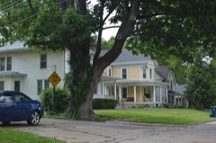 Upper Alton Historic Districtlisted 1978 · 0.6 miles away
Topographic sheets covering this place
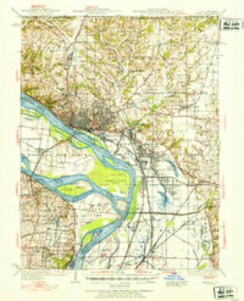
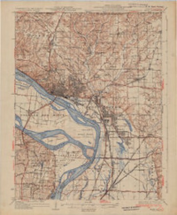
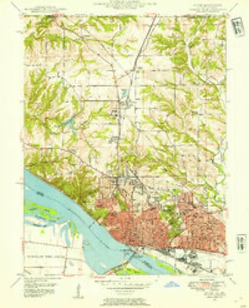
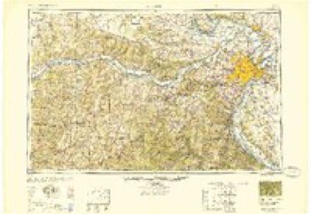
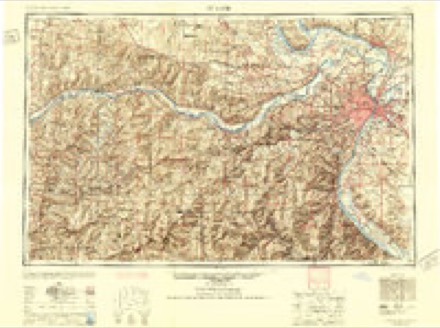
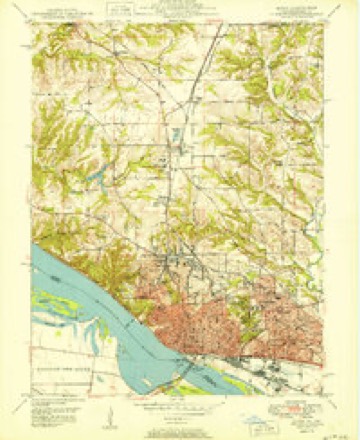
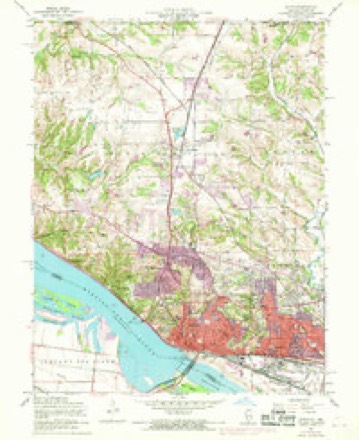
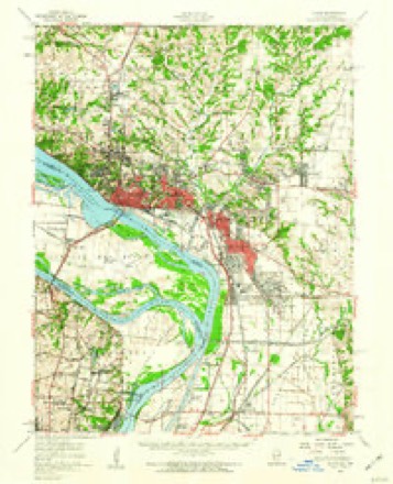
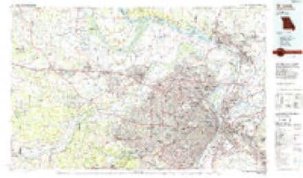
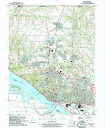
13 surveys from 24 printed sheetsMatched by testing this settlement's coordinate against the published boundary of every sheet in the United States Geological Survey's historical collection. Each opens the scanned sheet at the Survey.
- 1927 USGS Alton quadrangle1:62500
- 1934 USGS Alton quadrangle1:62500, 2 printings
- 1948 USGS Alton quadrangle1:24000
- 1949 USGS Saint Louis quadrangle1:250000
- 1949 USGS St. Louis quadrangle1:250000
- 1950 USGS Alton quadrangle1:24000, 2 printings
- 1954 USGS Alton quadrangle1:24000, 4 printings
- 1955 USGS Alton quadrangle1:62500, 2 printings
- 1962 USGS St. Louis quadrangle1:250000
- 1963 USGS St. Louis quadrangle1:250000, 4 printings
- 1966 USGS St. Louis quadrangle1:250000
- 1985 USGS St Louis quadrangle1:100000, 3 printings
- 1994 USGS Alton quadrangle1:24000
What happened here
An account from the chapter on Alton township. The inset identifies its exact source book and publication year.
City Court Of Alton
The Alton City Court was organized in 1859, and its first session was held on the 11th of April of that year. The name Was changed in 1874 from the Alton City Court to the City Court of Alton. It has jurisdiction of all chancery and common law causes, except murder. Henry W. Billings was the first judge.
In the county-history sources
44,031 words on this townshipHistory of Madison County, Illinois ... With Biographical Sketches .., published 1882 names this settlement in its chapter on Alton Township. These are the passages that mention it, exactly as the scans read.
The St. Louis papers about this time were influential in stirring up the deep feeling which had manifested itself at Alton. The iligsoiai Republican, which was generally taken and read at Alton, in its issue of August, 1837, said ; " We perceive that an Anti-slavery society has been formed at Upper Alton, and many others doubtless will shortly spring up in diflerent parts of the state. We had hoped that our neighbors would have ejected from amongst them that minister of mischief, the Observer, or at least corrected its course. Something must be done in this matter, and that speedily! The good people of Illinois must either put a stop to the efforts of these fanatics or expel them from the community. If this is not done, the travel of emigrants through their state, and the trade of the slaveholding states, and particularly Missouri, must stop. Every one who desires the harmony of the country and the peace and prosperity of all, should unite to put them down."
Passage source: History of Madison County, Illinois ... With Biographical Sketches .., published 1882.
At nine o'clock of the evening of the 21st of August, 1837, Mr. Lovejoy was assaulted by some eight or ten persons who, it is said, had determined to give him a coat of tar and feathers, and then send him adrift in a canoe down the Mississip])!. He then resided at Hunterstown in a building in a secluded spot below the road that led to Upper Alton ; and it was while on his way home from the drugstore with some medicine for his sick wife, that he was roughly stopped by the crowd, who at once disclosed their purpose. With great coolness, he said : " I have but one request to make of you, and then you may do with me what you please. My wife is dangerously ill, and it is necessary that she should have this prescription imraedidiately. Will one of you take it, and see that it is delivered at the house, but without intimating what is about to befal me? I am in the hands of God and ready to go with you." This request was complied with, and after a few moments of silence, one of the party exclaimed, "Boys, I can't lay ray hand on as brave a man as this ! " and turning away, he was followed by the others, and Mr. Lovejoy was left alone. But at a later hour during the same night a mob entered the Observer office, drove out the employes and completely demolished the press. Though these outrages were boldly committed, no attempt was made by the city officials to bring the riotors to justice.
Passage source: History of Madison County, Illinois ... With Biographical Sketches .., published 1882.
Another press, the fourth and the last, was ordered. The means to purchase it were furnished by some friends of free speech in Ohio. Some thought was entertained of transferring the publication of the paper to Quincy. A convention to form a State Anti-slavery Society met on the twenty-sixth of October, 1837, in the Presbyterian church at Upper Alton. Some of the opponents of the object of the meeting, among them Usher F. Linder, then attorney-general, and John Hogan, now of St. Louis, gained control of the convention ; though the real friends of the anti-slavery movement met elsewhere and organized a State Society, of which Mr. Lovejoy was made corresponding secretary, and recommended that the publication of the Observer should be continued at Alton. On the thirtieth of October, the Rev. Edward Beecher, then president of Illinois College, delivered an address in the Presbyterian church in Alton in which he expressed himself strongly in favor of defending Mr. Lovejoy to the last. Mr. Beecher's speech was interrupted by a stone being thrown through one of the church windows, and it is probable that serious trouble would have ensued had not ample provision been made to repel any attack by a mob. At the moment the stone was thrown, William Tanner called a company, previously organized, to arras, and in a few minutes the church door on either side was flanked by a row of armed men, whom it was not safe for any mob to attack. Among the citizens in line were Enoch Long and Aaron W. Corey. Mr. Beecher went on with iiis address to the close, and as the people retired Mayor Krum called on the outsiders to disperse. The promptness of their defense was due to the fact that after repeated consultations between Mayor Krum, Mr. Lovejoy, Winthrop S. Gilman, Henry Tanner and others a company of fifty men had been organized to resist any attack on Mr. Lovejoy, and to protect the new press which was daily expected to arrive.
Passage source: History of Madison County, Illinois ... With Biographical Sketches .., published 1882.
Machine-read from a century-old scan, so expect the errors a machine makes: misspelled names, dropped words, stray characters.
Read the whole chapter on Alton Township - it names this place 38 more 38 times.
Fires near this place
3 since 2008Regional context, not property-specific evidence. The federal wildfire occurrence database lists 3 fires within 5 miles of Upper Alton in 2008, burning about 3 acres in total. None started naturally. None was recorded as arson. Distance is straight-line from the map coordinates, so a fire counted here may appear on a neighbouring settlement's page as well.
| Reported cause | Fires |
|---|---|
| Missing data/not specified/undetermined | 3 |
The most recent of them, most recent first, with the day each was reported and the service that recorded it.
| Date | Cause | Size | Reported by | Name on the report |
|---|---|---|---|---|
| 21 May 2008 | Missing data/not specified/undetermined | 1.0 acres | Illinois Division of Forestry Resources | HATFIELD |
| 21 May 2008 | Missing data/not specified/undetermined | 1.0 acres | Illinois Division of Forestry Resources | ALLIANCE |
| 29 January 2008 | Missing data/not specified/undetermined | 1.0 acres | Illinois Division of Forestry Resources | RUPPERT |
Settlements close enough to share some of these fires:
Mines and quarries near this place
7 within 5 milesRegional context, not property-specific evidence. The federal mineral resources record lists 7 workings within 5 miles of Upper Alton: 5 past producers, 2 producers. 2 still produce. What was taken out: Stone, Crushed/Broken, Sand and Gravel, Construction, Clay. Distance is straight-line from the map coordinates, so a quarry counted here may appear on a neighbouring settlement's page as well.
| Where | Site | Commodity | Status | Recorded |
|---|---|---|---|---|
| Alton Brick Co.Clay Shale Pit | Clay | Past Producer | ||
| Alton Dredge | Sand and Gravel, Construction | Past Producer | ||
| Twin River Loading Dock | Sand and Gravel, Construction | Past Producer | ||
| Alton Mine | Stone, Crushed/Broken | Producer | ||
| Mississippi Lime and Material Quarr | Stone, Crushed/Broken | Past Producer | ||
| Reliance Quarry | Stone, Crushed/Broken | Past Producer | ||
| Reliance Quarry Inc. Alton Quarry | Stone, Crushed/Broken | Producer |
Storms near this place
1 since 2009Regional context, not property-specific evidence. The National Weather Service names Upper Alton in 1 storm report in 2009: 1 hail. No death or injury is recorded in these reports. Each account below is quoted exactly as the forecast office filed it, from the NOAA Storm Events Database, and each date opens the federal record of that event.
| When | Event | Place named | Harm | What the report says |
|---|---|---|---|---|
| July 2009 | Hail | Upper Alton | - | no account filed |
Nearest settlements
The eight closest, with where each one stands in the county. Distances are straight-line, computed from the Geographic Names Information System coordinates.
| Map | Place | Distance | Sheets |
|---|---|---|---|
| Sloan | 0.4 miles | 24 | |
| Milton | 1.0 miles | 24 | |
| Alton | 2.3 miles | 24 | |
| North Alton | 2.5 miles | 24 | |
| Woods | 2.7 miles | 23 | |
| Belmont Village | 2.8 miles | 24 | |
| East Alton | 3.0 miles | 23 | |
| Southmoor | 3.2 miles | 24 |
Elsewhere
Matched on this settlement's Geographic Names Information System number rather than its name, so it cannot be a different place of the same name in another state.
| Wikipedia article on Upper Alton | An encyclopaedic summary. Its text is share-alike, so it is linked here rather than copied. |
| Wikidata item Q16902379 | The structured record the population and elevation above come from. Public domain (CC0). |
Provenance
This settlement is recorded in the Geographic Names Information System as feature 1812371. The sheet list is computed by point-in-boundary test against the United States Geological Survey's historical topographic inventory. Both are works of the United States government and carry no copyright under 17 U.S.C. 105.
Wildfire. Short, Karen C. 2022. Spatial wildfire occurrence data for the United States, 1992-2020 [FPA_FOD_20221014]. 6th Edition. Fort Collins, CO: Forest Service Research Data Archive. https://doi.org/10.2737/RDS-2013-0009.6 Collected with United States Government funding and usable without additional permissions or fees.
Mines and quarries. USGS Mineral Resources Data System (MRDS) https://mrdata.usgs.gov/mrds/ A work of the United States government, no copyright under 17 U.S.C. 105.
Storms. NOAA National Centers for Environmental Information, Storm Events Database https://www.ncei.noaa.gov/stormevents/ A work of the United States government, no copyright under 17 U.S.C. 105. Narratives are quoted verbatim from the National Weather Service report and are not edited or summarised.