 Block
Denrock, Illinois
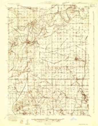
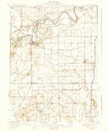
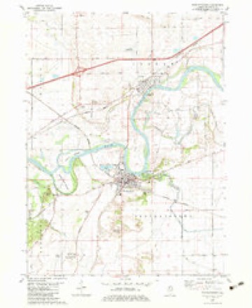
11 topographic sheets cover this place, the earliest surveyed in 1932 and the latest in 1985. It stands in Lyndon Township. It lies in ZIP code area 61261. It lies near Indian Island. The Survey maps it on the Prophetstown quadrangle.
Topographic sheets covering this place
6 surveys from 11 printed sheetsMatched by testing this settlement's coordinate against the published boundary of every sheet in the United States Geological Survey's historical collection. Each opens the scanned sheet at the Survey.
- 1932 USGS Prophetstown quadrangle1:48000
- 1936 USGS Prophetstown quadrangle1:62500, 3 printings
- 1958 USGS Aurora quadrangle1:250000, 3 printings
- 1961 USGS Aurora quadrangle1:250000
- 1982 USGS Prophetstown quadrangle1:24000
- 1985 USGS Dixon quadrangle1:100000, 2 printings



In the county-history sources
44,484 words on this townshipHistory of Whiteside County, Illinois, from Its First Settlement to the Present Time;, published 1877 names this settlement in its chapter on Lyndon Township. These are the passages that mention it, exactly as the scans read.
Round Grove, a railway station in the eastern part of Mt. Pleasant, was surveyed and laid out in January, 1856, by W. S. Wilkinson, at the direction of and for John A. Holland, Chas. D. Sanford, Jedediah I. Wonser, and James McCoy. Considerable shipping is done at this point by the farmers. There is a postoffice, store, etc., at the station. An excellent school house is located here, and also a Methodist church in which services are maintained by the Methodist Society, and occasionally by other denominations.
Passage source: History of Whiteside County, Illinois, from Its First Settlement to the Present Time;, published 1877.
Machine-read from a century-old scan, so expect the errors a machine makes: misspelled names, dropped words, stray characters.
Mines and quarries near this place
2 within 5 milesRegional context, not property-specific evidence. The federal mineral resources record lists 2 workings within 5 miles of Denrock: 1 producer, 1 past producer. 1 still produces. What was taken out: Sand and Gravel, Construction. Distance is straight-line from the map coordinates, so a quarry counted here may appear on a neighbouring settlement's page as well.
| Where | Site | Commodity | Status | Recorded |
|---|---|---|---|---|
| Collinson Pit and Mill | Sand and Gravel, Construction | Producer | ||
| Lynden Pit | Sand and Gravel, Construction | Past Producer |
Storms near this place
2 since 2015Regional context, not property-specific evidence. The National Weather Service names Denrock in 2 storm reports between 2015 and 2017: 1 flash flood, 1 tornado. No death or injury is recorded in these reports. Each account below is quoted exactly as the forecast office filed it, from the NOAA Storm Events Database, and each date opens the federal record of that event.
| When | Event | Place named | Harm | What the report says |
|---|---|---|---|---|
| May 2017 | Tornado (EF0) | Denrock | - | A brief EF-0 tornado touched down in open farmland as observed by 2 eyewitnesses. They stated they slowed down as it crossed the road with no damage observed by survey team. |
| July 2015 | Flash Flood | Denrock | - | Many streets were reported to be flooded with several inches of water in the town of Prophetstown. |
Nearest settlements
The eight closest, with where each one stands in the county. Distances are straight-line, computed from the Geographic Names Information System coordinates.
| Map | Place | Distance | Sheets |
|---|---|---|---|
| Hamilton Corners | 0.7 miles | 11 | |
| Pratt (historical) | 1.3 miles | 11 | |
| Portland | 2.6 miles | 11 | |
| Prophetstown | 2.9 miles | 11 | |
| Lyndon | 2.9 miles | 11 | |
| Fenton | 3.6 miles | 14 | |
| Valley Vista Estates | 3.8 miles | 11 | |
| Erie | 6.3 miles | 14 |
Elsewhere
Matched on this settlement's Geographic Names Information System number rather than its name, so it cannot be a different place of the same name in another state.
| Wikidata item Q97194745 | The structured record the population and elevation above come from. Public domain (CC0). |
Provenance
This settlement is recorded in the Geographic Names Information System as feature 422619. The sheet list is computed by point-in-boundary test against the United States Geological Survey's historical topographic inventory. Both are works of the United States government and carry no copyright under 17 U.S.C. 105.
Mines and quarries. USGS Mineral Resources Data System (MRDS) https://mrdata.usgs.gov/mrds/ A work of the United States government, no copyright under 17 U.S.C. 105.
Storms. NOAA National Centers for Environmental Information, Storm Events Database https://www.ncei.noaa.gov/stormevents/ A work of the United States government, no copyright under 17 U.S.C. 105. Narratives are quoted verbatim from the National Weather Service report and are not edited or summarised.