 Block
Pierson, Illinois
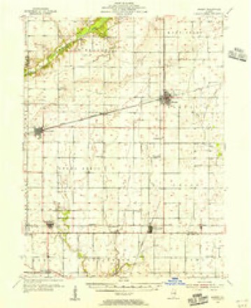
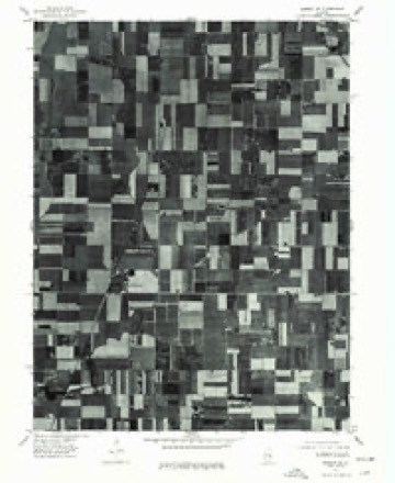
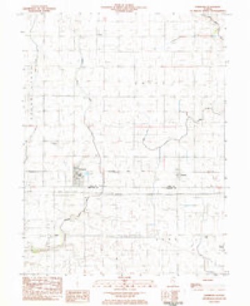
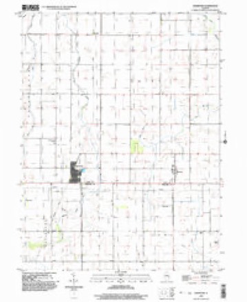
12 topographic sheets cover this place, the earliest surveyed in 1955 and the latest in 1998. It stands in Unity Township. It lies in ZIP code area 61929. The Survey maps it on the Hammond quadrangle. It stands 676 feet above sea level.
Topographic sheets covering this place
7 surveys from 12 printed sheetsMatched by testing this settlement's coordinate against the published boundary of every sheet in the United States Geological Survey's historical collection. Each opens the scanned sheet at the Survey.
- 1955 USGS Bement quadrangle1:62500, 2 printings
- 1958 USGS Decatur quadrangle1:250000, 3 printings
- 1961 USGS Decatur quadrangle1:250000, 2 printings
- 1975 USGS Bement SE quadrangle1:24000
- 1983 USGS Hammond quadrangle1:24000
- 1985 USGS Decatur quadrangle1:100000, 2 printings
- 1998 USGS Hammond quadrangle1:24000



In the county-history sources
4,025 words on this townshipHistory of Piatt County; Together with a Brief History of Illinois from the Discovery of the Upper Mississippi to the Present Time, published 1883 names this settlement in its chapter on Unity Township. These are the passages that mention it, exactly as the scans read.
The surface of the land is level, and for a number of years a great portion of it was covered with swamps, but since the settlements began to be scattered throughout the township sufficient ditching has been done to make the greater portion of the township tillable.
Passage source: History of Piatt County; Together with a Brief History of Illinois from the Discovery of the Upper Mississippi to the Present Time, published 1883.
The main slope of the ground, imperceptible though it may be, is toward the east and southeast, and the greater portion of the land is drained into the lake fork of the Okaw. This stream strikes this township about three miles west of the northeast corner of the township, flows southeast and Jeaves the township almost exactly at its southeast corner. This stream has a shallow bed, flows very slowly, and well deserves its name of Lake Fork. Quite a good belt of timber follows the course of this stream, which breaks the monotony of the prairie land.
Passage source: History of Piatt County; Together with a Brief History of Illinois from the Discovery of the Upper Mississippi to the Present Time, published 1883.
Two railroads cross Unity township. What was originally known as the Chicago & Paducah road strikes the northern boundary line about two miles from the northwestern corner of the township, runs south nearly five miles, and then bends a little to the southwest, leaving the township about one mile east of the southwest corner of the township. This road has two stations, Voorhies and Hammond, which is at the intersection of this road witli the Indianapolis, Decatur & Springfield railroad. The Indianapolis, Dacatur & Springfield road, which has lately become a part of the Indianapolis, Bloomington & Wabash system of roads, crosses the southern part of the township from east to west, and just half a mile from the southern township line. There are three stations on this road, Hammond, Pierson and Atwood, the latter lying only partly within the limits of Piatt county.
Passage source: History of Piatt County; Together with a Brief History of Illinois from the Discovery of the Upper Mississippi to the Present Time, published 1883.
Machine-read from a century-old scan, so expect the errors a machine makes: misspelled names, dropped words, stray characters.
Read the whole chapter on Unity Township - it names this place 6 more 6 times.
Nearest settlements
The eight closest, with where each one stands in the county. Distances are straight-line, computed from the Geographic Names Information System coordinates.
Elsewhere
Matched on this settlement's Geographic Names Information System number rather than its name, so it cannot be a different place of the same name in another state.
| Wikipedia article on Pierson | An encyclopaedic summary. Its text is share-alike, so it is linked here rather than copied. |
| Wikidata item Q14688023 | The structured record the population and elevation above come from. Public domain (CC0). |
Provenance
This settlement is recorded in the Geographic Names Information System as feature 415648. The sheet list is computed by point-in-boundary test against the United States Geological Survey's historical topographic inventory. Both are works of the United States government and carry no copyright under 17 U.S.C. 105.