 Block
Cable, Illinois
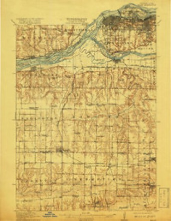
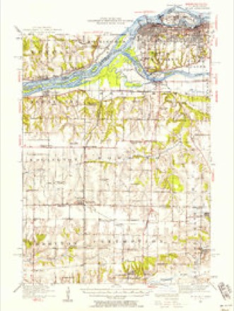
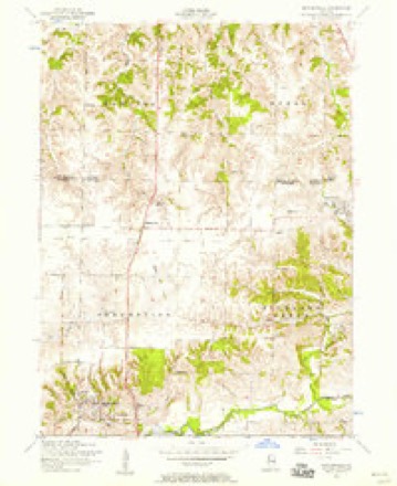
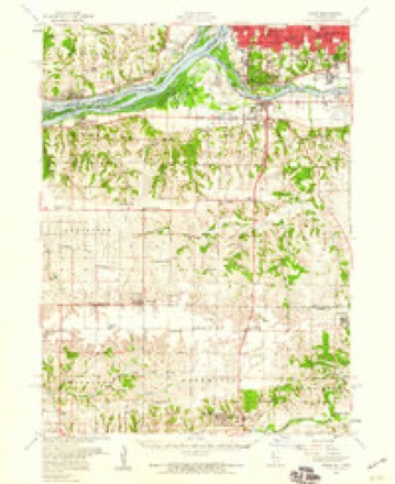
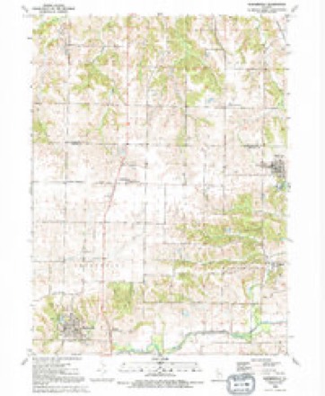
18 topographic sheets cover this place, the earliest surveyed in 1912 and the latest in 1991. It stands in Richland Grove Township. It lies in ZIP code area 61281. The Survey maps it on the Matherville quadrangle.
Topographic sheets covering this place
10 surveys from 18 printed sheetsMatched by testing this settlement's coordinate against the published boundary of every sheet in the United States Geological Survey's historical collection. Each opens the scanned sheet at the Survey.
- 1912 USGS Milan quadrangle1:62500, 7 printings
- 1944 USGS Milan quadrangle1:62500
- 1953 USGS Matherville quadrangle1:24000, 2 printings
- 1953 USGS Milan quadrangle1:62500
- 1958 USGS Davenport quadrangle1:250000, 2 printings
- 1961 USGS Davenport quadrangle1:250000
- 1962 USGS Davenport quadrangle1:250000
- 1984 USGS Aledo quadrangle1:100000
- 1989 USGS Aledo quadrangle1:100000
- 1991 USGS Matherville quadrangle1:24000





In the county-history sources
3,318 words on this townshipPast and Present of Mercer County, Illinois, published 1914 names this settlement in its chapter on Richland Grove Township. These are the passages that mention it, exactly as the scans read.
The Village of Cable was esatblished to meet the coal conditions of the early times. There were two mines in that vicinity that had an annual output of about eighty thousand tons, and 400 men were kept constantly employed. They had eight mining machines, each of which performed the labor of about six men. This coal was transported over the new railroad to Rock Island and thence throughout the western country. Robert Lee was one of the first superintendents in charge of the mines here. The place started back in the '6os with a small store and a few shops, and became a village proper in 1879. The first trustees were Robert Haddick, M. L. Bell, C. E. Clark, W. R. Pelton, Chris Schwartz, and Alexander Clark. John M. Waugh was the first clerk. At the first town election a total of sixtv-three votes were cast. Bv March, 1880, the village had a population of about one thousand. Three years before, the town site was a rough, barren coal tract, with only a few small houses. Around were rugged hills and lovely valleys. Philander Cable of Rock Island had prospected here and had made the discoverv of easily workable coal banks in this vicinity. Accordingly he purchased 600 acres and built the railroad from the junction at Reynolds to this point. Immediately business of all sorts sprang into existence until Cable was one of the most active and prosperous villages in western Illinois. There were at one time over twentv business houses, shops, stores, saloons, etc. Coal mining was the principal occupation and was carried on by three companies - Cables, R. B. Ellis and Mr. Peterson. The Cables employed about one hundred and fiftv men and shipped from two to three hundred tons per day. They paid out to their workmen close to seven thousand dollars a month. In March, 1880, they sank two more large shafts and increased their operations until their pay roll amounted to about ten thousand dollars a month. At this time the saloons became so troublesome that a desperate effort was made for their removal, but the saloonkeepers were doing so well among the miners that they made a desperate resistance and in the end managed to remain. The
Passage source: Past and Present of Mercer County, Illinois, published 1914.
Congregationalists had an organization here in 1880, but no building as yet. Public schools sprang quickly into activity, with Pliny M. Pierce as teacher. Previous to that the schools here had been in name more than anything else. T. H. Groshel was the manager of P. L. Cable & Company's store. Dr. J. R. Roseberry was here at this time.
Passage source: Past and Present of Mercer County, Illinois, published 1914.
In 1890 Cable was still growing rapidly and during that year up till the last of December paid out on new buildings and building improvements a total of $28,000. During the year the city spent about fifteen hundred dollars on streets, sidewalks, city lights, etc. New buildings were erected by Henry Irwin, W. F. Schroeder, Frank Hauton, R. B. Edis, Julius Leidtke, August Wallgren, Aurelius Peterson, Theodore Blinkensop, Eric Enwall, James Reed, E. Topper, B. A. Johnson, William Powell, Charles Liljemann, Charles Samuelson, Alfred Swartz, Axtel Johnson, Frank Campbell. Gus Thor, Ludwic Sward, William Haddick, William Tomlinson, George Jacobson, Hubert Ford, John Verderber, H. Williams, Jacob Fruchtenich, John Lalstrom, Johnson Brothers, J. J. Williams, Albert Odeen, John Murling, William Henderson, W. L. Haddick and Peter Johnson. B. A. Johnson conducted a livery and feed stable; John Lawson was a blacksmith; John Sward kept a hotel; George Wagner opened and managed an opera house. The Catholic church was established before this date. F. Rathbun sold agricultural implements; Dunglegarth & Hebbeln were coopers; Hugh & Son had an implement store, as did R. R. Cable & Company. The town was very prosperous and promising at this date. It had its building boom at this time. There were two barbers, two milliners, many dressmakers, two confectionery shops, a restaurant, etc. Mr. Brown was justice of the peace.
Passage source: Past and Present of Mercer County, Illinois, published 1914.
Machine-read from a century-old scan, so expect the errors a machine makes: misspelled names, dropped words, stray characters.
Read the whole chapter on Richland Grove Township - it names this place 3 more 3 times.
Mines and quarries near this place
1 within 5 milesRegional context, not property-specific evidence. The federal mineral resources record lists 1 working within 5 miles of Cable: 1 producer. All of them still produce. What was taken out: Sand and Gravel, Construction. Distance is straight-line from the map coordinates, so a quarry counted here may appear on a neighbouring settlement's page as well.
| Where | Site | Commodity | Status | Recorded |
|---|---|---|---|---|
| Barstow Plant No. 1 Dredge | Sand and Gravel, Construction | Producer |
Storms near this place
1 since 2024Regional context, not property-specific evidence. The National Weather Service names Cable in 1 storm report in 2024: 1 hail. No death or injury is recorded in these reports. Each account below is quoted exactly as the forecast office filed it, from the NOAA Storm Events Database, and each date opens the federal record of that event.
| When | Event | Place named | Harm | What the report says |
|---|---|---|---|---|
| April 2024 | Hail | Cable | - | no account filed |
Nearest settlements
The eight closest, with where each one stands in the county. Distances are straight-line, computed from the Geographic Names Information System coordinates.
| Map | Place | Distance | Sheets |
|---|---|---|---|
| Sherrard | 2.4 miles | 18 | |
| Griffin | 3.2 miles | 11 | |
| Swedona | 3.3 miles | 12 | |
| Preemption | 4.6 miles | 18 | |
| Boden | 4.6 miles | 18 | |
| Matherville | 5.6 miles | 18 | |
| Orangemans Hall | 5.7 miles | 18 | |
| New Windsor | 6.6 miles | 11 |
Provenance
This settlement is recorded in the Geographic Names Information System as feature 405328. The sheet list is computed by point-in-boundary test against the United States Geological Survey's historical topographic inventory. Both are works of the United States government and carry no copyright under 17 U.S.C. 105.
Mines and quarries. USGS Mineral Resources Data System (MRDS) https://mrdata.usgs.gov/mrds/ A work of the United States government, no copyright under 17 U.S.C. 105.
Storms. NOAA National Centers for Environmental Information, Storm Events Database https://www.ncei.noaa.gov/stormevents/ A work of the United States government, no copyright under 17 U.S.C. 105. Narratives are quoted verbatim from the National Weather Service report and are not edited or summarised.