 Block
Rardin, Illinois
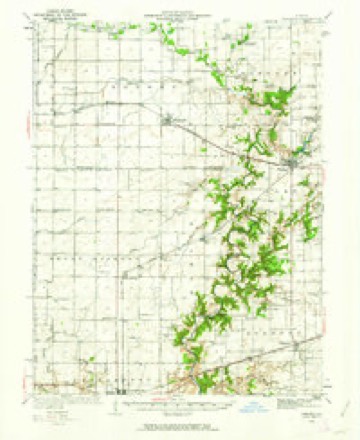
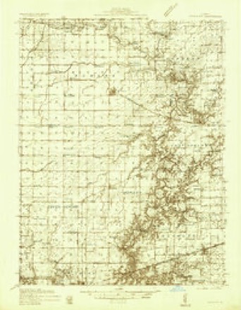
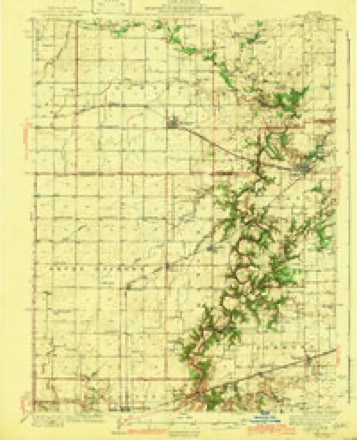
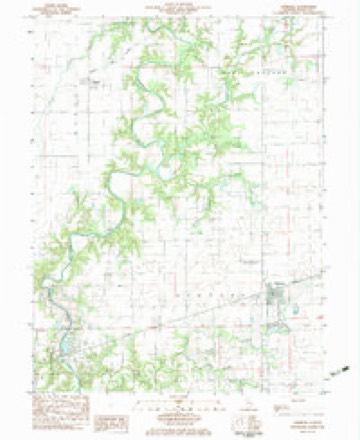
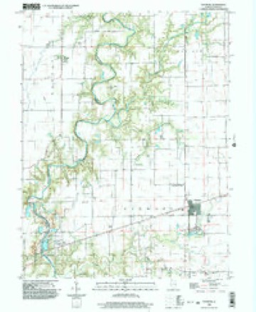
16 topographic sheets cover this place, the earliest surveyed in 1936 and the latest in 1998. It stands in Morgan Township. It lies in ZIP code area 61920. The Survey maps it on the Ashmore quadrangle. It stands 669 feet above sea level.
Topographic sheets covering this place
8 surveys from 16 printed sheetsMatched by testing this settlement's coordinate against the published boundary of every sheet in the United States Geological Survey's historical collection. Each opens the scanned sheet at the Survey.
- 1936 USGS Oakland quadrangle1:62500, 4 printings
- 1936 USGS Oakland quadrangle1:48000
- 1942 USGS Oakland quadrangle1:62500, 2 printings
- 1958 USGS Decatur quadrangle1:250000, 3 printings
- 1961 USGS Decatur quadrangle1:250000, 2 printings
- 1982 USGS Ashmore quadrangle1:24000
- 1985 USGS Decatur quadrangle1:100000, 2 printings
- 1998 USGS Ashmore quadrangle1:24000



In the county-history sources
12,632 words on this townshipThe History of Coles County, Illinois ... Map of Coles County; History of Illinois ... History of Northwest ... Constitution of the United States, Miscellaneous Matters, &c., &c, published 1879 names this settlement in its chapter on Morgan Township. These are the passages that mention it, exactly as the scans read.
David Morgan was the first Justice of the Peace in Morgan Township, and when the county adopted township organization, Nathan Thomas was elected the first Supervisor, and was succeeded the next year by John Winkleblack. The present Supervisor is J. B. Williams ; J. L. Rardin and Jesse Hudson, Justices of the Peace.
Passage source: The History of Coles County, Illinois ... Map of Coles County; History of Illinois ... History of Northwest ... Constitution of the United States, Miscellaneous Matters, &c., &c, published 1879.
Rardin Post Office is much the same kind of a place that Curtisville once was. We say once was, for what little there was of the place, has passed away, and there is nothing left to tell where it once stood but a dwelling and a blacksmith-shop. Rardin is on Section 4, and consists of a small store and a blacksmith-shop, together with a post office. Samuel Rardin keeps both the post office and the store. This little place and Curtisville, are the nearest that this neighborhood has ever approached to having a village in its midst.
Passage source: The History of Coles County, Illinois ... Map of Coles County; History of Illinois ... History of Northwest ... Constitution of the United States, Miscellaneous Matters, &c., &c, published 1879.
ARIS GALBRKATH, farmer ; P. 0. Rardin ; was born in Nicholas Co., Ky., Jan. 20, 1812. His parents removed to Scott Co., Ind., when he was 2 years of age, where he lived until 18 years of age, when he emigrated with his mother to Illinois and located in Edgar Co., in the Fall of 1830, where he engaged as farm laborer for two years at $8 per month ; in 1832, he located in Ashmore Tp., Coles Co., 111., working one year for $100, out of which he saved money to enter 40 acres of land, which he improved one year, when he sold out and purchased 240 acres, which he improved for ten years, which he then sold and entered 160 acres of prairie and purchased 40 acres of timber in Morgan Tp., upon which he Uved until 1875, when he removed upon his present place, after renting his old homestead; he now owns 300 acres of land with three sets of buildings. When Mr. G. located here, wolves and Indians were plenty, and to obtain quail, prairie chickens or other game, was only necessary to shoot from your door or window. He married Dec. 8, 1835, to Jane Reed ; she was born in Spencer Co., Ky., Oct. 9, 1817 ; they have three children, now living by this union - James T., born Oct. 9, 1836; William R., Nov. 4, 1838 ; Ann Eliza, born Jan. 5, 1841, Mrs. G. was a daughter of Thos. Reed, who emigrated from Kentucky and located in Illinois in 1829; he died in Ashmore Tp., in the winter of 1845. Mr. Galbreath has taken a deep interest in the cause of religion and education, havinij been a member of the C. P. Church for fifteen years: his wife having been a member for twenty-five years. He has held the offices of Assessor, Town Clerk and School Director ; the latter office he now holds.
Passage source: The History of Coles County, Illinois ... Map of Coles County; History of Illinois ... History of Northwest ... Constitution of the United States, Miscellaneous Matters, &c., &c, published 1879.
Machine-read from a century-old scan, so expect the errors a machine makes: misspelled names, dropped words, stray characters.
Read the whole chapter on Morgan Township - it names this place 14 more 14 times.
Mines and quarries near this place
2 within 5 milesRegional context, not property-specific evidence. The federal mineral resources record lists 2 workings within 5 miles of Rardin: 1 producer, 1 past producer. 1 still produces. What was taken out: Stone, Crushed/Broken, Sand and Gravel, Construction. Distance is straight-line from the map coordinates, so a quarry counted here may appear on a neighbouring settlement's page as well.
| Where | Site | Commodity | Status | Recorded |
|---|---|---|---|---|
| Charleston Quarry | Stone, Crushed/Broken | Producer | ||
| Hood & Son S&G Pit | Sand and Gravel, Construction | Past Producer |
Storms near this place
4 since 2006Regional context, not property-specific evidence. The National Weather Service names Rardin in 4 storm reports between 2006 and 2025: 2 tornado, 1 hail, 1 flash flood. No death or injury is recorded in these reports. Each account below is quoted exactly as the forecast office filed it, from the NOAA Storm Events Database, and each date opens the federal record of that event.
| When | Event | Place named | Harm | What the report says |
|---|---|---|---|---|
| March 2025 | Tornado (EF1) | Rardin | - | The tornado began west of the intersection of county roads 1600N and 2000E, resulting in the destruction of a farm outbuilding and tearing siding off a nearby house. The tornado continued northeast, crossing county road 2000E and snapping a few tree trunks before dissipating. The tornado was on the ground for two minutes. |
| December 2021 | Tornado (EF1) | Rardin | - | A tornado touched down about one quarter of a mile east of Rardin at 10:18 PM CST. The tornado did only tree damage with the greatest concentration through the wooded areas along the Embarras River. Evidence that the tornado was on the ground was also found along East County Road 1750 North. The tornado lifted 1 mile east of Oakland at 10:22 PM CST. |
| June 2014 | Flash Flood | Rardin | - | Heavy rain accumulation of 2.00 to 3.00 in one hour resulted in flash flooding of mainly rural areas in northeast Coles County. Streets in Oakland were flooded. Numerous rural roads were impassable in rural northeast Coles County between Oakland and Ashmore. The flooding subsided rapidly before daybreak. |
| June 2006 | Hail | Rardin | - | no account filed |
Nearest settlements
The eight closest, with where each one stands in the county. Distances are straight-line, computed from the Geographic Names Information System coordinates.
| Map | Place | Distance | Sheets |
|---|---|---|---|
| Bushton | 2.1 miles | 16 | |
| Fairgrange | 4.1 miles | 16 | |
| Oakland | 5.3 miles | 16 | |
| Embarrass | 6.0 miles | 16 | |
| Ashmore | 6.5 miles | 16 | |
| Kings | 8.1 miles | 15 | |
| Charleston | 8.4 miles | 12 | |
| Loxa | 11.5 miles | 14 |
Elsewhere
Matched on this settlement's Geographic Names Information System number rather than its name, so it cannot be a different place of the same name in another state.
| Wikipedia article on Rardin | An encyclopaedic summary. Its text is share-alike, so it is linked here rather than copied. |
| Wikidata item Q7294478 | The structured record the population and elevation above come from. Public domain (CC0). |
Provenance
This settlement is recorded in the Geographic Names Information System as feature 416396. The sheet list is computed by point-in-boundary test against the United States Geological Survey's historical topographic inventory. Both are works of the United States government and carry no copyright under 17 U.S.C. 105.
Mines and quarries. USGS Mineral Resources Data System (MRDS) https://mrdata.usgs.gov/mrds/ A work of the United States government, no copyright under 17 U.S.C. 105.
Storms. NOAA National Centers for Environmental Information, Storm Events Database https://www.ncei.noaa.gov/stormevents/ A work of the United States government, no copyright under 17 U.S.C. 105. Narratives are quoted verbatim from the National Weather Service report and are not edited or summarised.