 Block
Loxa, Illinois
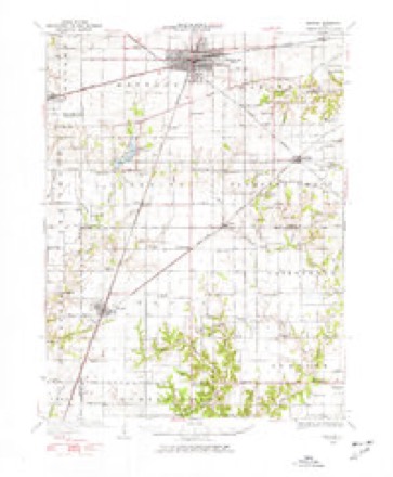
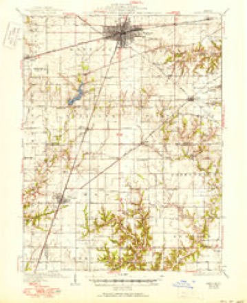
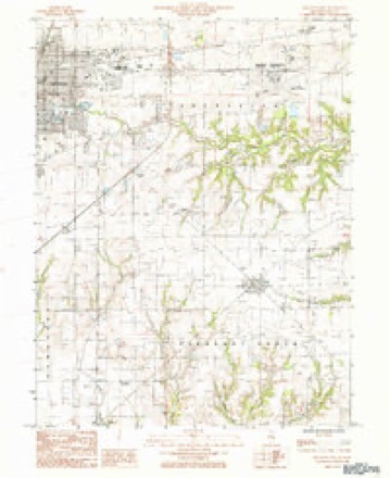
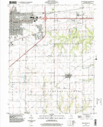
14 topographic sheets cover this place, the earliest surveyed in 1934 and the latest in 1998. It stands in Lafayette Township. It lies in ZIP code area 61938. The Survey maps it on the Mattoon East quadrangle. It stands 673 feet above sea level.
Topographic sheets covering this place
7 surveys from 14 printed sheetsMatched by testing this settlement's coordinate against the published boundary of every sheet in the United States Geological Survey's historical collection. Each opens the scanned sheet at the Survey.
- 1934 USGS Mattoon quadrangle1:62500, 2 printings
- 1937 USGS Mattoon quadrangle1:62500, 3 printings
- 1958 USGS Decatur quadrangle1:250000, 3 printings
- 1961 USGS Decatur quadrangle1:250000, 2 printings
- 1984 USGS Mattoon East quadrangle1:24000
- 1986 USGS Effingham quadrangle1:100000, 2 printings
- 1998 USGS Mattoon East quadrangle1:24000


In the county-history sources
7,878 words on this townshipThe History of Coles County, Illinois ... Map of Coles County; History of Illinois ... History of Northwest ... Constitution of the United States, Miscellaneous Matters, &c., &c, published 1879 names this settlement in its chapter on Lafayette Township. These are the passages that mention it, exactly as the scans read.
When the Indianapolis & St. Louis Railroad was completed through this township, a stopping-place was made where Stockton now is, that point being nearly half-way between Mattoon and Charleston. For about seven years, the condition of things remained the same, only a platform being built and a switch made. Capt. B. F. Jones was mainly instrumental in getting even this much of an arrangement, and during all this time, was a constant shipper. He brought the frame building immediately south of the track here, and used it as a storehouse and warehouse for several years. In the fall of 1863, Capt. Jones, who owned the land on which the village is now situated, concluded to lay out a town, and for that purpose had J. J. Peterson, a surveyor, plat the original village. In casting about for a name, Mr. Thomas E. Woods, then connected with the Mattoon Journal, suggested Stockton, and, without waiting to see if there was any other town or post office in the State of that name, it was adopted. When the post office was established here, soon after, another village in Illinois was indeed found of that name, with an office, and the postal authorities refused to christen this one by the name given it. After one or two effiarts, the name Loxa for the post office was suggested and accepted. 'Ihe citizens have several times endeavored to get the railroad company to change the name of the station to correspond with that of the post office, but, so far, have been unable to do so.
Passage source: The History of Coles County, Illinois ... Map of Coles County; History of Illinois ... History of Northwest ... Constitution of the United States, Miscellaneous Matters, &c., &c, published 1879.
G. B. DAVIS, farmer, Sec. 23; P. 0. Loxa; b(irn in Flutton Tp., Coles Co., Dec. 12, Ibolj ; was brought up a farmer; received his education in a common school during the winter months. Mr. D. resided at home with his parents until he was 32 years of age, during which time he assisted on the farm and also taught school ; he taught school in Button Tp. and the district where he now resides 104 months in all. He was married to Elizabeth Atkins Aus. 12, 1869 ; she was born in Clark Co., this State, Sept. 3, 1844; have two children - Sarah Annie and Mattic L. Held office of Town Clerk one year, and Justice of the Peace eight years ; was a soldier in the late war ; served in Co. C, t)8th I. V. I. ; held rank of Second Lieutenant ; went j from Charleston. He was in the expedition that captured John Morgan at the time of his famous raid in Ohio. Mr. D. is a member of the Baptist Church. Mrs. D. belongs to the Church of United Brethren. His parents, John C. and Elizabeth, were among the pioneer settlers of this county. Both are now deceased.
Passage source: The History of Coles County, Illinois ... Map of Coles County; History of Illinois ... History of Northwest ... Constitution of the United States, Miscellaneous Matters, &c., &c, published 1879.
RICHARD J. HANCOCK, farmer, Sec. 13 ; P. 0. Loxa ; owns 150 acres ; was born on the farm where he now resides, Oct. 20, 1838; was raised a farmer. Married Mary E. Snitt (daughter of John S. Snitt, Esq.) Nov. 30, 1865; she was born in Guernsey Co., Ohio, April 3, 1848 ; have six children - Nona, Anna, Nellie, John C, Carrie and Amanda S. Mr. H.'s father was born in North Carolina, March 13, 1797 ; went to Kentucky with his paren rs when an infant. At the age of 10 years he went to Indiana, and then to this county in 1830. His death occurred Feb. 19, 1871, where the subject of this s^ketch now resides. His first settlement was on this farm ; here he raised a family of ten children, only two of whom are now living ( the subject of this sketch and Mrs. Jones, of Loxa). Mr. H.'s mother (Keziah) , was born in Virginia, April 13, 1801 ; her death occurred here April 4, 1876. Mr. H. had two brothers in the army during the late war - John F., killed at Perryville, Ky., Oct. 8, 1862, and William T., who died at home, Jan. 20, 1872. Both were members of the 123d I. V. I.
Passage source: The History of Coles County, Illinois ... Map of Coles County; History of Illinois ... History of Northwest ... Constitution of the United States, Miscellaneous Matters, &c., &c, published 1879.
Machine-read from a century-old scan, so expect the errors a machine makes: misspelled names, dropped words, stray characters.
Fires near this place
1 since 2019Regional context, not property-specific evidence. The federal wildfire occurrence database lists 1 fire within 5 miles of Loxa in 2019, burning under an acre in total. None started naturally. None was recorded as arson. Distance is straight-line from the map coordinates, so a fire counted here may appear on a neighbouring settlement's page as well.
| Reported cause | Fires |
|---|---|
| Debris and open burning | 1 |
The most recent of them, most recent first, with the day each was reported and the service that recorded it.
| Date | Cause | Size | Reported by | Name on the report |
|---|---|---|---|---|
| 27 March 2019 | Debris and open burning | under an acre | Illinois Division of Forestry Resources | 2019-63 |
Settlements close enough to share some of these fires:
Mines and quarries near this place
1 within 5 milesRegional context, not property-specific evidence. The federal mineral resources record lists 1 working within 5 miles of Loxa: 1 past producer. None of them still produces. What was taken out: Sand and Gravel, Construction. Distance is straight-line from the map coordinates, so a quarry counted here may appear on a neighbouring settlement's page as well.
| Where | Site | Commodity | Status | Recorded |
|---|---|---|---|---|
| Martinis Sand and Gravel Pit | Sand and Gravel, Construction | Past Producer |
Storms near this place
3 since 2002Regional context, not property-specific evidence. The National Weather Service names Loxa in 3 storm reports in 2002: 3 hail. No death or injury is recorded in these reports. Each account below is quoted exactly as the forecast office filed it, from the NOAA Storm Events Database, and each date opens the federal record of that event.
| When | Event | Place named | Harm | What the report says |
|---|---|---|---|---|
| April 2002 | Hail | Loxa | - | no account filed |
| August 2002 | Hail | Loxa | - | no account filed |
| August 2002 | Hail | Loxa | - | no account filed |
Nearest settlements
The eight closest, with where each one stands in the county. Distances are straight-line, computed from the Geographic Names Information System coordinates.
| Map | Place | Distance | Sheets |
|---|---|---|---|
| Country Club Estates | 3.8 miles | 14 | |
| Rolling Green | 4.3 miles | 14 | |
| Newby | 4.7 miles | 14 | |
| Jones | 4.8 miles | 14 | |
| Charleston | 4.8 miles | 12 | |
| Dorans | 5.5 miles | 13 | |
| Lerna | 5.6 miles | 14 | |
| Mattoon | 5.7 miles | 14 |
Elsewhere
Matched on this settlement's Geographic Names Information System number rather than its name, so it cannot be a different place of the same name in another state.
| Wikipedia article on Loxa | An encyclopaedic summary. Its text is share-alike, so it is linked here rather than copied. |
| Wikidata item Q6694236 | The structured record the population and elevation above come from. Public domain (CC0). |
Provenance
This settlement is recorded in the Geographic Names Information System as feature 412727. The sheet list is computed by point-in-boundary test against the United States Geological Survey's historical topographic inventory. Both are works of the United States government and carry no copyright under 17 U.S.C. 105.
Wildfire. Short, Karen C. 2022. Spatial wildfire occurrence data for the United States, 1992-2020 [FPA_FOD_20221014]. 6th Edition. Fort Collins, CO: Forest Service Research Data Archive. https://doi.org/10.2737/RDS-2013-0009.6 Collected with United States Government funding and usable without additional permissions or fees.
Mines and quarries. USGS Mineral Resources Data System (MRDS) https://mrdata.usgs.gov/mrds/ A work of the United States government, no copyright under 17 U.S.C. 105.
Storms. NOAA National Centers for Environmental Information, Storm Events Database https://www.ncei.noaa.gov/stormevents/ A work of the United States government, no copyright under 17 U.S.C. 105. Narratives are quoted verbatim from the National Weather Service report and are not edited or summarised.