 Block
Slackwater, Illinois
14 topographic sheets cover this place, the earliest surveyed in 1944 and the latest in 1990. It stands in Essex Township. It lies in ZIP code area 61483. It stands on Indian Creek. The Survey maps it on the Princeville quadrangle. The federal gazetteer marks this settlement historical: it is no longer a populated place, though the surveys that recorded it still are.
Topographic sheets covering this place
9 surveys from 14 printed sheetsMatched by testing this settlement's coordinate against the published boundary of every sheet in the United States Geological Survey's historical collection. Each opens the scanned sheet at the Survey.
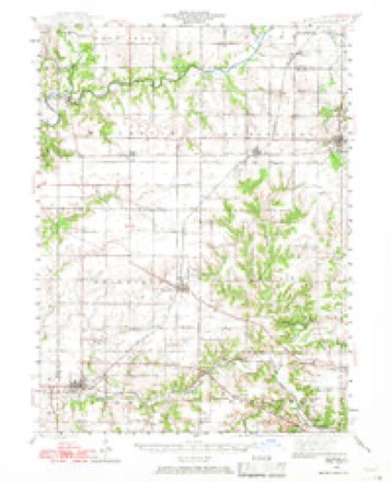
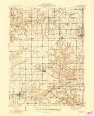
- 1944 USGS Elmwood quadrangle1:62500, 2 printings
- 1948 USGS Elmwood quadrangle1:62500, 2 printings
- 1958 USGS Peoria quadrangle1:250000, 4 printings
- 1961 USGS Peoria quadrangle1:250000
- 1963 USGS Peoria quadrangle1:250000
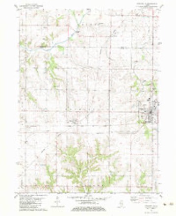
- 1982 USGS Princeville quadrangle1:24000
- 1985 USGS Peoria quadrangle1:100000
- 1989 USGS Peoria quadrangle1:100000
- 1990 USGS Peoria quadrangle1:250000






In the county-history sources
18,996 words on this townshipDocuments and Biography Pertaining to the Settlement and Progress of Stark County, Illinois : Containing an Authentic Summary of Records, Documents, Historical Works and Newspapers Relating to Indian History, Original Settlement, Organization and Politics ..., published 1887 names this settlement in its chapter on Essex Township. These are the passages that mention it, exactly as the scans read.
I II IS division of the county was settled in 1829 by the Essex family, in whose honor the name was given to it in 1853, by Calvin Eastman, Henry Breese and T. F. Hurd, the commissioners under the act of 1851 for dividing the county into townships. Essex forms the center of the trio of Stark's southern divisions. It is a full congressional township ; but owing to the fact that the vagrant Spoon river and rambling Indian creek selected it as a special section for their wanderings, the area under cultivation is not of equal extent. The population in 1880, including part of Wyoming village, was 1,452, the village claiming 434. The villages of Duncan, Slackwater, and Stringtown form the leading settlements. Moulton on its northern border, and Massillon on its western border long since passed away, and their sites were plowed over by the modern husbandman. Princeville township, adjoining on the south, was settled by Daniel Prince, in 1822, but the family of Stephen French was the first there. Miss Esther Stoddard taught'the first school ; Theodore F. Hurd was the first male teacher. Rev. Robert Stewart, a Presbyterian, was the first preacher, while the first death was that of Isaac Essex's father-inlaw. Princeville village was platted for W. C. Stevens, in 1837, where the Presbyterian church of 1834 was built. Monica is a new village. About the time the first settlers came into this district of Spoon river, the Indians were residents. Subsequently they moved some miles westward and did not return until 1830, when they remained a few years. At this time the forest presented its huge trees without underbrush, with Indian trails stretching out in every direction.
Passage source: Documents and Biography Pertaining to the Settlement and Progress of Stark County, Illinois : Containing an Authentic Summary of Records, Documents, Historical Works and Newspapers Relating to Indian History, Original Settlement, Organization and Politics ..., published 1887.
Machine-read from a century-old scan, so expect the errors a machine makes: misspelled names, dropped words, stray characters.
Fires near this place
1 since 2018Regional context, not property-specific evidence. The federal wildfire occurrence database lists 1 fire within 5 miles of Slackwater (historical) in 2018, burning about 25 acres in total. None started naturally. None was recorded as arson. Distance is straight-line from the map coordinates, so a fire counted here may appear on a neighbouring settlement's page as well.
| Reported cause | Fires |
|---|---|
| Debris and open burning | 1 |
The most recent of them, most recent first, with the day each was reported and the service that recorded it.
| Date | Cause | Size | Reported by | Name on the report |
|---|---|---|---|---|
| 29 April 2018 | Debris and open burning | 25 acres | Illinois Division of Forestry Resources | 2018220 |
Settlements close enough to share some of these fires:
Mines and quarries near this place
3 within 5 milesRegional context, not property-specific evidence. The federal mineral resources record lists 3 workings within 5 miles of Slackwater (historical): 3 past producers. None of them still produces. What was taken out: Sand and Gravel, Construction, Clay. Distance is straight-line from the map coordinates, so a quarry counted here may appear on a neighbouring settlement's page as well.
| Where | Site | Commodity | Status | Recorded |
|---|---|---|---|---|
| Prince Run Creek Shale Exposure | Clay | Past Producer | ||
| Chipman Pit | Sand and Gravel, Construction | Past Producer | ||
| Stoekers Pit | Sand and Gravel, Construction | Past Producer |
Nearest settlements
The eight closest, with where each one stands in the county. Distances are straight-line, computed from the Geographic Names Information System coordinates.
| Map | Place | Distance | Sheets |
|---|---|---|---|
| Duncan | 1.7 miles | 14 | |
| Stark | 4.2 miles | 21 | |
| Wyoming | 6.0 miles | 10 | |
| West Jersey | 6.2 miles | 10 | |
| Toulon | 8.0 miles | 10 | |
| Speer | 9.0 miles | 21 | |
| Modena | 11.0 miles | 10 | |
| Waldron (historical) | 11.1 miles | 10 |
Provenance
This settlement is recorded in the Geographic Names Information System as feature 1829245. The sheet list is computed by point-in-boundary test against the United States Geological Survey's historical topographic inventory. Both are works of the United States government and carry no copyright under 17 U.S.C. 105.
Wildfire. Short, Karen C. 2022. Spatial wildfire occurrence data for the United States, 1992-2020 [FPA_FOD_20221014]. 6th Edition. Fort Collins, CO: Forest Service Research Data Archive. https://doi.org/10.2737/RDS-2013-0009.6 Collected with United States Government funding and usable without additional permissions or fees.
Mines and quarries. USGS Mineral Resources Data System (MRDS) https://mrdata.usgs.gov/mrds/ A work of the United States government, no copyright under 17 U.S.C. 105.