 Block
Stark, Illinois
21 topographic sheets cover this place, the earliest surveyed in 1893 and the latest in 1998. It stands in Valley Township. It lies in ZIP code area 61559. It stands on Prince Run. The Survey maps it on the Edelstein quadrangle. It stands 659 feet above sea level.
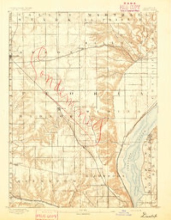
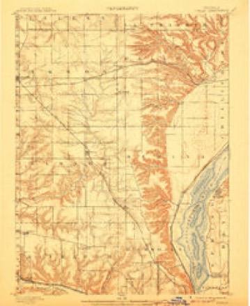
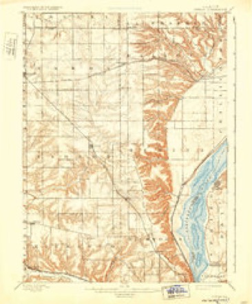
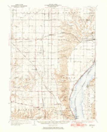
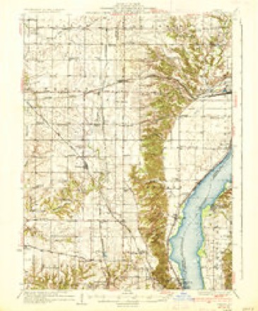
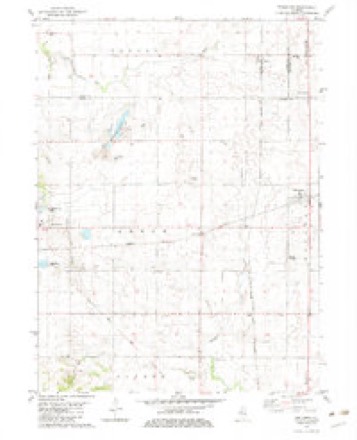
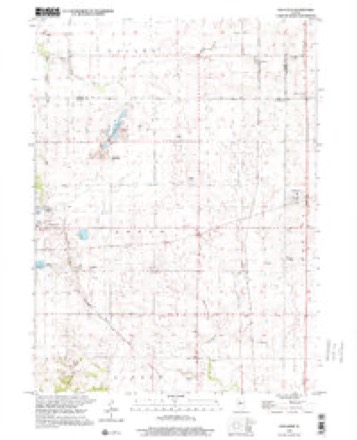
Topographic sheets covering this place
13 surveys from 21 printed sheetsMatched by testing this settlement's coordinate against the published boundary of every sheet in the United States Geological Survey's historical collection. Each opens the scanned sheet at the Survey.
- 1893 USGS Dunlap quadrangle1:62500
- 1898 USGS Dunlap quadrangle1:62500, 4 printings
- 1932 USGS Dunlap quadrangle1:62500
- 1933 USGS Dunlap quadrangle1:62500
- 1937 USGS Dunlap quadrangle1:62500, 3 printings
- 1958 USGS Peoria quadrangle1:250000, 4 printings
- 1961 USGS Peoria quadrangle1:250000
- 1963 USGS Peoria quadrangle1:250000
- 1982 USGS Edelstein quadrangle1:24000
- 1985 USGS Peoria quadrangle1:100000
- 1989 USGS Peoria quadrangle1:100000
- 1990 USGS Peoria quadrangle1:250000
- 1998 USGS Edelstein quadrangle1:24000






In the county-history sources
13,994 words on this townshipDocuments and Biography Pertaining to the Settlement and Progress of Stark County, Illinois : Containing an Authentic Summary of Records, Documents, Historical Works and Newspapers Relating to Indian History, Original Settlement, Organization and Politics ..., published 1887 names this settlement in its chapter on Valley Township. These are the passages that mention it, exactly as the scans read.
Anderson built the first residence there some years a^o. Many cottages have since been erected, and with the stores, depot, grain warehouse, and stores and shops named, give tlie liamlet a business-hke appearance.
Passage source: Documents and Biography Pertaining to the Settlement and Progress of Stark County, Illinois : Containing an Authentic Summary of Records, Documents, Historical Works and Newspapers Relating to Indian History, Original Settlement, Organization and Politics ..., published 1887.
Churcli and Society. - -The Methodist Protestant Church of Yalley was organized in February, 1808, with the following named members : Welden Reagan, Sarah Reagan, Maria Luper, Richard and Ann Hight, Daniel S. and Clarinda Thurston, John C. and Rachel Wright, Thomas and Ann Ileywood, Emma Pilgrim, Alice and Nancy A. Scott, Elizabeth Pettit, JosejJi and Rebecca Essex, John and Mary Haines, Viola (Haines) Keeling, Elizabeth Simms. Of the above six removed. Emma Pilgrim died in 1881 and Joseph Essex also died. There were 123 receptions into the churcli up to June 13, 1886, no less than sixteen becoming members during tlie revival meeting of January, 1884. Wady Petra Grange was presidetl over by Jacob Taylor, witli William Peterson, secretary.
Passage source: Documents and Biography Pertaining to the Settlement and Progress of Stark County, Illinois : Containing an Authentic Summary of Records, Documents, Historical Works and Newspapers Relating to Indian History, Original Settlement, Organization and Politics ..., published 1887.
Joseph Anderson, son of John and Hannah (Davis) Andereon, was born in Butler county. O., March IS. 1827, to which state his father removed from his native Penns3^1vania. About 1821 John married Miss Davis, of Ohio, and for the ten following years made his home there. The family moved to Taze\yell county, 111., in 1831, and there were known among the leading farmers until 1851, when John Anderson retired, selling the farm. Sixteen vears later Mr. Anderson. Sr., died in Indiana in his eighty-second year; bis widow residing with the children until her death, in 1880, at her son's home in her eightj^-third 3" ear. Of their thirteen children seven are living. Joseph Anderson, the fifth child in order of seniority, resided with his parents on the farm until twenty-one years of age. At this time he married Miss Susanna McGinness, of Peoria county, remained two years in Tazewell county, then moved to the farm in Peoria county, where for twentvfive years they made their home, prior to their removal to Stark county. Here he built a modern residence for his home and an elevator for the grain trade which he established, together with other buildings, accomphshing as much to build up Stark village as any other one man. Politically he is Republican, in society matters, holds a high place in (Jdd Fellows circles. His wife is a member of the Congregational church and prominent wherever woman's work is called for. Of their eleven children, George W. is deceased ; James W., conductor on C. I. P. P.; Mary J., in Kansas ; Frank M.. in Stark ; Sarah E., deceased ; John II., engineer at Rock Island ; Lewis AY., Robert C, and Ulyssus L., in Iowa ; Xathan A., here ; and Edward E., deceased. U. L. Anderson is vardmaster of the Central Iowa Railroad at Keithsljuro-, 111. Mr. Anderson is now about sixty years old. He was an infant pioneer of Ohio and came to the military tract of Illinois while it was a wilderness, so that in two states he has passed through the pioneer period, and appears today to be a man of forty rather than sixty summei's. Idleness has not brought him this look of youth, for in every part he has taken, whether on the farm, in the grain warehouse, oi' luml)er yard, he has always been a worker. AVith Mrs. Anderson his home at Stark is a model one.
Passage source: Documents and Biography Pertaining to the Settlement and Progress of Stark County, Illinois : Containing an Authentic Summary of Records, Documents, Historical Works and Newspapers Relating to Indian History, Original Settlement, Organization and Politics ..., published 1887.
Machine-read from a century-old scan, so expect the errors a machine makes: misspelled names, dropped words, stray characters.
Read the whole chapter on Valley Township - it names this place 26 more 26 times.
Mines and quarries near this place
5 within 5 milesRegional context, not property-specific evidence. The federal mineral resources record lists 5 workings within 5 miles of Stark: 4 past producers, 1 producer. 1 still produces. What was taken out: Sand and Gravel, Construction, Stone, Crushed/Broken, Clay. Distance is straight-line from the map coordinates, so a quarry counted here may appear on a neighbouring settlement's page as well.
| Where | Site | Commodity | Status | Recorded |
|---|---|---|---|---|
| Prince Run Creek Shale Exposure | Clay | Past Producer | ||
| Chipman Pit | Sand and Gravel, Construction | Past Producer | ||
| Long Rock Quarry | Stone, Crushed/Broken | Producer | ||
| Princeville Stone Co. Quarry | Stone, Crushed/Broken | Past Producer | ||
| Stoekers Pit | Sand and Gravel, Construction | Past Producer |
Storms near this place
1 since 2008Regional context, not property-specific evidence. The National Weather Service names Stark in 1 storm report in 2008: 1 flash flood. No death or injury is recorded in these reports. Each account below is quoted exactly as the forecast office filed it, from the NOAA Storm Events Database, and each date opens the federal record of that event.
| When | Event | Place named | Harm | What the report says |
|---|---|---|---|---|
| December 2008 | Flash Flood | Stark | - | Camp Run Creek north of the town of Stark rapidly rose out of its banks. This caused high water to flood portions of 1300 East and West jersey Blacktop. |
Nearest settlements
The eight closest, with where each one stands in the county. Distances are straight-line, computed from the Geographic Names Information System coordinates.
| Map | Place | Distance | Sheets |
|---|---|---|---|
| Duncan | 2.5 miles | 14 | |
| Slackwater (historical) | 4.2 miles | 14 | |
| Wyoming | 4.8 miles | 10 | |
| Speer | 5.0 miles | 21 | |
| Castleton | 8.7 miles | 12 | |
| Toulon | 9.3 miles | 10 | |
| Waldron (historical) | 9.6 miles | 10 | |
| Modena | 9.7 miles | 10 |
Elsewhere
Matched on this settlement's Geographic Names Information System number rather than its name, so it cannot be a different place of the same name in another state.
| Wikipedia article on Stark | An encyclopaedic summary. Its text is share-alike, so it is linked here rather than copied. |
| Wikidata item Q7601940 | The structured record the population and elevation above come from. Public domain (CC0). |
Provenance
This settlement is recorded in the Geographic Names Information System as feature 423203. The sheet list is computed by point-in-boundary test against the United States Geological Survey's historical topographic inventory. Both are works of the United States government and carry no copyright under 17 U.S.C. 105.
Mines and quarries. USGS Mineral Resources Data System (MRDS) https://mrdata.usgs.gov/mrds/ A work of the United States government, no copyright under 17 U.S.C. 105.
Storms. NOAA National Centers for Environmental Information, Storm Events Database https://www.ncei.noaa.gov/stormevents/ A work of the United States government, no copyright under 17 U.S.C. 105. Narratives are quoted verbatim from the National Weather Service report and are not edited or summarised.