 Block
Sugar Grove, Illinois
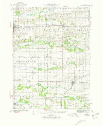
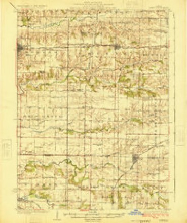
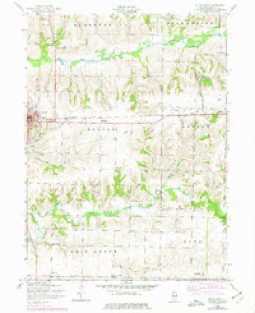
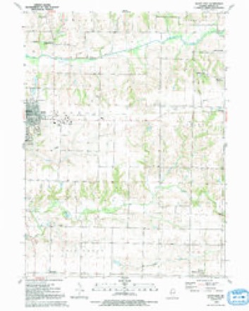
12 topographic sheets cover this place, the earliest surveyed in 1923 and the latest in 1992. It stands in Mercer Township. It lies in ZIP code area 61231. The Survey maps it on the Aledo East quadrangle.
Topographic sheets covering this place
9 surveys from 12 printed sheetsMatched by testing this settlement's coordinate against the published boundary of every sheet in the United States Geological Survey's historical collection. Each opens the scanned sheet at the Survey.
- 1923 USGS Alexis quadrangle1:62500, 2 printings
- 1925 USGS Alexis quadrangle1:62500
- 1953 USGS Aledo East quadrangle1:24000, 2 printings
- 1958 USGS Davenport quadrangle1:250000, 2 printings
- 1961 USGS Davenport quadrangle1:250000
- 1962 USGS Davenport quadrangle1:250000
- 1984 USGS Aledo quadrangle1:100000
- 1989 USGS Aledo quadrangle1:100000
- 1992 USGS Aledo East quadrangle1:24000





In the county-history sources
53,031 words on this townshipHistory of Mercer County : Together with Biographical Matter, Statistics, Etc., Gathered from Mattter Furnished by the Mercer County Historical Society, Interviews with Old Settlers, County, Township and Other Records, and Extracts from Files of Papers, Pamphlets, and Such Other Sources As Have Been Available : Containing Also a Short History of Henderson County, published 1882 names this settlement in its chapter on Mercer Township. These are the passages that mention it, exactly as the scans read.
Mercer township includes all the congressional township known as 14 N., R. 3 west of the 4th P. M. The soil is generally black and rich, with some clay along the brakes and water courses. It is well watered, Edwards river traversing the north tier of sections, from east to west, and Pope creek crossing the southeast corner and following west near the south line, in Ohio Grove township. These, with their numerous runs, as feeders, furnish an ample supply of water for stock and irrigation. Along the creeks the land is broken, but there is very little so steep that it cannot be cultivated. On the "divide," as it is called, between Pope and Edwards, the land is level, and until brought under cultivation, much of it was of a swamp}- nature. Over this prairie in early times there was scarcely a track that rose to the dignity of a road, as travel was not frequent enough to keep down the luxui-iant growth of grass, which often grew so high that a man on horseback could see but a short distance. Woe then to the luckless traveler who undertook to cross the prairie in a wet time with wagon and team. Suddenly his oxen would sink in the mud, knee deep, the wagon go down to the hub, and there was nothing to do but to unload, and then perhaps "-double teams," if perchance tliei-e was some one to double with, or if not, go two or three miles to secure assistance. But cultivation and judicious draining have so changed the nature of the soil in this respect that it is difficult to convince our farmer boys of to-day that the most productive parts of their farms were at one time little better than impassable swampr-i.
The first entry of land made in the township was on August 21, 1837, when John and Abraham Miller entered the northeast quarter of section 4. In this and the two following years, the Miller family entered over 800 acres of land in sections 3, 4, and 16. They were the first settlers in the township ; but as a full historj^ of the family, and their coming to, and r>Taking a home in, Sugar Grove is given in connection with the history of Perryton township, we will not rejjeat it here, merely noting that they Uiilt the first mill and the first schoolhouse in this township. Most of the land in this township lies in what is known as the ''military tract," and was patented in 1818. A portion of the lands entered by the Miller-* were school lands, and were patented to them by the governor of Illinois, who also issued a patent to Benjamin Clark, to the W. ^ of the 8. E. ^ of Sec. 16, on September 4, 1837.
Sugar Grove is situated on tlie north of Edwards river, including in its limits parts of sections 3, 4, i>, and 10. It received its name from the large number of sugar maple trees there growing, from which, until very recently, large quantities of nui])le sugar were manufactui'ed yearly ; but at ])resent the quantity is very small. It obtained a wide celebrity in early times as the place for holding the yearly camp-meetings of the Methodist church for the district then known as the Kock Kiver district, embracing, we believe, full half the state. Here gathered, each succeeding fall, the hardy pioneers, coming fifty, and even one hundred, miles to spend a week or more in their chosen mode of worship. Here they would listen to the soul-stirring appeals of Giddings, Cartwright, Haney, Morey, Doughty, and the many others whose memory is revered by hundreds still living. When the first cam]>meeting was held here we cannot definitely state ; certainly as early as 1845, and we think before that, and they were only discontinued in 1873, when the district, now less than one-fourth as large as then, purchased grounds of its own in Rock Island county. The grounds, however, are still occasionally used, the primitive Methodists and the Seventh Day Baptists having each held one or more meetings there within the past few years ; but as a ' ' permanent campground," their glory has departed.
Machine-read from a century-old scan, so expect the errors a machine makes: misspelled names, dropped words, stray characters.
Mines and quarries near this place
2 within 5 milesRegional context, not property-specific evidence. The federal mineral resources record lists 2 workings within 5 miles of Sugar Grove: 2 past producers. None of them still produces. What was taken out: Stone, Clay. Distance is straight-line from the map coordinates, so a quarry counted here may appear on a neighbouring settlement's page as well.
| Where | Site | Commodity | Status | Recorded |
|---|---|---|---|---|
| Hydraulic-Press Brick Co. Shale Pit | Clay | Past Producer | ||
| Mercer County Pit | Stone | Past Producer |
Nearest settlements
The eight closest, with where each one stands in the county. Distances are straight-line, computed from the Geographic Names Information System coordinates.
| Map | Place | Distance | Sheets |
|---|---|---|---|
| Gingle Corners | 1.9 miles | 18 | |
| Aledo | 2.6 miles | 12 | |
| Millersburg | 4.6 miles | 15 | |
| Shale City | 4.9 miles | 12 | |
| Hamlet | 5.4 miles | 18 | |
| Old Gilchrist | 5.7 miles | 12 | |
| Wanlock | 5.7 miles | 12 | |
| Gilchrist | 6.1 miles | 12 |
Provenance
This settlement is recorded in the Geographic Names Information System as feature 423217. The sheet list is computed by point-in-boundary test against the United States Geological Survey's historical topographic inventory. Both are works of the United States government and carry no copyright under 17 U.S.C. 105.
Mines and quarries. USGS Mineral Resources Data System (MRDS) https://mrdata.usgs.gov/mrds/ A work of the United States government, no copyright under 17 U.S.C. 105.