 Block
Millersburg, Illinois
15 topographic sheets cover this place, the earliest surveyed in 1935 and the latest in 1992. It stands in Millersburg Township. It lies in ZIP code area 61231. It stands on Little Camp Creek. The Survey maps it on the Aledo West quadrangle. 54 people lived here at the 2020 count. It stands 735 feet above sea level.
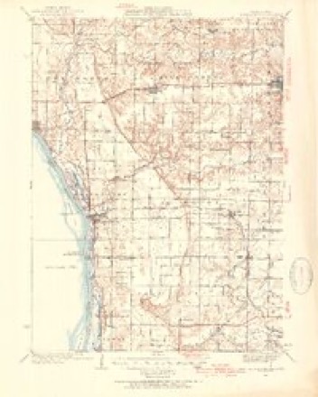
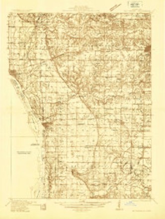
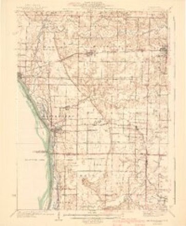
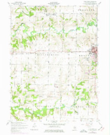
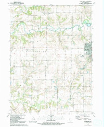
Topographic sheets covering this place
10 surveys from 15 printed sheetsMatched by testing this settlement's coordinate against the published boundary of every sheet in the United States Geological Survey's historical collection. Each opens the scanned sheet at the Survey.
- 1935 USGS Keithsburg quadrangle1:62500, 3 printings
- 1935 USGS Keithsburg quadrangle1:48000
- 1941 USGS Keithsburg quadrangle1:62500, 2 printings
- 1953 USGS Aledo West quadrangle1:24000, 2 printings
- 1958 USGS Davenport quadrangle1:250000, 2 printings
- 1961 USGS Davenport quadrangle1:250000
- 1962 USGS Davenport quadrangle1:250000
- 1984 USGS Aledo quadrangle1:100000
- 1989 USGS Aledo quadrangle1:100000
- 1992 USGS Aledo West quadrangle1:24000





In the county-history sources
3,896 words on this townshipPast and Present of Mercer County, Illinois, published 1914 names this settlement in its chapter on Millersburg Township. These are the passages that mention it, exactly as the scans read.
Millersburg Township is divided into two nearly equal geographical divisions by Edwards River. Until suitable bridges were built across this stream the people of the two divisions were isolated and scarcely knew each other. However, as soon as bridges were built the township was a unit in growth and development. In 1872 upon petition of the inhabitants it was divided into two election precincts, the river being the separating line. This did not continue long, because the following year bridges having been built, the precincts were united into one. In the fall of 1834 settlements were made in both divisions of the township. The first farmers to locate south of the river were Edward Willette, Harrison Riggs and Ebenezer Creswell. Riggs located on section 30 and put up the first log cabin in the township. Creswell located on section 21 and built a sawmill during 1834-5. If was on Camp Creek and was the first mill in the township and one of the first in the county. Willette located on the same section as Creswell. Other early settlers in the south division were Thomas Riggs in 1836; Rice Peckingbaugh, 1840; Charles Griffith, 1836; Isaac Burson, 1837; W. Hubbard, 1836; Edward Brady, Sr., 1842; John T. McGinnis, 1846; Richard and John S. Kiddoo, 1845; William Kiddoo, 1847; John and Edward Brady, 1842; Peter Spangler, Thomas Jackson and others, about 1840. Bv the earlv '40s the settlement south of the river was general and schools had been started and religious societies formed. The first settler in the north division was Benijah Lloyd, who located on section 5 in 1834. Two years afterward the Miller brothers located at what became known as Millersburg. They had previously settled elsewhere in 1834.
Passage source: Past and Present of Mercer County, Illinois, published 1914.
Among the first settlers at Millersburg were H. W. Thornton, 1836; James Thompson, 1838; Christian Routzong, 1838; Erastus, William and Joseph Denison, about 1839; Judge E. Gilmore, about 1838; the latter at a later day located south of the river. These persons located either in the village of Millersburg or within a short distance therefrom. I. M. Gilmore located east of the village about 1840; L. B. Howe, Thomas Brighton, Elbridge Howe, W. A. Bridg- ford and his son, O A. Bridgford, all arrived in the early '40s. William Kline came early in the ^os, and his brother, Christian Kline, about the same time. The former was a skilful hunter. Among the settlers of the township at a later day were the following: Dr. Joseph Boyd, Albert P. Taylor, the Felton family, of whom Herschel was one; Jacob Whorton, who had four sons and several daughters; Samuel and Alexander Carnahan, Robert Shearer, Thomas Greer, John Duff, Rev. Stephen T. Stratton, James H. Crane, George Scott, James Shingledecker, James and Cliff Haverfield, John Love and his son William, Andrew Downing and his son, William W. ; Absalom Volentine and his sons, James, Wesley and William; the Morrow and Close families, James M. Burgess, John Downing, Sr. and Jr., a Frenchman named Ritter, who was a skilful musician; Jacob Braucht and his sons, William and George; Alexander Green, who built a mill on Edwards River south of Millersburg; Mordecai Marsh, the father of the scientist, William A. Marsh; Charles Wakeland, who had five sons, and William Green.
Passage source: Past and Present of Mercer County, Illinois, published 1914.
Beginning in 1835 roads were laid out and built as rapidly as the funds warranted. The first elections were held in the schoolhouse near Edward Brady's corner and later at the Village of Millersburg. In 1 879 the permanent place of holding elections was fixed at Brady's Corner and a town hall for public purposes was built over the schoolhouse there at a cost of $387, a portion of which was raised by private subscription upon condition that entertainments of various kinds could be held in the hall. In 1868 the township by a vote of 114 to 27 decided to pay $13,400 to the American Central Railroad Company. The bonds were issued the next year. In 1870 the township was called upon to vote on the question of aiding the Rockford, Rock Island & St. Louis Railroad Company, but decided against it by a vote of 107 for and 126 against. A little later another attempt was made with the same object in view, there being cast 106 votes for taxation and 117 against it.
Passage source: Past and Present of Mercer County, Illinois, published 1914.
Machine-read from a century-old scan, so expect the errors a machine makes: misspelled names, dropped words, stray characters.
Read the whole chapter on Millersburg Township - it names this place 8 more 8 times.
Mines and quarries near this place
1 within 5 milesRegional context, not property-specific evidence. The federal mineral resources record lists 1 working within 5 miles of Millersburg: 1 past producer. None of them still produces. What was taken out: Stone. Distance is straight-line from the map coordinates, so a quarry counted here may appear on a neighbouring settlement's page as well.
| Where | Site | Commodity | Status | Recorded |
|---|---|---|---|---|
| Mercer County Pit | Stone | Past Producer |
Storms near this place
3 since 2003Regional context, not property-specific evidence. The National Weather Service names Millersburg in 3 storm reports between 2003 and 2023: 2 thunderstorm wind, 1 tornado. No death or injury is recorded in these reports. Each account below is quoted exactly as the forecast office filed it, from the NOAA Storm Events Database, and each date opens the federal record of that event.
| When | Event | Place named | Harm | What the report says |
|---|---|---|---|---|
| May 2003 | Tornado (F0) | Millersburg | $100,000 | no account filed |
| April 2006 | Thunderstorm Wind | Millersburg | $50,000 | Roof off a barn with damage to the siding. Paint was stripped from the house with damage done to the garage. |
| March 2023 | Thunderstorm Wind | Millersburg | - | A trained spotter reported limbs down. They estimated the winds up to 70 MPH. |
Nearest settlements
The eight closest, with where each one stands in the county. Distances are straight-line, computed from the Geographic Names Information System coordinates.
| Map | Place | Distance | Sheets |
|---|---|---|---|
| Joy | 4.5 miles | 15 | |
| Sugar Grove | 4.6 miles | 12 | |
| Gingle Corners | 4.6 miles | 18 | |
| Marston | 4.6 miles | 14 | |
| Aledo | 4.7 miles | 12 | |
| Hamlet | 6.7 miles | 18 | |
| Petersville | 6.9 miles | 15 | |
| Mannon | 7.4 miles | 15 |
Elsewhere
Matched on this settlement's Geographic Names Information System number rather than its name, so it cannot be a different place of the same name in another state.
| Wikipedia article on Millersburg | An encyclopaedic summary. Its text is share-alike, so it is linked here rather than copied. |
| Wikidata item Q6859367 | The structured record the population and elevation above come from. Public domain (CC0). |
Provenance
This settlement is recorded in the Geographic Names Information System as feature 413608. The sheet list is computed by point-in-boundary test against the United States Geological Survey's historical topographic inventory. Both are works of the United States government and carry no copyright under 17 U.S.C. 105.
Mines and quarries. USGS Mineral Resources Data System (MRDS) https://mrdata.usgs.gov/mrds/ A work of the United States government, no copyright under 17 U.S.C. 105.
Storms. NOAA National Centers for Environmental Information, Storm Events Database https://www.ncei.noaa.gov/stormevents/ A work of the United States government, no copyright under 17 U.S.C. 105. Narratives are quoted verbatim from the National Weather Service report and are not edited or summarised.