 Block
Ulah, Illinois
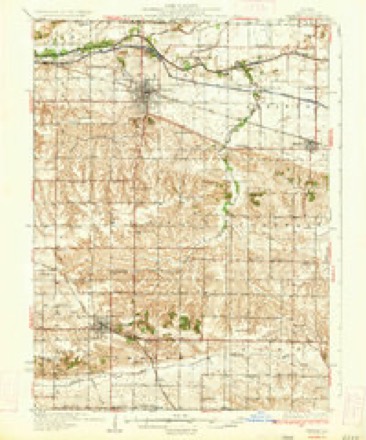
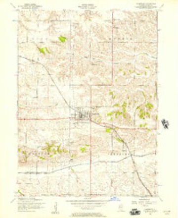
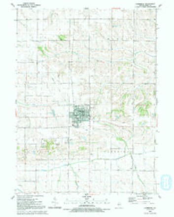
11 topographic sheets cover this place, the earliest surveyed in 1934 and the latest in 1991. It stands in Cambridge Township. It lies in ZIP code area 61238. The Survey maps it on the Cambridge quadrangle.
Topographic sheets covering this place
8 surveys from 11 printed sheetsMatched by testing this settlement's coordinate against the published boundary of every sheet in the United States Geological Survey's historical collection. Each opens the scanned sheet at the Survey.
- 1934 USGS Geneseo quadrangle1:62500, 2 printings
- 1953 USGS Cambridge quadrangle1:24000, 2 printings
- 1958 USGS Davenport quadrangle1:250000, 2 printings
- 1961 USGS Davenport quadrangle1:250000
- 1962 USGS Davenport quadrangle1:250000
- 1984 USGS Aledo quadrangle1:100000
- 1989 USGS Aledo quadrangle1:100000
- 1991 USGS Cambridge quadrangle1:24000





What happened here
An account from the chapter on Cambridge township. The inset identifies its exact source book and publication year.
Bank Robbery
The good people of the county, more especially oi Kewanee, were, in the latter part of August, 1882, startled by the news that the First National Bank of Kewanee had been robbed in broad daylight. Two armed men had entered the bank, just after the close of business hours, and, by violence overcoming the only two employees in the room at the time, had carried off the money, first throwing these two persons - the assistant cashier, Mr.
In the county-history sources
40,471 words on this townshipHistory of Henry County, Illinois : It's Taxpayers and Voters; Containing Also, a Biographical Directory, a Condensed History of the State; Map of the County; a Business Directory...etc, published 1877 names this settlement in its chapter on Cambridge Township. These are the passages that mention it, exactly as the scans read.
ATKINSON JAMES, Farmer, Sec. 23, P.O. Ulah; born in County Derry, Ireland, May 19. 1836; Rep; Pres; owns So acres land, value $4,000; lived in Ireland nineteen years; came to this country 1855; lived in Philadelphia five years; came to Kewanee, Henry Co. in 1861, lived there fifteen years; worked nine years and four months for Mr. Willard, Nurseryman; has held office Roadmaster; married Miss Nancy McAdoo Feb. 3, 1858; she was born County Donegal, Ireland; have eight children, six girls, two boys; lost one daughter.
Passage source: History of Henry County, Illinois : It's Taxpayers and Voters; Containing Also, a Biographical Directory, a Condensed History of the State; Map of the County; a Business Directory...etc, published 1877.
BOWEN WILLIAM, Farmer, Sec, 22, P.O. Ulah; born in Philadelphia, Pa. Oct. 28, 1824; Ind; Meth; owns 160 acres land, value $9,600; lived in Philadelphia about thirty years; removed to Kewanee, Henry Co. in 1854; was in the army, Co. G, U2th Reg. 111. Infantry; acted as Hospital Steward; served three years and honorably discharged; has held office Justice Peace for eight years and School Director many years. Is engaged in Grain and Lumber business, and is Freight and Ticket Agent P. & R. I. R. R. at this place; married Caroline Starkey, of Philadelphia, 1848; she died 1861; married Mrs. Mary E. Appleman, of Columbia Co. Pa. Aug. 12, 1862; have seven children, five sons, two daughters.
Passage source: History of Henry County, Illinois : It's Taxpayers and Voters; Containing Also, a Biographical Directory, a Condensed History of the State; Map of the County; a Business Directory...etc, published 1877.
BRINKHOFF D. Farmer, Sec. 24, P.O. Ulah; born Hanover, Germany, Sept. 18, 1826; Ind; Luth; owns 400 acres land, 240 acres in town of Cambridge, 160 acres in town of Burns, value $24,000; lived in Germany about twenty years, and came to this country in 1846; lived in New York State two years; went to California in 1849; came to this state and county in 1855, and has lived here twenty-one years; he has held office School Director; married Miss Sarah Jane Stackhouse in Dec. 1855; she was from New York State; they have five children, one son and four daughters; lost one son.
Passage source: History of Henry County, Illinois : It's Taxpayers and Voters; Containing Also, a Biographical Directory, a Condensed History of the State; Map of the County; a Business Directory...etc, published 1877.
Machine-read from a century-old scan, so expect the errors a machine makes: misspelled names, dropped words, stray characters.
Read the whole chapter on Cambridge Township - it names this place 31 more 31 times.
Fires near this place
2 since 2008Regional context, not property-specific evidence. The federal wildfire occurrence database lists 2 fires within 5 miles of Ulah in 2008, burning under an acre in total. None started naturally. None was recorded as arson. Distance is straight-line from the map coordinates, so a fire counted here may appear on a neighbouring settlement's page as well.
| Reported cause | Fires |
|---|---|
| Missing data/not specified/undetermined | 1 |
| Equipment and vehicle use | 1 |
The most recent of them, most recent first, with the day each was reported and the service that recorded it.
| Date | Cause | Size | Reported by | Name on the report |
|---|---|---|---|---|
| 7 May 2008 | Equipment and vehicle use | under an acre | Illinois Division of Forestry Resources | VINCIENT |
| 5 April 2008 | Missing data/not specified/undetermined | under an acre | Illinois Division of Forestry Resources | STACH |
Settlements close enough to share some of these fires:
Mines and quarries near this place
1 within 5 milesRegional context, not property-specific evidence. The federal mineral resources record lists 1 working within 5 miles of Ulah: 1 past producer. None of them still produces. What was taken out: Stone. Distance is straight-line from the map coordinates, so a quarry counted here may appear on a neighbouring settlement's page as well.
| Where | Site | Commodity | Status | Recorded |
|---|---|---|---|---|
| Henry City Pit | Stone | Past Producer |
Storms near this place
5 since 2011Regional context, not property-specific evidence. The National Weather Service names Ulah in 5 storm reports between 2011 and 2018: 4 flash flood, 1 hail. No death or injury is recorded in these reports. Each account below is quoted exactly as the forecast office filed it, from the NOAA Storm Events Database, and each date opens the federal record of that event.
| When | Event | Place named | Harm | What the report says |
|---|---|---|---|---|
| July 2018 | Flash Flood | Ulah | $10,000 | Local law enforcement reported one lane was washed out on North 570th Avenue between 1400 and 1550th Street. |
| July 2018 | Flash Flood | Ulah | $10,000 | Local law enforcement reported one lane was washed out on North 570th Avenue between 1400 and 1550th Street. |
| June 2018 | Flash Flood | Ulah | - | Flash flooding closed several roads in Cambridge, including the west side of town near the high school. To the east, at the Highway 81 and 82 intersection, the road was closed due to high water. The Emergency Operations Center had about one foot of water in the basement. |
| May 2011 | Flash Flood | Ulah | - | Heavy rain resulted in some flash flooding in and around the Galva, Bishop Hill, and Kewanee areas during the afternoon and evening of May 25. The flood waters on some of the country roads were a foot and a half deep in places. |
| March 2017 | Hail | Ulah | - | no account filed |
Nearest settlements
The eight closest, with where each one stands in the county. Distances are straight-line, computed from the Geographic Names Information System coordinates.
| Map | Place | Distance | Sheets |
|---|---|---|---|
| Cambridge | 3.4 miles | 11 | |
| Bishop Hill | 4.9 miles | 14 | |
| German Corner | 6.3 miles | 11 | |
| Nekoma | 7.0 miles | 14 | |
| Andover | 7.9 miles | 11 | |
| Galva | 8.9 miles | 14 | |
| Osco | 8.9 miles | 11 | |
| Woodhull | 10.9 miles | 11 |
Provenance
This settlement is recorded in the Geographic Names Information System as feature 420006. The sheet list is computed by point-in-boundary test against the United States Geological Survey's historical topographic inventory. Both are works of the United States government and carry no copyright under 17 U.S.C. 105.
Wildfire. Short, Karen C. 2022. Spatial wildfire occurrence data for the United States, 1992-2020 [FPA_FOD_20221014]. 6th Edition. Fort Collins, CO: Forest Service Research Data Archive. https://doi.org/10.2737/RDS-2013-0009.6 Collected with United States Government funding and usable without additional permissions or fees.
Mines and quarries. USGS Mineral Resources Data System (MRDS) https://mrdata.usgs.gov/mrds/ A work of the United States government, no copyright under 17 U.S.C. 105.
Storms. NOAA National Centers for Environmental Information, Storm Events Database https://www.ncei.noaa.gov/stormevents/ A work of the United States government, no copyright under 17 U.S.C. 105. Narratives are quoted verbatim from the National Weather Service report and are not edited or summarised.