 Block
Waddams Grove, Illinois
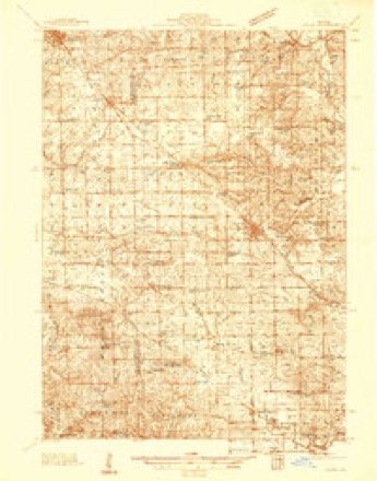
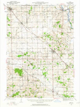
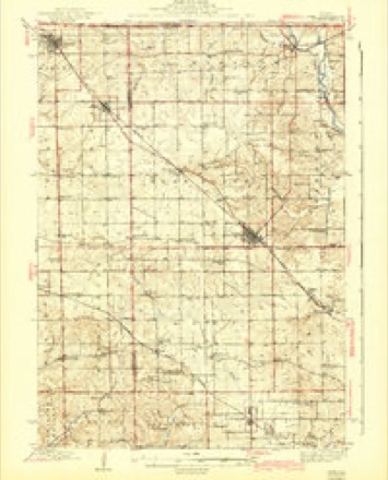
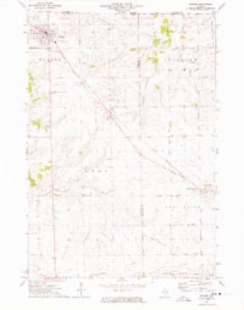
14 topographic sheets cover this place, the earliest surveyed in 1937 and the latest in 1981. It stands in West Point Township. It lies in ZIP code area 61048. The Survey maps it on the Warren quadrangle.
Topographic sheets covering this place
9 surveys from 14 printed sheetsMatched by testing this settlement's coordinate against the published boundary of every sheet in the United States Geological Survey's historical collection. Each opens the scanned sheet at the Survey.
- 1937 USGS Lena quadrangle1:48000
- 1942 USGS Lena quadrangle1:62500
- 1943 USGS Lena quadrangle1:62500, 2 printings
- 1954 USGS Rockford quadrangle1:250000
- 1955 USGS Rockford quadrangle1:250000
- 1958 USGS Rockford quadrangle1:250000, 4 printings
- 1963 USGS Rockford quadrangle1:250000
- 1971 USGS Warren quadrangle1:24000
- 1981 USGS Rockford quadrangle1:100000, 2 printings





In the county-history sources
11,776 words on this townshipThe History of Stephenson County, Illinois : Containing ... Biographical Sketches ... War Record ... Statistics ... Portraits of Early Settlers ... History of the Northwest, History of Illinois, &c. .., published 1880 names this settlement in its chapter on West Point Township. These are the passages that mention it, exactly as the scans read.
JACOB ACKER, farmer; P.O. Lena; born Sept. 28, 1814, in Mifflin Co., Penn.; he learned the carpenter trade in Union Co., Penn., following the business until 1843, when he came to Stephenson Co. ; he has followed farming and the carpenter's trade since coming to this county ; he now owns 65 acres ; part of this land is inside the corporation, and he owns other town property ; he has been Justice of the Peace and County Superintendent ; he was Postmaster in Lowell, Jefferson Township ; he also was School Treasurer and Director. Married Amelia Himes in 1839 ; she was born in Union Co., Penn., in 1818; they had nine children, six living - George H., Mary E., Kate, Margaret A., Jane and Viola F. ; George H. enlisted in 1861, in the 92d T. V. I.; served about one year, and was discharged on account of sickness.
Passage source: The History of Stephenson County, Illinois : Containing ... Biographical Sketches ... War Record ... Statistics ... Portraits of Early Settlers ... History of the Northwest, History of Illinois, &c. .., published 1880.
Dr. W, W. KERIilN, physician and surgeon ; P. 0. Waddams Grove ; born April 9, 1839, in Northumberland Co., Penn. ; at about the age of 19 years he commenced studying medicine with Dr. P. R. Weggenseller ; he graduated in Philadelphia in 1855, from the Pennsylvania Medical College; since then he has been in constant practice; in 1867, he came to his present locality; he owns a farm of 160 acres. Married Miss A. E. Smith, in 1856 ; she was born in Snyder Co., Penn. ; they have two children - George B. and Anna. He enlisted in the 61st Penn. V. I. ; bad charge of a battalion ; afterward appointed Assistant Surgeon ; was at the battle of Richmond and others.
Passage source: The History of Stephenson County, Illinois : Containing ... Biographical Sketches ... War Record ... Statistics ... Portraits of Early Settlers ... History of the Northwest, History of Illinois, &c. .., published 1880.
J. H. OZBURN, agent I. C. R. R. and American Express Co. and Postmaster, Waddams Grove; born Dec. 3, 1828, in Huntington Co., Penn.; in 1857 he came to Davenport, Iowa; in 1858, to Pontiac, 111. ; in 1859, he came to Stephenson Co. and engaged in farming till 1869; in 1871, he started merchandising in Waddams Grove, and continued till 1878; he was appointed to his present position in 1875 ; was appointed Postmaster in 1872 ; he built the brick store in Lena, now occupied by John Metz. He married Miss Elizabeth Stem in 1856; she was born in Pennsylvania; they have five children - Mary J., Sada J., John T., Maud H. and Nellie. Presbyterians in religion ; Democratic in politics.
Passage source: The History of Stephenson County, Illinois : Containing ... Biographical Sketches ... War Record ... Statistics ... Portraits of Early Settlers ... History of the Northwest, History of Illinois, &c. .., published 1880.
Machine-read from a century-old scan, so expect the errors a machine makes: misspelled names, dropped words, stray characters.
Read the whole chapter on West Point Township - it names this place 8 more 8 times.
Fires near this place
7 since 2004Regional context, not property-specific evidence. The federal wildfire occurrence database lists 7 fires within 5 miles of Waddams Grove between 2004 and 2009, burning about 105 acres in total. None started naturally. 1 was recorded as arson. Distance is straight-line from the map coordinates, so a fire counted here may appear on a neighbouring settlement's page as well.
| Reported cause | Fires |
|---|---|
| Recreation and ceremony | 4 |
| Debris and open burning | 1 |
| Arson/incendiarism | 1 |
| Equipment and vehicle use | 1 |
The most recent of them, most recent first, with the day each was reported and the service that recorded it.
| Date | Cause | Size | Reported by | Name on the report |
|---|---|---|---|---|
| 7 April 2004 | Recreation and ceremony | 20 acres | Illinois State Fire Marshal's Office | not named |
| 5 April 2004 | Recreation and ceremony | 12 acres | Illinois State Fire Marshal's Office | not named |
| 17 April 2008 | Debris and open burning | under an acre | Illinois Division of Forestry Resources | 8010 |
| 17 April 2004 | Recreation and ceremony | 2.0 acres | Illinois State Fire Marshal's Office | not named |
| 10 April 2004 | Arson/incendiarism | 60 acres | Illinois State Fire Marshal's Office | not named |
| 1 April 2004 | Recreation and ceremony | 10 acres | Illinois State Fire Marshal's Office | not named |
| 13 November 2009 | Equipment and vehicle use | 1.0 acres | Illinois Division of Forestry Resources | WULFEKUHLE |
Settlements close enough to share some of these fires:
Mines and quarries near this place
9 within 5 milesRegional context, not property-specific evidence. The federal mineral resources record lists 9 workings within 5 miles of Waddams Grove: 7 past producers, 2 producers. 2 still produce. What was taken out: Stone, Crushed/Broken, Sand and Gravel, Construction. Distance is straight-line from the map coordinates, so a quarry counted here may appear on a neighbouring settlement's page as well.
| Where | Site | Commodity | Status | Recorded |
|---|---|---|---|---|
| Kent Gravel Pit | Sand and Gravel, Construction | Producer | ||
| Lena Quarry | Stone, Crushed/Broken | Past Producer | ||
| Mark Quarry | Stone, Crushed/Broken | Past Producer | ||
| R. E. Cox Quarry | Stone, Crushed/Broken | Producer | ||
| Stich Quarry | Stone, Crushed/Broken | Past Producer | ||
| Unnamed Limestone Quarry | Stone, Crushed/Broken | Past Producer | ||
| Unnamed Limestone Quarry | Stone, Crushed/Broken | Past Producer | ||
| V.H. Stitch Quarry | Stone, Crushed/Broken | Past Producer | ||
| Walters Quarry | Stone, Crushed/Broken | Past Producer |
Storms near this place
11 since 2008Regional context, not property-specific evidence. The National Weather Service names Waddams Grove in 11 storm reports between 2008 and 2024: 5 flash flood, 4 thunderstorm wind, 1 hail, 1 tornado. No death or injury is recorded in these reports. Each account below is quoted exactly as the forecast office filed it, from the NOAA Storm Events Database, and each date opens the federal record of that event.
| When | Event | Place named | Harm | What the report says |
|---|---|---|---|---|
| July 2010 | Flash Flood | Waddams Grove | $1,000,000 | Heavy rains of 2.5 to 6 inches fell across Stephenson County the evening hours of July 22 and through the morning of July 23 resulting in flash flooding of much of the county. At 1248 am CDT, Freeport was flooded with about 10 inches of water in the streets. Several roads were completely covered with water, especially in the vicinity of the Taylor Park District and near Route 75. The flood waters came up to the middle of car tires. Just before 130 am CDT, WREX TV relayed a report from a Freeport viewer that there was standing water everywhere. At 405 am CDT, several homes in Pearl City were flooded. Some of the residences on the north side of town had flood waters up to the first floor level. In addition, the city's sewer system was overwhelmed with the flood waters blowing some manhole covers off. Route 73 near Pearl City was closed due to 8 inches of water flowing across the road, and Yellow Creek began flooding some nearby homes. Highway 26 just south of Freeport was also closed due to flooding. Trained spotters, CO-OP observers, the general public, WREX TV, and emergency management all contributed to this report. |
| July 2011 | Flash Flood | Waddams Grove | $500,000 | Torrential rains of 3 to 8 inches caused some flash flooding across parts of Stephenson County during the evening of July 27 and morning of July 28. There were reports of cattle scattered through county by flood waters with some washed downstream. The flood waters were several feet deep in the town of Pearl City. Two people died just west of Freeport, IL from carbon monoxide fumes from a generator use to pump water from a flooded basement. |
| July 2024 | Tornado (EFU) | Waddams Grove | - | A tornado developed northwest of Stockton in Jo Daviess County, and moved E/SE along an intermittent 15 mile path, before lifting near Lena in Stephenson County. In Jo Daviess County, the tornado snapped a wooden power pole near the base, snapped tree trunks, and impacted a farmstead, with damage to an outbuilding and grain elevator supports. The most significant damage in Jo Daviess County was rated EF-2, with maximum winds around 115 mph. The tornado crossed into Stephenson County about a third of a mile south of W. Gerbick Road, around 18:01 CST. A public photo showed the tornado near Lena before it dissipated around 18:09 CST. There was no observable damage in Stephenson County. |
| August 2022 | Flash Flood | Waddams Grove | - | Public reports of flooding a the intersection of Baker Road and Galena Road. Report received via social media but flooding likely began earlier. |
| June 2015 | Flash Flood | Waddams Grove | - | Water was over the road at the intersection of Galena Road and Waddams Grove Road. |
| July 2012 | Thunderstorm Wind | Waddams Grove | - | The emergency manager reported several 4 inch diameter branches down across the road at Crossroads of Stagecoach Road near Waddams Grove. |
| June 2011 | Thunderstorm Wind | Waddams Grove | - | A 62 mph wind gust was recorded about 5 miles northwest of Lena, IL at 931 pm CDT June 8. |
| May 2010 | Flash Flood | Waddams Grove | - | Heavy rains in the vicinity of Lena, IL and northward resulted in flash flooding of several creeks, streams, ditches and streets during the evening of May 26. |
| June 2008 | Thunderstorm Wind | Waddams Grove | - | Winds estimated to be 65 mph blew down numerous large trees along Stagecoach Trail (W Galena Road) near Waddams Grove, IL at 8:35 pm June 8. |
| June 2008 | Thunderstorm Wind | Waddams Grove | - | Winds estimated to be 65 mph blew down numerous trees throughout Stephenson County, IL around 8:35 pm June 8. |
| May 2008 | Hail | Waddams Grove | - | Nickel-sized hail fell about 4 miles west of Lena, IL around 9:57 pm. |
Nearest settlements
The eight closest, with where each one stands in the county. Distances are straight-line, computed from the Geographic Names Information System coordinates.
Provenance
This settlement is recorded in the Geographic Names Information System as feature 420355. The sheet list is computed by point-in-boundary test against the United States Geological Survey's historical topographic inventory. Both are works of the United States government and carry no copyright under 17 U.S.C. 105.
Wildfire. Short, Karen C. 2022. Spatial wildfire occurrence data for the United States, 1992-2020 [FPA_FOD_20221014]. 6th Edition. Fort Collins, CO: Forest Service Research Data Archive. https://doi.org/10.2737/RDS-2013-0009.6 Collected with United States Government funding and usable without additional permissions or fees.
Mines and quarries. USGS Mineral Resources Data System (MRDS) https://mrdata.usgs.gov/mrds/ A work of the United States government, no copyright under 17 U.S.C. 105.
Storms. NOAA National Centers for Environmental Information, Storm Events Database https://www.ncei.noaa.gov/stormevents/ A work of the United States government, no copyright under 17 U.S.C. 105. Narratives are quoted verbatim from the National Weather Service report and are not edited or summarised.