 Block
Winslow, Illinois
15 topographic sheets cover this place, the earliest surveyed in 1937 and the latest in 1981. It stands in Winslow Township. It lies in ZIP code area 61089. It stands on Indian Creek. The Survey maps it on the Lena quadrangle. 281 people lived here at the 2020 count. It stands 774 feet above sea level.
Population over time
2 figuresWinslow fell from 338 to 281 between 2010 and 2020. These are the recorded population figures Wikidata holds for this place, reached through the Geographic Names Information System number this page is keyed on rather than by name, so they belong to this place and not to another of the same name. Most are census counts, but not all are: an early figure may be a founding or settlement estimate, and an estimate published within five years of a census is left out. The change column is computed, and is left blank where more than 20 years separate a figure from the one before it, because a gap that long is not a change between two counts.
| Year | People | Change |
|---|---|---|
| 2010 | 338 | |
| 2020 | 281 | -57 (-17%) |
Topographic sheets covering this place
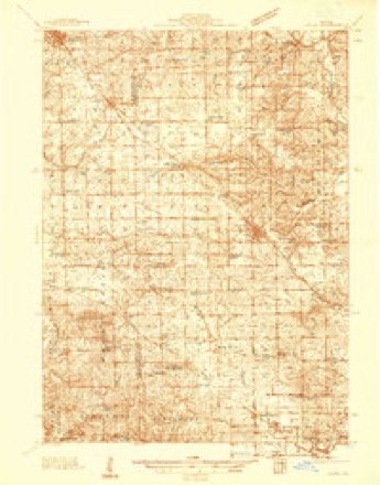
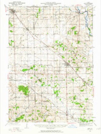
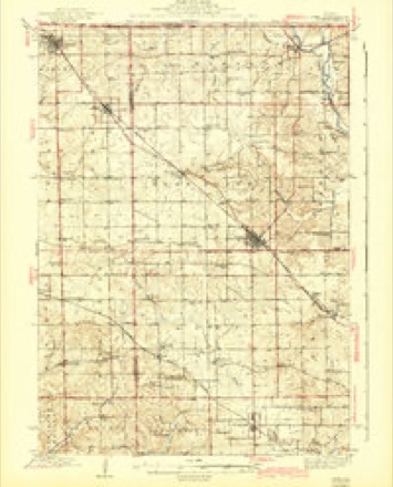
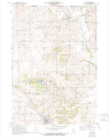
9 surveys from 15 printed sheetsMatched by testing this settlement's coordinate against the published boundary of every sheet in the United States Geological Survey's historical collection. Each opens the scanned sheet at the Survey.
- 1937 USGS Lena quadrangle1:48000
- 1942 USGS Lena quadrangle1:62500
- 1943 USGS Lena quadrangle1:62500, 2 printings
- 1954 USGS Rockford quadrangle1:250000
- 1955 USGS Rockford quadrangle1:250000
- 1958 USGS Rockford quadrangle1:250000, 4 printings
- 1963 USGS Rockford quadrangle1:250000
- 1971 USGS Lena quadrangle1:24000, 2 printings
- 1981 USGS Rockford quadrangle1:100000, 2 printings





In the county-history sources
10,100 words on this townshipThe History of Stephenson County, Illinois : Containing ... Biographical Sketches ... War Record ... Statistics ... Portraits of Early Settlers ... History of the Northwest, History of Illinois, &c. .., published 1880 names this settlement in its chapter on Winslow Township. These are the passages that mention it, exactly as the scans read.
Full fifty years ago, Lyman Brewster, a wealthy landowner, who had emigrated from Vermont to Tennessee, where he acquired a competency, turned his face North, and halted not until he reached the settlement then making at Peru, on the Illinois River. How long he tarried here, is not of record ; but, in the spring of 1833, he continued his prospecting tour, finally reaching the present site of Winslow, in Winslow Township, where he entered a claim, erected a comfortable house, cleared 80 acres of ground, and established " Brewster's Ferry," the first ferry in the county, and for many years the only one accessible to emigrants in crossing the Pecatonica River. Mr. Brewster was the first white man who ever made a claim in Winslow Township, and after a brief stay, by which time others had followed in his venturesome footsteps, he rented the ferry and adjoining property to William Robey, and returned to Peru, where he died.
Passage source: The History of Stephenson County, Illinois : Containing ... Biographical Sketches ... War Record ... Statistics ... Portraits of Early Settlers ... History of the Northwest, History of Illinois, &c. .., published 1880.
Among those who made their adventurous way into the township the same year that witnessed the advent of Mr. Brewster, were' Joe Abenos and A. C. Ransom, the latter going back East for his family, after surveying the outlook, and returning the following spring. Abenos assisted Mr. Brewster in the management of the ferry, while Ransom settled in Section 36, a mile and a half southeast of the village of Winslow, where he entered a claim and laid off the town of Ransomburg. But the town did not prosper as was anticipated, Winslow appropriating the new-comers because of its more favorable site, and Ransomburg in time was utilized for farming purposes, Robert Pilson now residing and farming within its original metes and bounds.
Passage source: The History of Stephenson County, Illinois : Containing ... Biographical Sketches ... War Record ... Statistics ... Portraits of Early Settlers ... History of the Northwest, History of Illinois, &c. .., published 1880.
The advance thus made by the brave pioneers, and the struggle they encountered in contending for the permanent establishment of the cause of civilization in this uninhabited wilderness, was not without results in paving the way for the rise and progress of this portion of the county through the influence of the immigration that succeeded their coming.
Passage source: The History of Stephenson County, Illinois : Containing ... Biographical Sketches ... War Record ... Statistics ... Portraits of Early Settlers ... History of the Northwest, History of Illinois, &c. .., published 1880.
Machine-read from a century-old scan, so expect the errors a machine makes: misspelled names, dropped words, stray characters.
Read the whole chapter on Winslow Township - it names this place 38 more 38 times.
Fires near this place
4 since 2004Regional context, not property-specific evidence. The federal wildfire occurrence database lists 4 fires within 5 miles of Winslow between 2004 and 2018, burning about 110 acres in total. None started naturally. None was recorded as arson. Distance is straight-line from the map coordinates, so a fire counted here may appear on a neighbouring settlement's page as well.
| Reported cause | Fires |
|---|---|
| Debris and open burning | 2 |
| Recreation and ceremony | 1 |
| Missing data/not specified/undetermined | 1 |
The most recent of them, most recent first, with the day each was reported and the service that recorded it.
| Date | Cause | Size | Reported by | Name on the report |
|---|---|---|---|---|
| 5 April 2004 | Recreation and ceremony | 100 acres | Illinois State Fire Marshal's Office | not named |
| 27 April 2018 | Debris and open burning | under an acre | Wisconsin Department of Natural Resources | 442018 |
| 3 March 2018 | Debris and open burning | 2.0 acres | Wisconsin Department of Natural Resources | 262018 |
| 15 March 2018 | Missing data/not specified/undetermined | 8.0 acres | Wisconsin Department of Natural Resources | 282018 |
Settlements close enough to share some of these fires:
Mines and quarries near this place
5 within 5 milesRegional context, not property-specific evidence. The federal mineral resources record lists 5 workings within 5 miles of Winslow: 3 past producers, 2 producers. 2 still produce. What was taken out: Stone, Crushed/Broken. Distance is straight-line from the map coordinates, so a quarry counted here may appear on a neighbouring settlement's page as well.
| Where | Site | Commodity | Status | Recorded |
|---|---|---|---|---|
| Devoe Quarry | Stone, Crushed/Broken | Producer | ||
| Fritsch Quarry | Stone, Crushed/Broken | Producer | ||
| Stites Quarry | Stone, Crushed/Broken | Past Producer | ||
| Unnamed Limestone Quarry | Stone, Crushed/Broken | Past Producer | ||
| Unnamed Limestone Quarry | Stone, Crushed/Broken | Past Producer |
Storms near this place
17 since 2000Regional context, not property-specific evidence. The National Weather Service names Winslow in 17 storm reports between 2000 and 2025: 7 hail, 6 thunderstorm wind, 3 flood, 1 flash flood. The reports record 1 injury. Each account below is quoted exactly as the forecast office filed it, from the NOAA Storm Events Database, and each date opens the federal record of that event.
| When | Event | Place named | Harm | What the report says |
|---|---|---|---|---|
| July 2008 | Thunderstorm Wind | Winslow | 1 hurt, $25,000 | Wind gusts estimated to be 70 mph blew down a pole barn on State Line Rd and Swiss Rd near Winslow, IL at 12:35 pm July 31. One person was injured with several fractures. |
| July 2017 | Flood | Winslow | $7,000,000 | Heavy rainfall of 3 to over 12 inches over significant areas from 20 to 22 July in southern Wisconsin and Northern Illinois moved downstream causing the Rock River to rise well above major flood stage levels just downstream of Freeport down to the Mississippi at Moline. ||Freeport rose just below major flood stage level of 16.0 feet on July 23rd, 2017 at approximately 645 AM CST. It crested around 15.9 feet at approximately 10 AM CST on July 23rd, 2017 and fell below 15.5 feet at approximately 815 PM CST on July 25th.||Widespread river flooding and flash flooding resulted in a preliminary estimation of 7 to 8 million dollars in damage. |
| July 2010 | Flood | Winslow | $500,000 | no account filed |
| June 2008 | Thunderstorm Wind | Winslow | $15,000 | Winds estimated to be 65 mph blew down several trees in Winslow, IL at 10:15 am June 8. The trees knocked down numerous power lines resulting in a power outage to part of Winslow. |
| April 2004 | Thunderstorm Wind | Winslow | $10,000 | no account filed |
| August 2025 | Hail | Winslow | - | Quarter size hail reported. |
| August 2025 | Hail | Winslow | - | Report initially from mPING. This report was corroborated with photographic evidence of a jagged hailstone around 3 to 3.5 inches in diameter. |
| February 2024 | Hail | Winslow | - | Time estimated from radar. |
| July 2020 | Thunderstorm Wind | Winslow | - | Trees and power lines were damaged, which knocked out power in the area. |
| September 2019 | Thunderstorm Wind | Winslow | - | A spotter reported tree limbs broken off due to the early morning storms. |
| February 2018 | Flood | Winslow | - | Emergency management reported widespread creek and Pecatonica River flooding beginning mid morning February 19th. This impacted the towns of Freeport, Pearl City, Winslow, and McConnell. Roads were covered in water, especially between Pearl City and Freeport. Homes and businesses were surrounded by water in many locations, with water in basements. There were 41 individuals and 10 animals rescued or evacuated from Freeport's 3rd ward. This overland flood event quickly evolved into a major river flood event for the Pecatonica River at Freeport, Illinois.||The Pecatonica River reached Major Flood level of 16 feet at 3 AM, February 25, and fell below Major Flood level at 11 AM, March 2nd. The Pecatonica River at Freeport crested at 16.12 feet, at 3 PM, February 25. |
| July 2018 | Thunderstorm Wind | Winslow | - | A trained spotter reported shingles were blown off buildings. |
| June 2017 | Flash Flood | Winslow | - | Portions of Mann Road were washed out. |
| October 2001 | Hail | Winslow | - | 0.75 inch hail reported by emergency manager. |
| October 2001 | Hail | Winslow | - | 1.00 inch hail reportey by emergency manager. |
| April 2023 | Hail | Winslow | - | no account filed |
| June 2000 | Hail | Winslow | - | no account filed |
Nearest settlements
The eight closest, with where each one stands in the county. Distances are straight-line, computed from the Geographic Names Information System coordinates.
| Map | Place | Distance | Sheets |
|---|---|---|---|
| McConnell | 5.1 miles | 13 | |
| Oneco | 6.8 miles | 13 | |
| Waddams Grove | 7.1 miles | 14 | |
| Buena Vista | 7.6 miles | 13 | |
| Lena | 8.0 miles | 15 | |
| Orangeville | 8.0 miles | 13 | |
| Buckhorn Corners | 9.4 miles | 13 | |
| Red Oak | 9.4 miles | 13 |
Elsewhere
Matched on this settlement's Geographic Names Information System number rather than its name, so it cannot be a different place of the same name in another state.
| Wikipedia article on Winslow | An encyclopaedic summary. Its text is share-alike, so it is linked here rather than copied. |
| Wikidata item Q1786794 | The structured record the population and elevation above come from. Public domain (CC0). |
Provenance
This settlement is recorded in the Geographic Names Information System as feature 421345. The sheet list is computed by point-in-boundary test against the United States Geological Survey's historical topographic inventory. Both are works of the United States government and carry no copyright under 17 U.S.C. 105.
Wildfire. Short, Karen C. 2022. Spatial wildfire occurrence data for the United States, 1992-2020 [FPA_FOD_20221014]. 6th Edition. Fort Collins, CO: Forest Service Research Data Archive. https://doi.org/10.2737/RDS-2013-0009.6 Collected with United States Government funding and usable without additional permissions or fees.
Mines and quarries. USGS Mineral Resources Data System (MRDS) https://mrdata.usgs.gov/mrds/ A work of the United States government, no copyright under 17 U.S.C. 105.
Storms. NOAA National Centers for Environmental Information, Storm Events Database https://www.ncei.noaa.gov/stormevents/ A work of the United States government, no copyright under 17 U.S.C. 105. Narratives are quoted verbatim from the National Weather Service report and are not edited or summarised.