 Block
Abington, Indiana
14 topographic sheets cover this place, the earliest surveyed in 1915 and the latest in 1986. It stands in Abington Township. It lies in ZIP code area 47330. It stands on Locust Creek. The Survey maps it on the Liberty quadrangle. It stands 830 feet above sea level.
Topographic sheets covering this place
7 surveys from 14 printed sheetsMatched by testing this settlement's coordinate against the published boundary of every sheet in the United States Geological Survey's historical collection. Each opens the scanned sheet at the Survey.
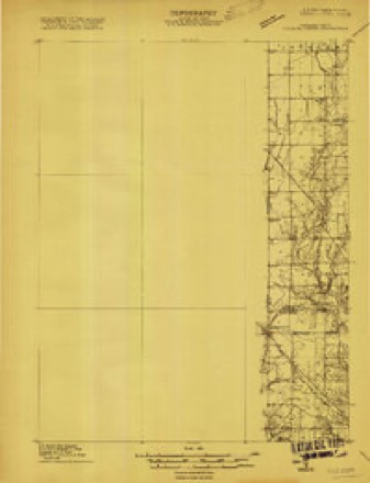
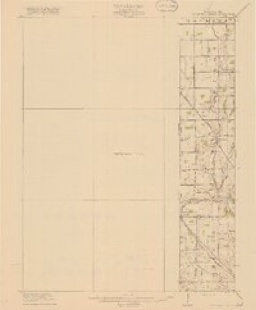
- 1915 USGS College Corner quadrangle1:48000
- 1918 USGS College Corner quadrangle1:62500, 4 printings
- 1953 USGS Cincinnati quadrangle1:250000, 3 printings
- 1957 USGS Cincinnati quadrangle1:250000
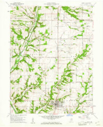
- 1960 USGS Liberty quadrangle1:24000
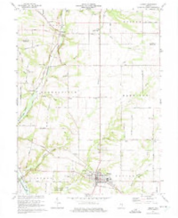
- 1974 USGS Liberty quadrangle1:24000, 2 printings
- 1986 USGS Dayton quadrangle1:100000, 2 printings


In the county-history sources
659 words on this townshipHistory of Wayne County, Indiana, from Its First Settlement to the Present Time : with Numerous Biographical and Family Sketches, published 1872; Memoirs of Wayne County and the City of Richmond Indiana, published 1912 names this settlement in its chapter on Abington Township. These are the passages that mention it, exactly as the scans read.
The first wagon-maker was John Gilbert ; the next, William Harp. The present ones are the four Green brothers, Thomas, Thaddeus, Daniel, and Charles. Present blacksmiths - Thomas Stevens, Caswell Hollar, and Moses Mitchell. Harnessmakers - Samuel and Erank^Lell. Carpenters - Andrew Hunt, Ferdinand and Harrison Weber. Shoemaker - Daniel Jennings.
Passage source: History of Wayne County, Indiana, from Its First Settlement to the Present Time : with Numerous Biographical and Family Sketches, published 1872.
The western and central parts of the township constitute good level or slightly rolling agricultural lands.. On the east, the east branch of the White Water river passes through it. This section is hilly, but the valley land is rich. The.township is touched by the Elkhorn branch, Butler creek, and a number of other smaller streams which give a necessary water supply.
Passage source: Memoirs of Wayne County and the City of Richmond Indiana, published 1912.
Among the early industries established was a carding machine, erected at the mouth of the Elkhorn by Richard Sedgwick and Smith Hunt. A carding and fulling mill was erected by John Brower, about 1824, and the first grist mill was erected on the east fork of White Water, a little below the mouth of the Elkhorn, in 1808.
Passage source: Memoirs of Wayne County and the City of Richmond Indiana, published 1912.
Machine-read from a century-old scan, so expect the errors a machine makes: misspelled names, dropped words, stray characters.
Read the whole chapter on Abington Township - it names this place 2 more 2 times.
Storms near this place
5 since 2007Regional context, not property-specific evidence. The National Weather Service names Abington in 5 storm reports between 2007 and 2025: 3 thunderstorm wind, 1 hail, 1 flash flood. No death or injury is recorded in these reports. Each account below is quoted exactly as the forecast office filed it, from the NOAA Storm Events Database, and each date opens the federal record of that event.
| When | Event | Place named | Harm | What the report says |
|---|---|---|---|---|
| July 2023 | Thunderstorm Wind | Abington | $10,000 | Several trees were downed in the Richmond and Abington areas. |
| July 2024 | Thunderstorm Wind | Abington | $5,000 | Several trees were downed. |
| July 2025 | Thunderstorm Wind | Abington | $2,000 | A tree was downed across a power line on Meek Road, just south of Centerville. |
| August 2007 | Hail | Abington | $2,000 | no account filed |
| June 2015 | Flash Flood | Abington | - | Water was over the road at the 5200 block of Abington Pike, which closed the road. High water signs were placed elsewhere throughout the county. |
Nearest settlements
The eight closest, with where each one stands in the county. Distances are straight-line, computed from the Geographic Names Information System coordinates.
| Map | Place | Distance | Sheets |
|---|---|---|---|
| Boston | 5.9 miles | 13 | |
| Centerville | 6.1 miles | 10 | |
| South Richmond | 6.1 miles | 10 | |
| Locust Grove | 6.4 miles | 12 | |
| Greenwood | 6.8 miles | 10 | |
| East Haven | 7.5 miles | 10 | |
| Pinhook | 7.6 miles | 9 | |
| Richmond | 7.7 miles | 10 |
Elsewhere
Matched on this settlement's Geographic Names Information System number rather than its name, so it cannot be a different place of the same name in another state.
| Wikipedia article on Abington | An encyclopaedic summary. Its text is share-alike, so it is linked here rather than copied. |
| Wikidata item Q4667855 | The structured record the population and elevation above come from. Public domain (CC0). |
Provenance
This settlement is recorded in the Geographic Names Information System as feature 429988. The sheet list is computed by point-in-boundary test against the United States Geological Survey's historical topographic inventory. Both are works of the United States government and carry no copyright under 17 U.S.C. 105.
Storms. NOAA National Centers for Environmental Information, Storm Events Database https://www.ncei.noaa.gov/stormevents/ A work of the United States government, no copyright under 17 U.S.C. 105. Narratives are quoted verbatim from the National Weather Service report and are not edited or summarised.