 Block
Amity, Indiana
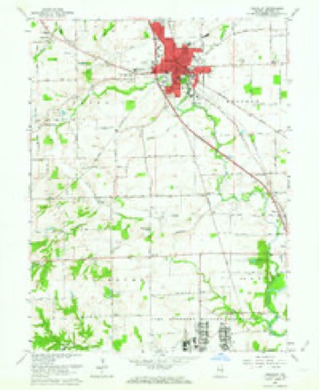
23 topographic sheets cover this place, the earliest surveyed in 1942 and the latest in 1986. It stands in Blue River Township. It lies in ZIP code area 46131. The Survey maps it on the Franklin quadrangle.
Topographic sheets covering this place
10 surveys from 23 printed sheetsMatched by testing this settlement's coordinate against the published boundary of every sheet in the United States Geological Survey's historical collection. Each opens the scanned sheet at the Survey.
- 1942 USGS Franklin quadrangle1:125000
- 1947 USGS Franklin quadrangle1:62500
- 1948 USGS Franklin quadrangle1:24000, 2 printings
- 1950 USGS Franklin quadrangle1:62500, 2 printings
- 1953 USGS Indianapolis quadrangle1:250000, 4 printings
- 1956 USGS Indianapolis quadrangle1:250000
- 1957 USGS Indianapolis quadrangle1:250000, 2 printings
- 1961 USGS Franklin quadrangle1:24000, 6 printings
- 1962 USGS Indianapolis quadrangle1:250000
- 1986 USGS Bloomington quadrangle1:100000, 3 printings
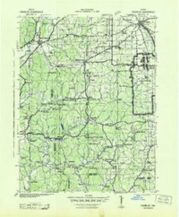
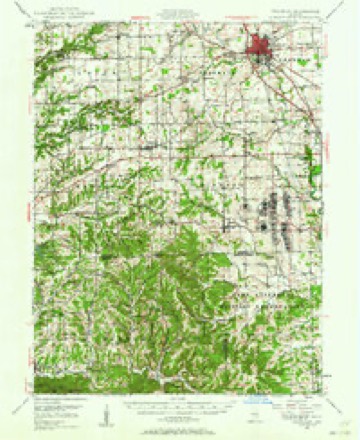
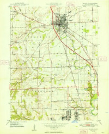
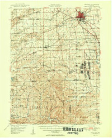





In the county-history sources
23,461 words on this townshipA Historical Sketch of Johnson County, Indiana, published 1881 names this settlement in its chapter on Blue River Township. These are the passages that mention it, exactly as the scans read.
In I^l'2, fourteen families moved in. Of these Able Webb, dames Connor. Eezekiah Davison, William Hunt, James M. Daniels, John Shipp, William Barnett, David Durbin, Hiram Aldridge and Thomas Russell were from Kentucky. Charles Martin and Samuel Umpstead were from Ohio, and it is not ascertained whence came Baker Wells and Samuel Johnson, who came in this year. In 1823, William Freeman moved from Bartholomew County into the township, and Richard Shipp and John Ilendrickson also moved in. All these were Kentucky born. By the close of 1828, there were at least sixty-three families living in the township.
Passage source: A Historical Sketch of Johnson County, Indiana, published 1881.
It is uncertain when the town of Edinburg was laid out, but, from all the evidence that has been adduced, it would seem that it could not have been later than in the spring of 1822. It is hard to reconcile this date with certain recordsin existence, but so many of the old men during the past fifteen years have asserted their confidence in a date not later than the one given, that it would seem to be safe to follow it. Louis Bishop and Alexander Thompson were the projectors of the place. They early saw that a town would be a necessity to the country which was destined to grow up about them within a few years" and determined that the necessity should be supplied on the banks of the Blue River. This was the center of a thriving settlement. The lands surrounding it for many miles were of the finest quality, and the "rapids '* in Blue River offered a splendid mill site, and so the town was located.
Passage source: A Historical Sketch of Johnson County, Indiana, published 1881.
Machine-read from a century-old scan, so expect the errors a machine makes: misspelled names, dropped words, stray characters.
Mines and quarries near this place
1 within 5 milesRegional context, not property-specific evidence. The federal mineral resources record lists 1 working within 5 miles of Amity: 1 producer. All of them still produce. What was taken out: Sand and Gravel, Construction. Distance is straight-line from the map coordinates, so a quarry counted here may appear on a neighbouring settlement's page as well.
| Where | Site | Commodity | Status | Recorded |
|---|---|---|---|---|
| Shelby Gravel, Edinburg Div. | Sand and Gravel, Construction | Producer |
Storms near this place
8 since 2001Regional context, not property-specific evidence. The National Weather Service names Amity in 8 storm reports between 2001 and 2026: 3 thunderstorm wind, 2 flood, 2 flash flood, 1 hail. No death or injury is recorded in these reports. Each account below is quoted exactly as the forecast office filed it, from the NOAA Storm Events Database, and each date opens the federal record of that event.
| When | Event | Place named | Harm | What the report says |
|---|---|---|---|---|
| March 2026 | Thunderstorm Wind | Amity | $50,000 | Thunderstorm wind gusts flipped a semi-trailer truck on Interstate 65. |
| January 2013 | Thunderstorm Wind | Amity | $10,000 | Trees were reported down along with minor building damage due to damaging thunderstorm wind gusts. |
| January 2008 | Flood | Amity | $5,000 | Flooding occurred along Youngs Creek in Johnson County, including near Amity, due to heavy rain and snow melt. |
| February 2008 | Flood | Amity | $5,000 | Flooding occurred along Youngs Creek in Johnson County, including near Amity, due to heavy rain and snow melt. |
| June 2008 | Flash Flood | Amity | $5,000 | Roadways were covered and previous flooding conditions were exacerbated due to heavy rainfall that caused flash flooding. |
| June 2008 | Flash Flood | Amity | $5,000 | Roadways were covered and previous flooding conditions were exacerbated due to heavy rainfall that caused renewed flash flooding. |
| July 2012 | Hail | Amity | - | no account filed |
| September 2001 | Thunderstorm Wind | Amity | - | no account filed |
Nearest settlements
The eight closest, with where each one stands in the county. Distances are straight-line, computed from the Geographic Names Information System coordinates.
| Map | Place | Distance | Sheets |
|---|---|---|---|
| Franklin | 4.7 miles | 23 | |
| Edinburgh | 5.3 miles | 15 | |
| Nineveh | 6.3 miles | 23 | |
| Urmeyville | 6.7 miles | 12 | |
| Mount Pleasant | 6.7 miles | 23 | |
| Princes Lakes | 7.2 miles | 23 | |
| Needham | 7.3 miles | 12 | |
| Hopewell | 7.6 miles | 23 |
Provenance
This settlement is recorded in the Geographic Names Information System as feature 430138. The sheet list is computed by point-in-boundary test against the United States Geological Survey's historical topographic inventory. Both are works of the United States government and carry no copyright under 17 U.S.C. 105.
Mines and quarries. USGS Mineral Resources Data System (MRDS) https://mrdata.usgs.gov/mrds/ A work of the United States government, no copyright under 17 U.S.C. 105.
Storms. NOAA National Centers for Environmental Information, Storm Events Database https://www.ncei.noaa.gov/stormevents/ A work of the United States government, no copyright under 17 U.S.C. 105. Narratives are quoted verbatim from the National Weather Service report and are not edited or summarised.