 Block
Nineveh, Indiana
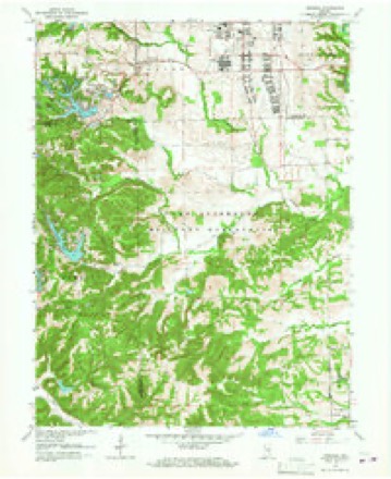
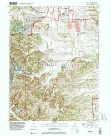
23 topographic sheets cover this place, the earliest surveyed in 1942 and the latest in 1998. It stands in Nineveh Township. It lies in ZIP code area 46164. The Survey maps it on the Nineveh quadrangle. It stands 771 feet above sea level.
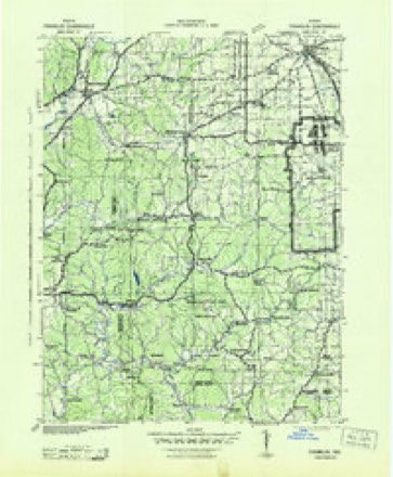
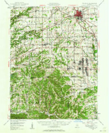
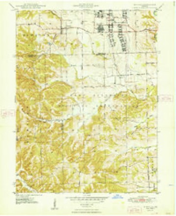
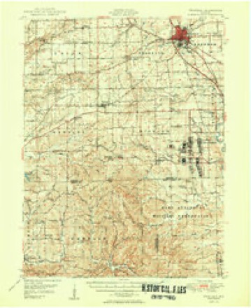
Topographic sheets covering this place
11 surveys from 23 printed sheetsMatched by testing this settlement's coordinate against the published boundary of every sheet in the United States Geological Survey's historical collection. Each opens the scanned sheet at the Survey.
- 1942 USGS Franklin quadrangle1:125000
- 1947 USGS Franklin quadrangle1:62500
- 1948 USGS Nineveh quadrangle1:24000, 3 printings
- 1950 USGS Franklin quadrangle1:62500, 2 printings
- 1953 USGS Indianapolis quadrangle1:250000, 4 printings
- 1956 USGS Indianapolis quadrangle1:250000
- 1957 USGS Indianapolis quadrangle1:250000, 2 printings
- 1962 USGS Indianapolis quadrangle1:250000
- 1962 USGS Nineveh quadrangle1:24000, 4 printings
- 1986 USGS Bloomington quadrangle1:100000, 3 printings
- 1998 USGS Nineveh quadrangle1:24000





In the county-history sources
10,790 words on this townshipA Historical Sketch of Johnson County, Indiana, published 1881 names this settlement in its chapter on Nineveh Township. These are the passages that mention it, exactly as the scans read.
In the fall of the same year, Robert Worl, an Ohio man, floated down the Ohio River to some point on the Indiana side, and thence picked his way to the New Purchase, mostly by the Indian trace. Reaching the Blue River settlement, he journeyed on and arrived on the Nineveh in the month of September, and built him a cabin about a mile east of the present town of Williamsburg.
Passage source: A Historical Sketch of Johnson County, Indiana, published 1881.
In 1824, Robert Moore and Aaron Dunham, of Ohio, arrived, and Isaac Walker, Perry Baily, George Baily, Joseph Thompson and Robert Forsyth, all from Kentucky. Forsyth was delayed at the driftwood by high water, but when he did cross, Mrs. Nancy Forsyth, his wife, mounted upon the back of a horse, with a bag of meal under her, rode out to their new home, carrying her child, James P., who was two years old, in her arms, and he carried a house-cat in his. It was late when they reached their place, but John S. Miller, Henry Mussulman and some others "whirled in " and helped to clear four acres of corn ground, on which a fair crop of corn was raised, and the bean vines grew so luxuriantly that they mounted into the lower branches of the trees.
Passage source: A Historical Sketch of Johnson County, Indiana, published 1881.
The year before that, David Trout was prostrated by a long and severe sickness, but his neighbors did not neglect him. On stated days they met at his place, and his corn was planted and plowed with as much care as any man's in the neighborhood.
Passage source: A Historical Sketch of Johnson County, Indiana, published 1881.
Machine-read from a century-old scan, so expect the errors a machine makes: misspelled names, dropped words, stray characters.
Read the whole chapter on Nineveh Township - it names this place 30 more 30 times.
Fires near this place
1 since 2007Regional context, not property-specific evidence. The federal wildfire occurrence database lists 1 fire within 5 miles of Nineveh in 2007, burning about 1,549 acres in total. None started naturally. None was recorded as arson. Distance is straight-line from the map coordinates, so a fire counted here may appear on a neighbouring settlement's page as well.
| Reported cause | Fires |
|---|---|
| Missing data/not specified/undetermined | 1 |
The most recent of them, most recent first, with the day each was reported and the service that recorded it.
| Date | Cause | Size | Reported by | Name on the report |
|---|---|---|---|---|
| 9 March 2007 | Missing data/not specified/undetermined | 1,549 acres | Indiana Division of Forestry | COYOTE FIRE |
Settlements close enough to share some of these fires:
Mines and quarries near this place
1 within 5 milesRegional context, not property-specific evidence. The federal mineral resources record lists 1 working within 5 miles of Nineveh: 1 past producer. None of them still produces. What was taken out: Clay. Distance is straight-line from the map coordinates, so a quarry counted here may appear on a neighbouring settlement's page as well.
| Where | Site | Commodity | Status | Recorded |
|---|---|---|---|---|
| Ashboro Pit | Clay | Past Producer |
Storms near this place
4 since 2006Regional context, not property-specific evidence. The National Weather Service names Nineveh in 4 storm reports between 2006 and 2017: 3 thunderstorm wind, 1 lightning. No death or injury is recorded in these reports. Each account below is quoted exactly as the forecast office filed it, from the NOAA Storm Events Database, and each date opens the federal record of that event.
| When | Event | Place named | Harm | What the report says |
|---|---|---|---|---|
| June 2006 | Lightning | Nineveh | $30,000 | A house was heavily damaged by a lightning strike-induced fire. |
| January 2017 | Thunderstorm Wind | Nineveh | $1,000 | Power lines were downed due to damaging thunderstorm wind gusts. |
| June 2010 | Thunderstorm Wind | Nineveh | $1,000 | A tree was reported down in this location due to damaging thunderstorm wind gusts. |
| July 2006 | Thunderstorm Wind | Nineveh | - | A tree fell into the roadway. |
Nearest settlements
The eight closest, with where each one stands in the county. Distances are straight-line, computed from the Geographic Names Information System coordinates.
| Map | Place | Distance | Sheets |
|---|---|---|---|
| Princes Lakes | 0.9 miles | 23 | |
| Peoga | 3.4 miles | 23 | |
| Trafalgar | 5.1 miles | 21 | |
| Samaria | 6.1 miles | 21 | |
| Amity | 6.3 miles | 23 | |
| Edinburgh | 6.3 miles | 15 | |
| Mount Pleasant | 7.0 miles | 23 | |
| Anita | 7.2 miles | 21 |
Elsewhere
Matched on this settlement's Geographic Names Information System number rather than its name, so it cannot be a different place of the same name in another state.
| Wikipedia article on Nineveh | An encyclopaedic summary. Its text is share-alike, so it is linked here rather than copied. |
| Wikidata item Q14688715 | The structured record the population and elevation above come from. Public domain (CC0). |
Provenance
This settlement is recorded in the Geographic Names Information System as feature 440180. The sheet list is computed by point-in-boundary test against the United States Geological Survey's historical topographic inventory. Both are works of the United States government and carry no copyright under 17 U.S.C. 105.
Wildfire. Short, Karen C. 2022. Spatial wildfire occurrence data for the United States, 1992-2020 [FPA_FOD_20221014]. 6th Edition. Fort Collins, CO: Forest Service Research Data Archive. https://doi.org/10.2737/RDS-2013-0009.6 Collected with United States Government funding and usable without additional permissions or fees.
Mines and quarries. USGS Mineral Resources Data System (MRDS) https://mrdata.usgs.gov/mrds/ A work of the United States government, no copyright under 17 U.S.C. 105.
Storms. NOAA National Centers for Environmental Information, Storm Events Database https://www.ncei.noaa.gov/stormevents/ A work of the United States government, no copyright under 17 U.S.C. 105. Narratives are quoted verbatim from the National Weather Service report and are not edited or summarised.