 Block
Needham, Indiana
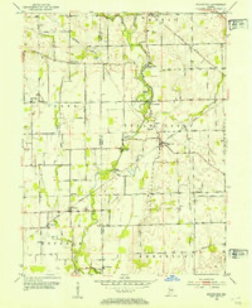
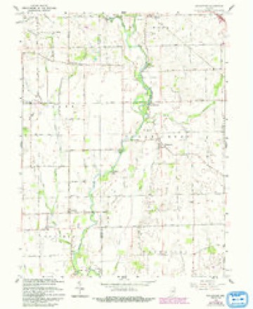
12 topographic sheets cover this place, the earliest surveyed in 1953 and the latest in 1986. It stands in Needham Township. It lies in ZIP code area 46131. It stands on Little Sugar Creek. The Survey maps it on the Boggstown quadrangle. It stands 738 feet above sea level.
Topographic sheets covering this place
5 surveys from 12 printed sheetsMatched by testing this settlement's coordinate against the published boundary of every sheet in the United States Geological Survey's historical collection. Each opens the scanned sheet at the Survey.
- 1953 USGS Boggstown quadrangle1:24000, 2 printings
- 1953 USGS Cincinnati quadrangle1:250000, 3 printings
- 1957 USGS Cincinnati quadrangle1:250000
- 1962 USGS Boggstown quadrangle1:24000, 4 printings
- 1986 USGS New Castle quadrangle1:100000, 2 printings



In the county-history sources
3,636 words on this townshipA Historical Sketch of Johnson County, Indiana, published 1881; History of Johnson County, Indiana : from the Earliest Time to the Present, with Biographical Sketches, Notes, Etc. Together with a Short History of the Northwest, the Indiana Territory, and the State of Indiana, published 1888 names this settlement in its chapter on Needham Township. These are the passages that mention it, exactly as the scans read.
Since the foregoing historical sketch has been written and placed in the hands of the printer, the County Commissioners have, in pursuance of the authority conferred by statute law, divided Franklin Township into two parts and organized the east part into a new township by the name of Needham. The new township contains a fraction less than thirty-five sections, leaving to the old a fraction over that number. This act of the board was done on the 16th of March, 1881, and at the same time the voting precinct of the new township was established at Schoolhouse No. 9, near the residence of James Tilson.
Passage source: A Historical Sketch of Johnson County, Indiana, published 1881.
John and Hannah Woolfington. The parents were married in Kentucky, and early emigrated to Salem, this state, where for some years the father held the position of deputy clerk of the Washington circuit court. ' He was a man of fine clerical abilities, and during his residence in Salem did a large amount of legal writing, etc. Mr. and Mrs. Woolfington had three chilnren, two of whom, a daughter, Mrs. Eliza Underwood, and the subject of this sketch, are living. Mr. Woolfington died a number of years ago, and his widow subsequently married, and under the care of his stepfather; John H. continued until" his thirteenth year, the mother dying in the meantime. At the age of twenty, our subject was married to Miss Nancy Martin, of Shelby County, Ky., after which he moved to Putnam County, Ind, and there remained until the year 1852. He then removed to Boone County, and engaged in farming and the livery business, and eight years later moved to Clinton County, where he followed agricultural pursuits for a period of six years. While on a visit to Vermillion County, 111., his wife died, after which event he broke up housekeeping, and made his home with his son in Boone County, until 1881. By his first marriage Mr. Woolfington had ten children, six of whom are living: Ann Eliza, Elias H., John N., Mary C, Lewis E. and George V. In 1881, Mr. Woolfington came to Johnson County, and the same year was united in marriage with Mrs. Margaret (Slack) Bass, widow of Arthur Bass. Since then he has followed farming as his principal occupation, in which he has been reasonably prosperous. He is an active and ^earnest .church member, and as such was licensed to preach while a resident of Boone County, and later, 1881, was regularly ordained in the county. He preaches in different parts of the country, but is not engaged in regular pastoral work, going wherever he can do the most good. He is- well versed in biblical literature, and possesses a Christian character above reproach.
Passage source: History of Johnson County, Indiana : from the Earliest Time to the Present, with Biographical Sketches, Notes, Etc. Together with a Short History of the Northwest, the Indiana Territory, and the State of Indiana, published 1888.
Thomas H. Alexander was born in Greeen County, Tenn., May 12, 1828, son of George and Margaret (Farns worth) Alexander. His father, also a native of Green County, Tenn., was born in 1800, and died in Johnson County, August 23, 1873. His mother was born in the same part of Tennessee, about 1802, and died in 1846. About 1832 the family came to Johnson. County, and settled in Franklin Township. The subject of this sketch was reared on the farm, and educated at the country schools. At nineteen years of age he began life as a farm hand, which he continued two years, and then learned the blacksmith's trade, and for five or six years was engaged in that business." Mr. Alexander first began farming in Franklin Township, and about eighteen years ago removed to his present farm in Needham Township, the same containing 615 acres. He is one of the most extensive and prosperous farmers in this locality. Mr. Alexander was married, in 1851, to Miss Sarah McCaslin, a native of Johnson County, born August 22, 1828. They have these five children: Mary, Alice, Margaret, George L. and Hattie. In politics, he has been an ardent republican since the days of John C. Fremont. Mr. and Mrs. Alexander are among the old settlers of this county, and are members of the Cumberland Presbyterian Church, of which he is an elder.
Passage source: History of Johnson County, Indiana : from the Earliest Time to the Present, with Biographical Sketches, Notes, Etc. Together with a Short History of the Northwest, the Indiana Territory, and the State of Indiana, published 1888.
Machine-read from a century-old scan, so expect the errors a machine makes: misspelled names, dropped words, stray characters.
Read the whole chapter on Needham Township - it names this place 6 more 6 times.
Mines and quarries near this place
1 within 5 milesRegional context, not property-specific evidence. The federal mineral resources record lists 1 working within 5 miles of Needham: 1 past producer. None of them still produces. What was taken out: Sand and Gravel, Construction. Distance is straight-line from the map coordinates, so a quarry counted here may appear on a neighbouring settlement's page as well.
| Where | Site | Commodity | Status | Recorded |
|---|---|---|---|---|
| Shelbyville & Blue River Gravel Pit | Sand and Gravel, Construction | Past Producer |
Storms near this place
3 since 2003Regional context, not property-specific evidence. The National Weather Service names Needham in 3 storm reports between 2003 and 2019: 2 thunderstorm wind, 1 lightning. No death or injury is recorded in these reports. Each account below is quoted exactly as the forecast office filed it, from the NOAA Storm Events Database, and each date opens the federal record of that event.
| When | Event | Place named | Harm | What the report says |
|---|---|---|---|---|
| August 2019 | Thunderstorm Wind | Needham | $2,000 | Several large tree limbs and a couple of small trees snapped due to thunderstorm wind gusts. |
| May 2003 | Lightning | Needham | $1,500 | no account filed |
| July 2006 | Thunderstorm Wind | Needham | $1,000 | Power lines were downed. |
Nearest settlements
The eight closest, with where each one stands in the county. Distances are straight-line, computed from the Geographic Names Information System coordinates.
| Map | Place | Distance | Sheets |
|---|---|---|---|
| Urmeyville | 0.9 miles | 12 | |
| Reds Corner | 4.9 miles | 12 | |
| Franklin | 5.6 miles | 23 | |
| Whiteland | 5.9 miles | 16 | |
| Rocklane | 5.9 miles | 16 | |
| West Whiteland | 6.3 miles | 16 | |
| New Whiteland | 6.9 miles | 16 | |
| Amity | 7.3 miles | 23 |
Elsewhere
Matched on this settlement's Geographic Names Information System number rather than its name, so it cannot be a different place of the same name in another state.
| Wikipedia article on Needham | An encyclopaedic summary. Its text is share-alike, so it is linked here rather than copied. |
| Wikidata item Q6986534 | The structured record the population and elevation above come from. Public domain (CC0). |
Provenance
This settlement is recorded in the Geographic Names Information System as feature 439969. The sheet list is computed by point-in-boundary test against the United States Geological Survey's historical topographic inventory. Both are works of the United States government and carry no copyright under 17 U.S.C. 105.
Mines and quarries. USGS Mineral Resources Data System (MRDS) https://mrdata.usgs.gov/mrds/ A work of the United States government, no copyright under 17 U.S.C. 105.
Storms. NOAA National Centers for Environmental Information, Storm Events Database https://www.ncei.noaa.gov/stormevents/ A work of the United States government, no copyright under 17 U.S.C. 105. Narratives are quoted verbatim from the National Weather Service report and are not edited or summarised.