 Block
Princes Lakes, Indiana
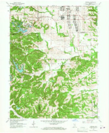
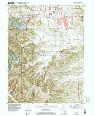
23 topographic sheets cover this place, the earliest surveyed in 1942 and the latest in 1998. It stands in Nineveh Township. It lies in ZIP code area 46164. The Survey maps it on the Nineveh quadrangle. 1,372 people lived here at the 2020 count. It stands 820 feet above sea level.
Population over time
2 figuresPrinces Lakes grew from 1,312 to 1,372 between 2010 and 2020. These are the recorded population figures Wikidata holds for this place, reached through the Geographic Names Information System number this page is keyed on rather than by name, so they belong to this place and not to another of the same name. Most are census counts, but not all are: an early figure may be a founding or settlement estimate, and an estimate published within five years of a census is left out. The change column is computed, and is left blank where more than 20 years separate a figure from the one before it, because a gap that long is not a change between two counts.
| Year | People | Change |
|---|---|---|
| 2010 | 1,312 | |
| 2020 | 1,372 | +60 (+5%) |
Topographic sheets covering this place
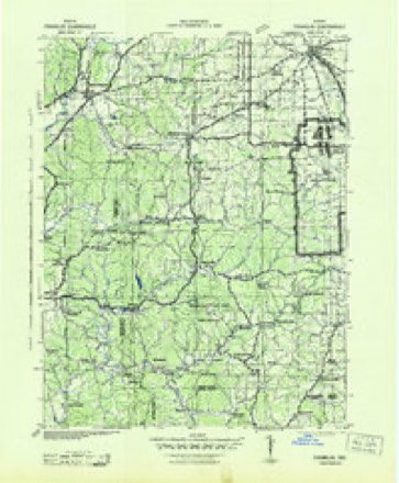
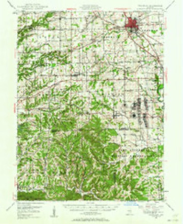
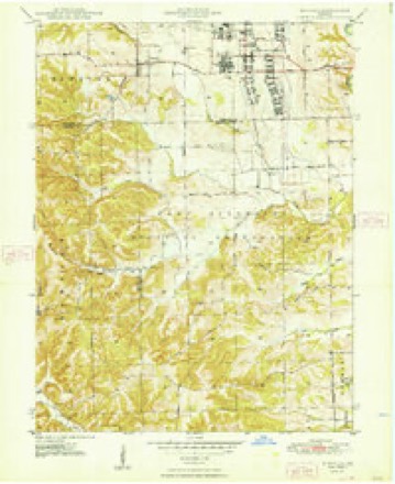
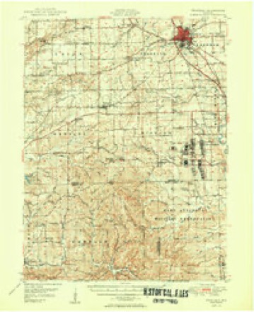
11 surveys from 23 printed sheetsMatched by testing this settlement's coordinate against the published boundary of every sheet in the United States Geological Survey's historical collection. Each opens the scanned sheet at the Survey.
- 1942 USGS Franklin quadrangle1:125000
- 1947 USGS Franklin quadrangle1:62500
- 1948 USGS Nineveh quadrangle1:24000, 3 printings
- 1950 USGS Franklin quadrangle1:62500, 2 printings
- 1953 USGS Indianapolis quadrangle1:250000, 4 printings
- 1956 USGS Indianapolis quadrangle1:250000
- 1957 USGS Indianapolis quadrangle1:250000, 2 printings
- 1962 USGS Indianapolis quadrangle1:250000
- 1962 USGS Nineveh quadrangle1:24000, 4 printings
- 1986 USGS Bloomington quadrangle1:100000, 3 printings
- 1998 USGS Nineveh quadrangle1:24000





In the county-history sources
10,790 words on this townshipA Historical Sketch of Johnson County, Indiana, published 1881; History of Johnson County, Indiana : from the Earliest Time to the Present, with Biographical Sketches, Notes, Etc. Together with a Short History of the Northwest, the Indiana Territory, and the State of Indiana, published 1888 has no passage naming this settlement, which was common for smaller places. Its township is covered in full.
The chapter on Nineveh Township covers the township.
Read the chapter on Nineveh Township - 10,790 words.
Fires near this place
1 since 2007Regional context, not property-specific evidence. The federal wildfire occurrence database lists 1 fire within 5 miles of Princes Lakes in 2007, burning about 1,549 acres in total. None started naturally. None was recorded as arson. Distance is straight-line from the map coordinates, so a fire counted here may appear on a neighbouring settlement's page as well.
| Reported cause | Fires |
|---|---|
| Missing data/not specified/undetermined | 1 |
The most recent of them, most recent first, with the day each was reported and the service that recorded it.
| Date | Cause | Size | Reported by | Name on the report |
|---|---|---|---|---|
| 9 March 2007 | Missing data/not specified/undetermined | 1,549 acres | Indiana Division of Forestry | COYOTE FIRE |
Settlements close enough to share some of these fires:
Mines and quarries near this place
1 within 5 milesRegional context, not property-specific evidence. The federal mineral resources record lists 1 working within 5 miles of Princes Lakes: 1 past producer. None of them still produces. What was taken out: Clay. Distance is straight-line from the map coordinates, so a quarry counted here may appear on a neighbouring settlement's page as well.
| Where | Site | Commodity | Status | Recorded |
|---|---|---|---|---|
| Ashboro Pit | Clay | Past Producer |
Storms near this place
10 since 1998Regional context, not property-specific evidence. The National Weather Service names Princes Lakes in 10 storm reports between 1998 and 2022: 5 thunderstorm wind, 2 hail, 2 tornado, 1 flash flood. The reports record 3 injuries. Each account below is quoted exactly as the forecast office filed it, from the NOAA Storm Events Database, and each date opens the federal record of that event.
| When | Event | Place named | Harm | What the report says |
|---|---|---|---|---|
| June 2008 | Tornado (EF2) | Princes Lakes | 3 hurt, $23,000,000 | In Brown County near Peoga damaged occurred to twenty to thirty homes, a barn, powerlines, trees, and a carport due to a tornado. One indirect injury occurred when I firefighter suffered heat stroke. In Johnson County at Camp Atterbury forty buildings were damaged, dozens of vehicles including a 6,000 pound Humvee and a bus were tossed and crushed, the chapel was damaged, and a trailer was tossed on top of a building. Also in Johnson County in Edinburgh 59 buildings were damaged or destroyed. One woman suffered an ankle injury during the tornado. Damaged occurred in Shelby County to a gas station. One woman at the gas station sustained minor injuries when her car windows were blown out. The tornado touched down at 2024 EST in Brown County near the intersection of Sweetwater Trail and Beech Tree Road. The tornado tracked to the northeast for 2.83 miles before crossing into Johnson County approximately 1000 feet west of County Road 900 at 2030 EST. The tornado continued to track to the northeast for 7.19 miles until 2046 EST when the tornado entered Shelby County just south of the County Road 900 and West State Road 252 intersection. The tornado lifted at 2047 EST in Shelby County after tracking to the northeast and lifting at exit 80 on Interstate 65. The tornado was an EF-2 while in Brown County causing 200 thousand dollars in damage. The tornado was an EF-2 while in Johnson County causing 23 million dollars in damage. The tornado weakened to an EF-1 while in Shelby County causing 15 thousand dollars in damage. Based on damage indicators, at the tornadoes peak intensity wind speeds were around 130 miles per hour. The tornado formed from a supercell and was on the ground for 23 minutes or 10.59 miles. |
| June 2008 | Flash Flood | Princes Lakes | $90,000,000 | Flash flooding occurred at the hospital and at least two bridges failed on county roads due to flash flooding caused by heavy rainfall and a breach in a dam. Large agricultural areas underwater. About 500 homes were flooded in Whiteland with all roads closed into the town. Multiple people were rescued from cars and homes. In Edinburgh, flooding left an estimated 40 to 50 homes uninhabitable. Bluff Creek flooded. The Prince's Lake area flooded as a man made dam eroded in sections and left a gash in the dam. In Franklin, apartments, shops, and homes were flooded. More than 400 water rescues took place in the county. Seventeen police cars were swept away. |
| April 2000 | Thunderstorm Wind | Princes Lakes | $500,000 | no account filed |
| May 2022 | Tornado (EF0) | Princes Lakes | $40,000 | The second tornado to impact central Indiana on May 21st, was a weak EF0 that briefly touched down in Camp Atterbury. The steeple at a church was blown over while shingles were blown off, and several vehicles were lifted slightly with plywood debris from the roof of the church underneath the tires of the cars. Peak winds estimated at 84 mph. |
| July 2015 | Thunderstorm Wind | Princes Lakes | $10,000 | Law enforcement reported trees down near Princes Lake, both in Johnson and Brown counties, due to damaging thunderstorm wind gusts. |
| March 1998 | Thunderstorm Wind | Princes Lakes | $1,500 | Thunderstorm winds blew down trees and power lines. |
| July 2012 | Hail | Princes Lakes | - | no account filed |
| May 2003 | Hail | Princes Lakes | - | no account filed |
| August 2001 | Thunderstorm Wind | Princes Lakes | - | no account filed |
| May 1999 | Thunderstorm Wind | Princes Lakes | - | no account filed |
Nearest settlements
The eight closest, with where each one stands in the county. Distances are straight-line, computed from the Geographic Names Information System coordinates.
Elsewhere
Matched on this settlement's Geographic Names Information System number rather than its name, so it cannot be a different place of the same name in another state.
| Wikipedia article on Princes Lakes | An encyclopaedic summary. Its text is share-alike, so it is linked here rather than copied. |
| Wikidata item Q2664331 | The structured record the population and elevation above come from. Public domain (CC0). |
Provenance
This settlement is recorded in the Geographic Names Information System as feature 452073. The sheet list is computed by point-in-boundary test against the United States Geological Survey's historical topographic inventory. Both are works of the United States government and carry no copyright under 17 U.S.C. 105.
Wildfire. Short, Karen C. 2022. Spatial wildfire occurrence data for the United States, 1992-2020 [FPA_FOD_20221014]. 6th Edition. Fort Collins, CO: Forest Service Research Data Archive. https://doi.org/10.2737/RDS-2013-0009.6 Collected with United States Government funding and usable without additional permissions or fees.
Mines and quarries. USGS Mineral Resources Data System (MRDS) https://mrdata.usgs.gov/mrds/ A work of the United States government, no copyright under 17 U.S.C. 105.
Storms. NOAA National Centers for Environmental Information, Storm Events Database https://www.ncei.noaa.gov/stormevents/ A work of the United States government, no copyright under 17 U.S.C. 105. Narratives are quoted verbatim from the National Weather Service report and are not edited or summarised.