 Block
Bakers Corner, Indiana
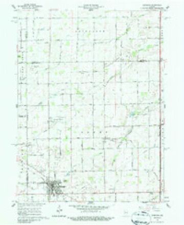
10 topographic sheets cover this place, the earliest surveyed in 1953 and the latest in 1984. It stands in Sheridan town. It lies in ZIP code area 46030. The Survey maps it on the Sheridan quadrangle. It stands 915 feet above sea level.
Topographic sheets covering this place
5 surveys from 10 printed sheetsMatched by testing this settlement's coordinate against the published boundary of every sheet in the United States Geological Survey's historical collection. Each opens the scanned sheet at the Survey.
- 1953 USGS Danville quadrangle1:250000, 3 printings
- 1955 USGS Danville quadrangle1:250000
- 1956 USGS Danville quadrangle1:250000
- 1961 USGS Sheridan quadrangle1:24000, 3 printings
- 1984 USGS Lafayette quadrangle1:100000, 2 printings




What happened here
An account from the chapter on Sheridan town. The inset identifies its exact source book and publication year.
Condensed Milk Factory
The Indiana Condensed Milk Company's plant at Sheridan is among the largest of its kind in the country. It was established about the year 1900 by W. N. Wilson, succeeding the old butter works that had been there many years before this latter organization. Mr. Wilson was accidentally killed by the explosion of a sterilizing equipment.
In the county-history sources
18,460 words on this townshipHistory of Hamilton County Indiana, published 1915 has no passage naming this settlement, which was common for smaller places. Its township is covered in full.
The chapter on Sheridan Town covers the township.
Read the chapter on Sheridan Town - 18,460 words.
Nearest settlements
The eight closest, with where each one stands in the county. Distances are straight-line, computed from the Geographic Names Information System coordinates.
Elsewhere
Matched on this settlement's Geographic Names Information System number rather than its name, so it cannot be a different place of the same name in another state.
| Wikipedia article on Bakers Corner | An encyclopaedic summary. Its text is share-alike, so it is linked here rather than copied. |
| Wikidata item Q4849257 | The structured record the population and elevation above come from. Public domain (CC0). |
Provenance
This settlement is recorded in the Geographic Names Information System as feature 430439. The sheet list is computed by point-in-boundary test against the United States Geological Survey's historical topographic inventory. Both are works of the United States government and carry no copyright under 17 U.S.C. 105.