 Block
Blackiston Mill, Indiana
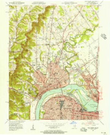
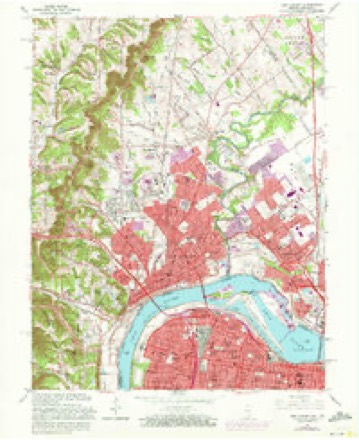
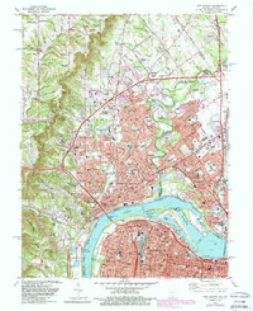
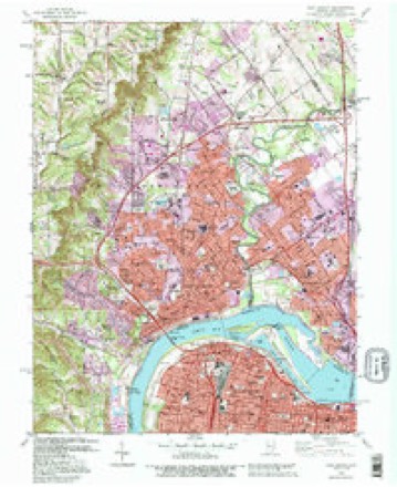
19 topographic sheets cover this place, the earliest surveyed in 1939 and the latest in 1992. It stands in New Albany Township. It lies in ZIP code area 47150. It stands on Slate Run. The Survey maps it on the New Albany quadrangle.
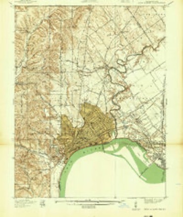
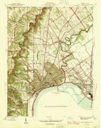
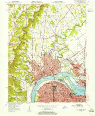
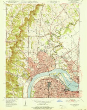
Topographic sheets covering this place
12 surveys from 19 printed sheetsMatched by testing this settlement's coordinate against the published boundary of every sheet in the United States Geological Survey's historical collection. Each opens the scanned sheet at the Survey.
- 1939 USGS New Albany quadrangle1:24000
- 1946 USGS New Albany quadrangle1:24000, 2 printings
- 1950 USGS New Albany quadrangle1:24000
- 1951 USGS New Albany quadrangle1:24000, 2 printings
- 1955 USGS New Albany quadrangle1:24000
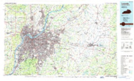
- 1956 USGS Louisville quadrangle1:250000, 2 printings
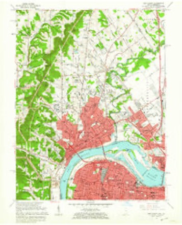
- 1960 USGS New Albany quadrangle1:24000
- 1964 USGS Louisville quadrangle1:250000
- 1965 USGS New Albany quadrangle1:24000, 2 printings
- 1982 USGS New Albany quadrangle1:24000, 2 printings
- 1986 USGS Louisville quadrangle1:100000, 2 printings
- 1992 USGS New Albany quadrangle1:24000, 2 printings
Mines and quarries near this place
4 within 5 milesRegional context, not property-specific evidence. The federal mineral resources record lists 4 workings within 5 miles of Blackiston Mill: 2 producers, 1 plant, 1 past producer. 3 still produce. What was taken out: Stone, Crushed/Broken, Salt. Distance is straight-line from the map coordinates, so a quarry counted here may appear on a neighbouring settlement's page as well.
| Where | Site | Commodity | Status | Recorded |
|---|---|---|---|---|
| Cargill Salt/ Clarksville, Ind. | Salt | Plant | ||
| Atkins Plant & Quarry | Stone, Crushed/Broken | Producer | ||
| Louisville Sand&Gravel Inc | Stone, Crushed/Broken | Past Producer | ||
| Sellersburg Stone Quarry | Stone, Crushed/Broken | Producer |
Storms near this place
17 since 2009Regional context, not property-specific evidence. The National Weather Service names Blackiston Mill in 17 storm reports between 2009 and 2025: 7 hail, 5 thunderstorm wind, 3 flash flood, 1 heavy rain. The reports record 2 injuries. Each account below is quoted exactly as the forecast office filed it, from the NOAA Storm Events Database, and each date opens the federal record of that event.
| When | Event | Place named | Harm | What the report says |
|---|---|---|---|---|
| May 2023 | Tornado (EF1) | Blackiston Mill | 2 hurt | The tornado first touched down on the Indiana University Southeast campus, on the west side of the Natural Science and Nursing building. There was roof and siding damage to the building. Trees between the parking lot and Grenadier Drive were |facing east, north, and to the northwest. | Power poles were snapped along Highway 111 (Grant Line Road). Apartments along Countryside Drive had shingle, gutter and downspout damage. However, one of the apartments had a large section of its roof removed with debris being thrown in all |directions. Two people in the apartment building were injured with head lacerations. Shingles were thrown several hundred yards. Trees were uprooted, snapped and twisted along Countryside Drive and Melvyn Drive. Trees were facing from the northwest to the southeasterly direction. Wind speeds in this area were 100 mph |with a width of 125 yards. One house on Melvyn Drive had no damage except for a piece of gutter that was thrown as a missile in a northerly direction through a window into their living room. Thankfully no one was injured at this location. | One outbuilding was thrown to the south, while another outbuilding was thrown to the north, three houses apart. Powerlines were snapped, and one large piece of roofing material from the apartment was impaled into the ground. There was numerous wooden and metal fence damage between Melvyn Drive and Preswick Square. A |very big, healthy oak tree was uprooted and was facing an east northeasterly direction. Wind damage in this area was consistent with an EF1 tornado, winds of 105 miles per hour, and a width of 100 yards. | The last damage was just on the other side of Klerner Lane, which was some low-end EF1 90 mph topped tree damage. In addition to a ground survey, drone photography was used, and there were several videos of a funnel on social media. |
| August 2023 | Thunderstorm Wind | Blackiston Mill | - | A tree fell on a home. |
| May 2023 | Thunderstorm Wind | Blackiston Mill | - | One softwood tree was uprooted and a mid-size older outbuilding had a section of its roof blown off. The roof was blown approximately 50 yards downwind. |
| August 2022 | Thunderstorm Wind | Blackiston Mill | - | A tree fell. |
| April 2017 | Flash Flood | Blackiston Mill | - | Local media reported Grant Line Road had high water over the roadway. |
| July 2015 | Flash Flood | Blackiston Mill | - | A public report was received of high water flooding parts of Castlewood Drive. Between 2 and 3 inches fell within 2 hours across much of the area. |
| May 2012 | Flash Flood | Blackiston Mill | - | Just north of New Albany, Grant Line Road was flooded near the VFW administrative building. |
| September 2012 | Thunderstorm Wind | Blackiston Mill | - | The Louisville media reported that a large tree was uprooted at Slate Run Elementary School. |
| May 2011 | Thunderstorm Wind | Blackiston Mill | - | A house sustained roof damage in the Cobblers Crossing subdivision. |
| June 2009 | Heavy Rain | Blackiston Mill | - | A spotter measured 2.19 inches of rain in around 2 hours near Floyds Knobs. |
| March 2025 | Hail | Blackiston Mill | - | no account filed |
| April 2024 | Hail | Blackiston Mill | - | no account filed |
| August 2022 | Hail | Blackiston Mill | - | no account filed |
| August 2022 | Hail | Blackiston Mill | - | no account filed |
| August 2022 | Hail | Blackiston Mill | - | no account filed |
| March 2012 | Hail | Blackiston Mill | - | no account filed |
| April 2011 | Hail | Blackiston Mill | - | no account filed |
Nearest settlements
The eight closest, with where each one stands in the county. Distances are straight-line, computed from the Geographic Names Information System coordinates.
| Map | Place | Distance | Sheets |
|---|---|---|---|
| New Albany | 3.7 miles | 19 | |
| Saint Marys | 3.8 miles | 19 | |
| Floyds Knobs | 4.1 miles | 19 | |
| Silver Hills | 4.4 miles | 19 | |
| Saint Joseph | 4.5 miles | 14 | |
| Edwardsville | 6.9 miles | 14 | |
| Scottsville | 7.5 miles | 12 | |
| Duncan | 7.5 miles | 14 |
Provenance
This settlement is recorded in the Geographic Names Information System as feature 431153. The sheet list is computed by point-in-boundary test against the United States Geological Survey's historical topographic inventory. Both are works of the United States government and carry no copyright under 17 U.S.C. 105.
Mines and quarries. USGS Mineral Resources Data System (MRDS) https://mrdata.usgs.gov/mrds/ A work of the United States government, no copyright under 17 U.S.C. 105.
Storms. NOAA National Centers for Environmental Information, Storm Events Database https://www.ncei.noaa.gov/stormevents/ A work of the United States government, no copyright under 17 U.S.C. 105. Narratives are quoted verbatim from the National Weather Service report and are not edited or summarised.