 Block
Duncan, Indiana
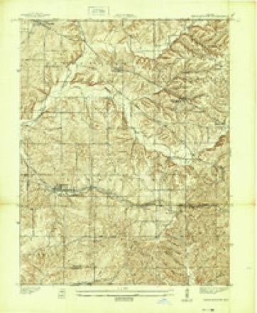
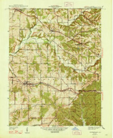
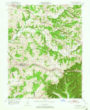
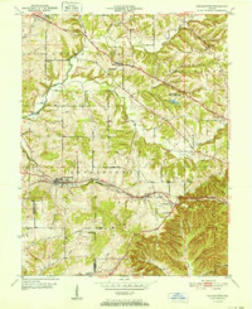
14 topographic sheets cover this place, the earliest surveyed in 1939 and the latest in 1986. It stands in Georgetown Township. It lies in ZIP code area 47122. It lies near Pear Ridge. The Survey maps it on the Georgetown quadrangle. It stands 804 feet above sea level.
Topographic sheets covering this place
8 surveys from 14 printed sheetsMatched by testing this settlement's coordinate against the published boundary of every sheet in the United States Geological Survey's historical collection. Each opens the scanned sheet at the Survey.
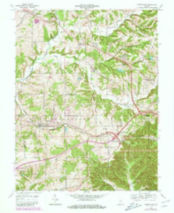
- 1939 USGS Georgetown quadrangle1:24000
- 1947 USGS Georgetown quadrangle1:24000, 2 printings
- 1949 USGS Georgetown quadrangle1:24000
- 1952 USGS Georgetown quadrangle1:24000
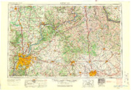
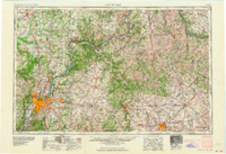
- 1956 USGS Louisville quadrangle1:250000, 2 printings
- 1964 USGS Louisville quadrangle1:250000
- 1966 USGS Georgetown quadrangle1:24000, 4 printings
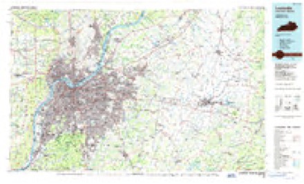
- 1986 USGS Louisville quadrangle1:100000, 2 printings
Storms near this place
5 since 2010Regional context, not property-specific evidence. The National Weather Service names Duncan in 5 storm reports between 2010 and 2025: 3 thunderstorm wind, 2 hail. No death or injury is recorded in these reports. Each account below is quoted exactly as the forecast office filed it, from the NOAA Storm Events Database, and each date opens the federal record of that event.
| When | Event | Place named | Harm | What the report says |
|---|---|---|---|---|
| July 2018 | Thunderstorm Wind | Duncan | $25,000 | A social media post showed damage on Edwardsville-Galena Road. The report said the storm took out trees and electric poles and lines. |
| June 2023 | Thunderstorm Wind | Duncan | - | A residence along State Road 11 near Lanesville sustained roof and siding damage. One inch hail was also observed at the location. |
| June 2010 | Thunderstorm Wind | Duncan | - | Trees were blocking Interstate 64 westbound near the Greenville Exit 119. |
| March 2025 | Hail | Duncan | - | no account filed |
| April 2017 | Hail | Duncan | - | no account filed |
Nearest settlements
The eight closest, with where each one stands in the county. Distances are straight-line, computed from the Geographic Names Information System coordinates.
| Map | Place | Distance | Sheets |
|---|---|---|---|
| Edwardsville | 0.9 miles | 14 | |
| Georgetown | 2.7 miles | 14 | |
| Floyds Knobs | 3.7 miles | 19 | |
| Silver Hills | 4.2 miles | 19 | |
| Galena | 4.5 miles | 14 | |
| Buchanan | 5.1 miles | 19 | |
| New Albany | 5.3 miles | 19 | |
| Saint Marys | 5.7 miles | 19 |
Elsewhere
Matched on this settlement's Geographic Names Information System number rather than its name, so it cannot be a different place of the same name in another state.
| Wikidata item Q5314223 | The structured record the population and elevation above come from. Public domain (CC0). |
Provenance
This settlement is recorded in the Geographic Names Information System as feature 433768. The sheet list is computed by point-in-boundary test against the United States Geological Survey's historical topographic inventory. Both are works of the United States government and carry no copyright under 17 U.S.C. 105.
Storms. NOAA National Centers for Environmental Information, Storm Events Database https://www.ncei.noaa.gov/stormevents/ A work of the United States government, no copyright under 17 U.S.C. 105. Narratives are quoted verbatim from the National Weather Service report and are not edited or summarised.