 Block
Edwardsville, Indiana
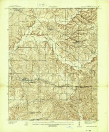
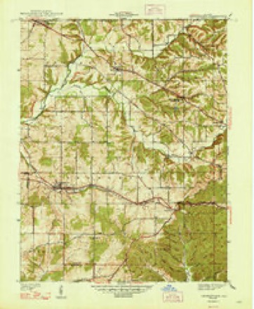
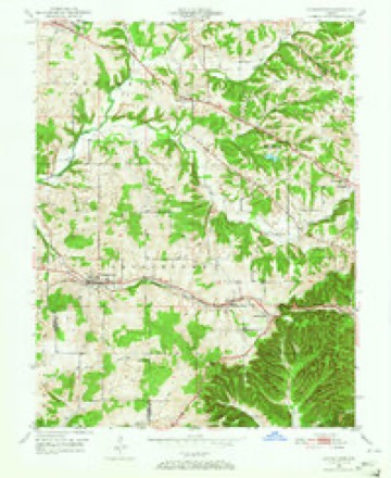
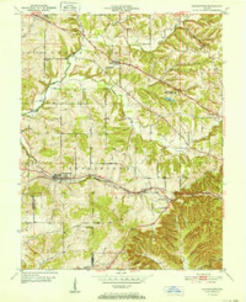
14 topographic sheets cover this place, the earliest surveyed in 1939 and the latest in 1986. It stands in Georgetown Township. It lies in ZIP code area 47122. It lies near Pear Ridge. The Survey maps it on the Georgetown quadrangle. It stands 912 feet above sea level.
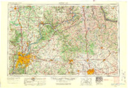
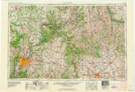
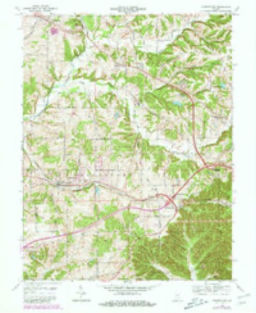
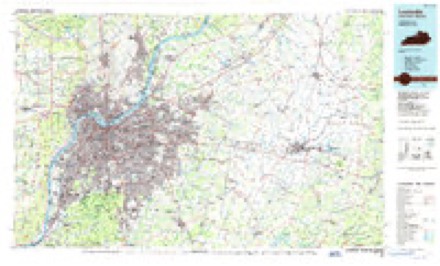
Topographic sheets covering this place
8 surveys from 14 printed sheetsMatched by testing this settlement's coordinate against the published boundary of every sheet in the United States Geological Survey's historical collection. Each opens the scanned sheet at the Survey.
- 1939 USGS Georgetown quadrangle1:24000
- 1947 USGS Georgetown quadrangle1:24000, 2 printings
- 1949 USGS Georgetown quadrangle1:24000
- 1952 USGS Georgetown quadrangle1:24000
- 1956 USGS Louisville quadrangle1:250000, 2 printings
- 1964 USGS Louisville quadrangle1:250000
- 1966 USGS Georgetown quadrangle1:24000, 4 printings
- 1986 USGS Louisville quadrangle1:100000, 2 printings
Storms near this place
19 since 2007Regional context, not property-specific evidence. The National Weather Service names Edwardsville in 19 storm reports between 2007 and 2023: 9 thunderstorm wind, 4 flash flood, 3 flood, 2 tornado. No death or injury is recorded in these reports. Each account below is quoted exactly as the forecast office filed it, from the NOAA Storm Events Database, and each date opens the federal record of that event.
| When | Event | Place named | Harm | What the report says |
|---|---|---|---|---|
| April 2023 | Thunderstorm Wind | Edwardsville | - | A tree blew down at a residence off 7 Mile Lane. |
| June 2023 | Thunderstorm Wind | Edwardsville | - | The survey team found straight-line wind damage at The Sporting Club at the Farm on State Road 111. A large pole barn on the south end of the property had its roof peel off and blown downwind towards the south-southeast. Parts of the roof struck a wooden farm fence which brought down multiple sections of the fence. Some of the debris then crossed 5 mile lane and took out a power pole bringing down the pole and power lines. Some of the roof went as far as 150 yards from the barn. All of the roof blew in the same general direction. The east wall of the pole barn, which is one of the short sides of the barn, blew out falling towards State Road 111. The base of the wall remained near it original location. ||An approximate 90 to 95 mph out of the north-northwest wind got under the roof's overhang and was able to peel the roof off, and push the east side wall out. The only other damage in the area was minor tree damage. |
| August 2023 | Thunderstorm Wind | Edwardsville | - | A few residents called about widespread tree damage in the Silver Hills Subdivision. The time on the report is based on when power went out as multiple storms passed through the area overnight. |
| May 2023 | Tornado (EF1) | Edwardsville | - | The first damage point towards the western end of McCarthy Knob Road was some straight-line wind damage of some cedars and maple trees of 75 mph. Shortly east of there was more widespread tree damage on the west side of the road and up the hill. There were softwood and hardwood trees twisted, snapped, topped, and uprooted for almost a half a mile which ended near the intersection of Budd Road. | A tree fell on the back side of the house, causing some gutter and fascia damage. There were several power lines down and two power poles pushed over. The maximum tornado winds were 90 mph. |
| May 2023 | Tornado (EF1) | Edwardsville | - | The first area of damage was at The Sporting Club at the Farm on Indiana State Road 111. Two large barns had significant roof damage and there was shingle and soffit damage to a large, well-built house. Of significance, a 110-pound storm cellar door was sucked out and thrown almost 100 yards to the east. There were 3 trees uprooted |and facing from north to an easterly direction. | The 600-pound sign for the sporting club was lifted up and moved to the north several feet. The tornado crossed Highway 111 and snapped and twisted over a dozen trees along the west side of the Ohio River. Because of the 110-pound bolted tornado shelter door being sucked out, the tornado rating increased from 95 to 100 mph. The |width was 100 yards wide. | The tornado continued near Five Mile Lane and River Road in Floyd County along the Ohio River where shingles were lost on a residence and a barn garage received significant roof damage where the metal panels were peeled off. The tornado then crossed the Ohio River into Kentucky in the Lake Dreamland area of West Louisville in western Jefferson County. |
| June 2022 | Thunderstorm Wind | Edwardsville | - | A tree fell on top of a car on 111 South. |
| February 2018 | Flood | Edwardsville | - | SR 111 is flooded across many areas. |
| February 2018 | Flood | Edwardsville | - | A few roads closed due to high water and flooding including 5 Mile Lane, 7 Mile Lane, and Blunk Knob Road. |
| September 2018 | Flash Flood | Edwardsville | - | Water was flowing over Corydon Pike Road in several locations. |
| June 2015 | Thunderstorm Wind | Edwardsville | - | An Indiana state official reported that fallen trees due to severe thunderstorm winds had to be removed from roads on 2 Mile Lane and Corydon Pike. |
| June 2015 | Thunderstorm Wind | Edwardsville | - | An Indiana state official reported to the NWS that fallen trees because of severe thunderstorm winds had to be removed from roadways on 2 Mile Lane and Corydon Pike. |
| December 2015 | Thunderstorm Wind | Edwardsville | - | The Floyd County emergency manager reported trees down due to severe thunderstorm winds on Quarry Road near Georgetown. |
| December 2015 | Thunderstorm Wind | Edwardsville | - | The Floyd County emergency manager reported that trees were down on Budd Road and Tomahawk Lane due to severe thunderstorm winds. |
| April 2011 | Thunderstorm Wind | Edwardsville | - | A trained spotter reported a measured wind gust of 64 mph. |
| August 2009 | Flash Flood | Edwardsville | - | A water rescue was performed along HWY 150. |
| August 2009 | Flash Flood | Edwardsville | - | Several roads were washed out to one lane across the county, including Edwardsville Road, Corydon Pike, and Two Mile Lane. |
| March 2008 | Flash Flood | Edwardsville | - | High water from heavy rains closed numerous road in New Albany and Floyds Knobs. |
| December 2007 | Flood | Edwardsville | - | Seven Mile Lane was closed due to high water. |
| April 2017 | Hail | Edwardsville | - | no account filed |
Nearest settlements
The eight closest, with where each one stands in the county. Distances are straight-line, computed from the Geographic Names Information System coordinates.
| Map | Place | Distance | Sheets |
|---|---|---|---|
| Duncan | 0.9 miles | 14 | |
| Floyds Knobs | 3.4 miles | 19 | |
| Silver Hills | 3.4 miles | 19 | |
| Georgetown | 3.6 miles | 14 | |
| New Albany | 4.5 miles | 19 | |
| Buchanan | 4.7 miles | 19 | |
| Galena | 5.0 miles | 14 | |
| Saint Marys | 5.5 miles | 19 |
Elsewhere
Matched on this settlement's Geographic Names Information System number rather than its name, so it cannot be a different place of the same name in another state.
| Wikipedia article on Edwardsville | An encyclopaedic summary. Its text is share-alike, so it is linked here rather than copied. |
| Wikidata item Q5346155 | The structured record the population and elevation above come from. Public domain (CC0). |
Provenance
This settlement is recorded in the Geographic Names Information System as feature 434034. The sheet list is computed by point-in-boundary test against the United States Geological Survey's historical topographic inventory. Both are works of the United States government and carry no copyright under 17 U.S.C. 105.
Storms. NOAA National Centers for Environmental Information, Storm Events Database https://www.ncei.noaa.gov/stormevents/ A work of the United States government, no copyright under 17 U.S.C. 105. Narratives are quoted verbatim from the National Weather Service report and are not edited or summarised.