 Block
Floyds Knobs, Indiana
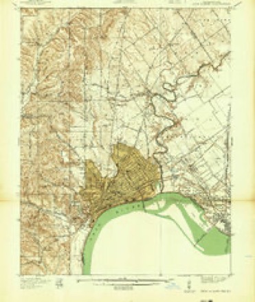
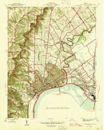
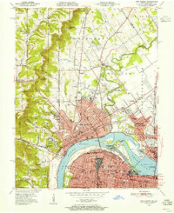
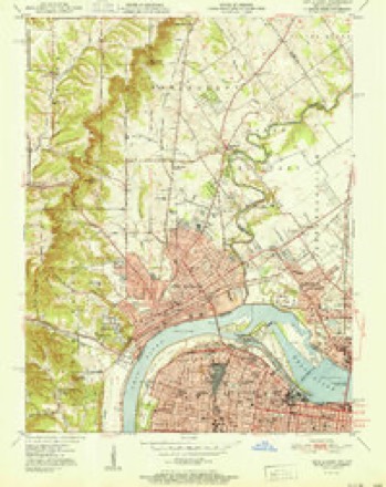
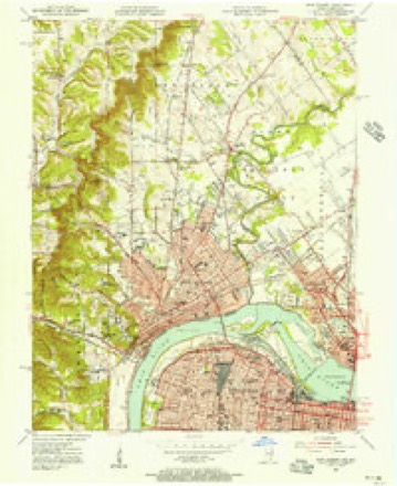
19 topographic sheets cover this place, the earliest surveyed in 1939 and the latest in 1992. It stands in Lafayette Township. It lies in ZIP code area 47119. It stands on Floyds Creek. The Survey maps it on the New Albany quadrangle. It stands 771 feet above sea level.
On record in Floyds Knobs
Buildings and businesses the archive holds for this place. Each opens its own page, with the source record it came from.
On the National Register 1 record
- Charles and Elletha Frederick Houselisted 2022
Topographic sheets covering this place
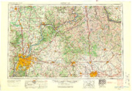
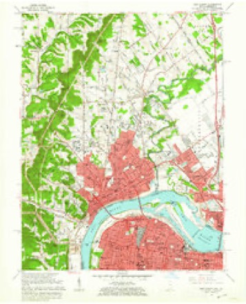
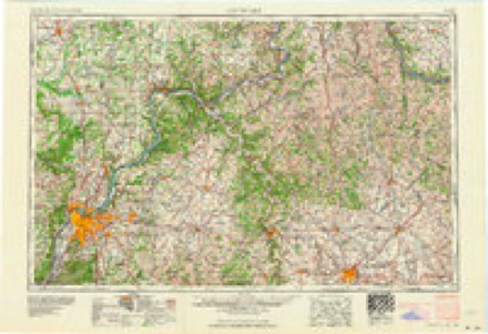
12 surveys from 19 printed sheetsMatched by testing this settlement's coordinate against the published boundary of every sheet in the United States Geological Survey's historical collection. Each opens the scanned sheet at the Survey.
- 1939 USGS New Albany quadrangle1:24000
- 1946 USGS New Albany quadrangle1:24000, 2 printings
- 1950 USGS New Albany quadrangle1:24000
- 1951 USGS New Albany quadrangle1:24000, 2 printings
- 1955 USGS New Albany quadrangle1:24000
- 1956 USGS Louisville quadrangle1:250000, 2 printings
- 1960 USGS New Albany quadrangle1:24000
- 1964 USGS Louisville quadrangle1:250000
- 1965 USGS New Albany quadrangle1:24000, 2 printings
- 1982 USGS New Albany quadrangle1:24000, 2 printings
- 1986 USGS Louisville quadrangle1:100000, 2 printings
- 1992 USGS New Albany quadrangle1:24000, 2 printings
Storms near this place
44 since 1996Regional context, not property-specific evidence. The National Weather Service names Floyds Knobs in 44 storm reports between 1996 and 2026: 25 thunderstorm wind, 11 hail, 2 flash flood, 2 lightning. No death or injury is recorded in these reports. Each account below is quoted exactly as the forecast office filed it, from the NOAA Storm Events Database, and each date opens the federal record of that event.
| When | Event | Place named | Harm | What the report says |
|---|---|---|---|---|
| February 2024 | Lightning | Floyds Knobs | $100,000 | Lightning started a structure fire, rupturing a gas line which also ignited. Cost to repair damages are unknown. |
| May 2018 | Thunderstorm Wind | Floyds Knobs | $32,000 | The fire department reported that a large tree was down on power lines and caused minor damage to a home. There was also a tree across power lines that caused a small fire. |
| June 2015 | Thunderstorm Wind | Floyds Knobs | $20,000 | A broadcast meteorologist relayed to the NWS a report of a barn roof partially blown off due to severe thunderstorm winds. |
| August 2009 | Lightning | Floyds Knobs | $15,000 | A house fire was started from a lightning strike on Loi Road. |
| January 2012 | Tornado (EF1) | Floyds Knobs | $10,000 | An EF-1 tornado with estimated winds of 95 to 100 mph first touched down along East Riley Road, where a garage was destroyed. Multiple trees were downed further east along Binford Road. After crossing Paoli Pike just north of Interstate 265, and just before lifting, the tornado damaged some roofs at the Knob Point Apartments. Maximum wind speeds were estimated to be between 95 and 100 mph. |
| July 2008 | Thunderstorm Wind | Floyds Knobs | $5,000 | Over 50 trees were reported down one half mile west of Interstate 265 with a large tree on a house. |
| April 1996 | Thunderstorm Wind | Floyds Knobs | $1,000 | no account filed |
| April 2026 | Thunderstorm Wind | Floyds Knobs | - | There were power lines and a tree down on St. Marys Road. |
| March 2025 | Thunderstorm Wind | Floyds Knobs | - | A tree fell on Spring Farms Drive and Old Vincennes Road. |
| April 2025 | Tornado (EF1) | Floyds Knobs | - | The National Weather Service conducted an initial storm survey of the New Albany area Monday, finding evidence of very sporadic straight-line wind damage of 70-75 mph along a path from Quarry Road to Green Valley Road near the Green Valley Elementary School. They concluded that an EF1 tornado did touch down along a little more than 2-mile path in New Albany. Peak winds were near 100 mph with a width of 500 yards. Damage was not consistent along the entire width of the tornado.||The tornado first touched down just west of Green Valley Road near Green Brier Drive. Multiple wooden power poles on the north side of the tornado were snapped toward the southeast. Some tree damage was noted over Holy Trinity Cemetery and a nearby neighborhood to the east. The tornado continued east northeast across a fairly flat area within and south of New Albany Community Park. More notable damage occurred in a WSW to ENE swath south of Castlewood Drive, roughly from Woodbourne Drive to Klerner Lane. Grace Lutheran Preschool had tree damage on the property as well as a dumpster moved 15 to 20 feet. Multiple trees were downed along Klerner Lane, where the tornado appeared to lift, per damage reports we have received. ||The sporadic damage paths found south of the tornado likely were inflow winds into the tornado, including damage identified by the survey team downstream of Green Valley Elementary, over Daisy Lane and Kent Drive and over to Klerner Lane at Charlestown Road. |
| September 2024 | Thunderstorm Wind | Floyds Knobs | - | A power outage was caused by damage to lines. This resulted in traffic lights not working at the intersection of U.S. Route 150 and Paoli Pike. |
| September 2024 | Thunderstorm Wind | Floyds Knobs | - | A few trees were blown down in Floyds Knobs. |
| August 2022 | Thunderstorm Wind | Floyds Knobs | - | Several large trees fell in Floyds Knobs. |
| July 2021 | Thunderstorm Wind | Floyds Knobs | - | Power lines were down at Paoli Pike and Old Hill Road. |
| April 2016 | Thunderstorm Wind | Floyds Knobs | - | A broadcast meteorologist relayed a report of a pole barn destroyed due to severe thunderstorm winds. |
| May 2016 | Hail | Floyds Knobs | - | A trained spotter reported hail 1 inch in diameter. |
| July 2015 | Thunderstorm Wind | Floyds Knobs | - | A broadcast meteorologist reported trees down in the area as a result of severe thunderstorm winds. |
| October 2014 | Hail | Floyds Knobs | - | Quarter sized hail fell in Floyd's Knobs. |
| April 2014 | Heavy Rain | Floyds Knobs | - | Excessive rains brought about a mudslide, which closed one lane on Interstate 64, near its intersection with Interstate 265. |
| July 2013 | Thunderstorm Wind | Floyds Knobs | - | The public reported numerous trees down with power outages in Floyd's Knobs. |
| December 2013 | Thunderstorm Wind | Floyds Knobs | - | A spotter reported a downed tree along Paoli Pike just south of Buffalo Trail. |
| April 2013 | Hail | Floyds Knobs | - | A spotter reported 1 inch hail at Floyd Knobs. |
| July 2012 | Thunderstorm Wind | Floyds Knobs | - | A spotter reported a tree down in Floyd's Knobs. |
| April 2011 | Flood | Floyds Knobs | - | Multiple roads were closed due to Indian Creek overflowing its banks. This includes St. Mary's, Spickert Knob, Duffy and Starlight roads. |
| June 2010 | Thunderstorm Wind | Floyds Knobs | - | Power lines were blown down. |
| June 2009 | Flash Flood | Floyds Knobs | - | St. Mary's Road was closed due to high water. |
| January 2008 | Thunderstorm Wind | Floyds Knobs | - | Thunderstorm winds downed numerous trees and power lines. Several roads were blocked by downed trees. |
| February 2008 | Thunderstorm Wind | Floyds Knobs | - | Thunderstorm winds downed a few trees. |
| May 2004 | Thunderstorm Wind | Floyds Knobs | - | A mature tree was uprooted and thrown 15 to 20 feet by microburst winds. |
| July 2004 | Thunderstorm Wind | Floyds Knobs | - | Several trees were blown down. |
| July 2004 | Thunderstorm Wind | Floyds Knobs | - | Numerous trees were blown down. A spotter reported a 70 mph wind gust. |
| January 2002 | Flash Flood | Floyds Knobs | - | Powderhouse Lane in Floyds Knobs was washed out. Large boulders came down a hill on to the road. |
| April 2017 | Hail | Floyds Knobs | - | no account filed |
| April 2017 | Hail | Floyds Knobs | - | no account filed |
| May 2014 | Hail | Floyds Knobs | - | no account filed |
| February 2008 | Hail | Floyds Knobs | - | no account filed |
| April 2007 | Hail | Floyds Knobs | - | no account filed |
| April 2006 | Hail | Floyds Knobs | - | no account filed |
| June 2006 | Thunderstorm Wind | Floyds Knobs | - | no account filed |
| June 2006 | Hail | Floyds Knobs | - | no account filed |
| June 2002 | Hail | Floyds Knobs | - | no account filed |
| July 2001 | Thunderstorm Wind | Floyds Knobs | - | no account filed |
| June 1998 | Thunderstorm Wind | Floyds Knobs | - | no account filed |
| January 1996 | Thunderstorm Wind | Floyds Knobs | - | no account filed |
Nearest settlements
The eight closest, with where each one stands in the county. Distances are straight-line, computed from the Geographic Names Information System coordinates.
| Map | Place | Distance | Sheets |
|---|---|---|---|
| Saint Marys | 2.2 miles | 19 | |
| Silver Hills | 3.3 miles | 19 | |
| Edwardsville | 3.4 miles | 14 | |
| Duncan | 3.7 miles | 14 | |
| New Albany | 3.8 miles | 19 | |
| Galena | 4.1 miles | 14 | |
| Blackiston Mill | 4.1 miles | 19 | |
| Navilleton | 5.2 miles | 12 |
Elsewhere
Matched on this settlement's Geographic Names Information System number rather than its name, so it cannot be a different place of the same name in another state.
| Wikipedia article on Floyds Knobs | An encyclopaedic summary. Its text is share-alike, so it is linked here rather than copied. |
| Wikidata item Q5462594 | The structured record the population and elevation above come from. Public domain (CC0). |
Provenance
This settlement is recorded in the Geographic Names Information System as feature 434618. The sheet list is computed by point-in-boundary test against the United States Geological Survey's historical topographic inventory. Both are works of the United States government and carry no copyright under 17 U.S.C. 105.
Storms. NOAA National Centers for Environmental Information, Storm Events Database https://www.ncei.noaa.gov/stormevents/ A work of the United States government, no copyright under 17 U.S.C. 105. Narratives are quoted verbatim from the National Weather Service report and are not edited or summarised.