 Block
Wadesville, Indiana
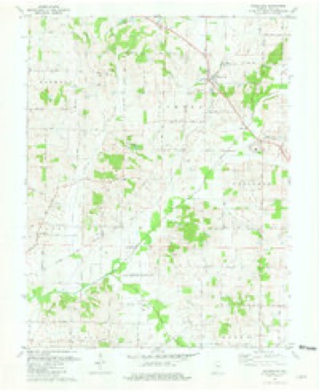
19 topographic sheets cover this place, the earliest surveyed in 1903 and the latest in 1986. It stands in Center Township. It lies in ZIP code area 47638. The Survey maps it on the Wadesville quadrangle. It stands 479 feet above sea level.
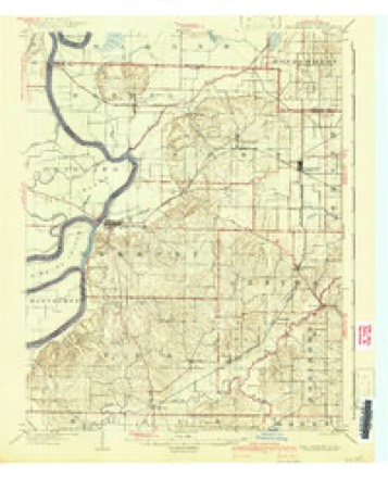
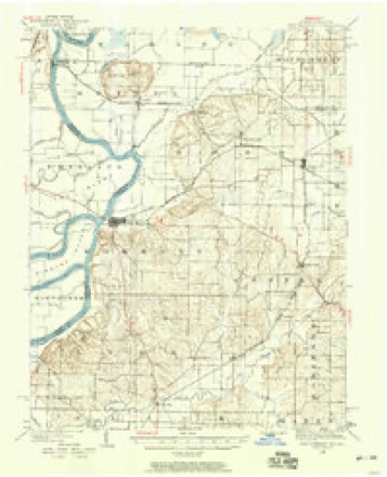
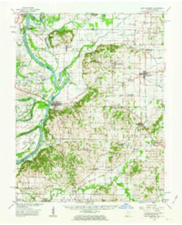
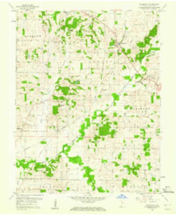
Topographic sheets covering this place
10 surveys from 19 printed sheetsMatched by testing this settlement's coordinate against the published boundary of every sheet in the United States Geological Survey's historical collection. Each opens the scanned sheet at the Survey.
- 1903 USGS New Harmony quadrangle1:62500, 3 printings
- 1903 USGS Patoka quadrangle1:125000, 2 printings
- 1938 USGS New Harmony quadrangle1:62500
- 1956 USGS Vincennes quadrangle1:250000, 4 printings
- 1957 USGS Vincennes quadrangle1:250000
- 1958 USGS Vincennes quadrangle1:250000, 2 printings
- 1959 USGS New Harmony quadrangle1:62500, 2 printings
- 1959 USGS Wadesville quadrangle1:24000
- 1981 USGS Wadesville quadrangle1:24000
- 1986 USGS Princeton quadrangle1:100000, 2 printings





In the county-history sources
124 words on this townshipHistory and Directory of Posey County [Indiana] : Containing an Account of the Early Settlement and Organization of the County ... : Also a Complete List of the Tax-payers, Their Post-office Addresses and Places of Residence, Together with a Business Directory of Mt. Vernon and New Harmony ... Also Biographical Sketches of Prominent Citizens of the County, published 1882 has no passage naming this settlement, which was common for smaller places. Its township is covered in full.
The chapter on Center Township covers the township.
Read the chapter on Center Township - 124 words.
Storms near this place
20 since 1996Regional context, not property-specific evidence. The National Weather Service names Wadesville in 20 storm reports between 1996 and 2024: 9 hail, 6 thunderstorm wind, 2 tornado, 2 flash flood. The reports record 1 injury. Each account below is quoted exactly as the forecast office filed it, from the NOAA Storm Events Database, and each date opens the federal record of that event.
| When | Event | Place named | Harm | What the report says |
|---|---|---|---|---|
| September 2002 | Tornado (F2) | Wadesville | 1 hurt, $500,000 | The tornado destroyed 10 mobile homes and four buildings. The greatest concentration of damage was on Highway 165 about 2 miles south of Poseyville. Peak winds were estimated around 130 MPH. Among the destroyed structures was a county highway garage. Eight vehicles were tossed, including a small van that was thrown onto a debris pile. One person was treated for a cut. |
| April 2024 | Tornado (EF2) | Wadesville | $150,000 | An EF-2 tornado struck far eastern portions of Posey County, IN, in the St. Wendel area. This tornado began by damaging an outbuilding on Spahn Rd. Significant roof damage occurred to a home on Will Rd, with several homes losing their entire roof on Saint Wendel Cynthiana Rd. The tornado crossed over to Vanderburgh County north of St. Wendel continuing all the way through Vanderburgh into Warrick County. Peak estimated wind gusts with this tornado as a whole and in Posey County were 120 mph. |
| June 2007 | Thunderstorm Wind | Wadesville | $10,000 | Trees were blown down, including one that fell on a house and another that fell across a road. |
| August 2019 | Thunderstorm Wind | Wadesville | $5,000 | Trees were blown down in the Wadesville area. |
| May 2015 | Thunderstorm Wind | Wadesville | $4,000 | A few trees were blown down onto roads from Griffin to the Wadesville area. One of the trees landed on Route 66. |
| June 1999 | Hail | Wadesville | $3,000 | Gusty winds with the storm also downed a tree across a road near Griffin. |
| April 2005 | Thunderstorm Wind | Wadesville | $2,000 | A trained spotter measured a wind gust to 60 MPH. Trees and fences were blown down along Route 66. |
| July 2004 | Flash Flood | Wadesville | $2,000 | At least two vehicles were stranded in floodwaters in the Wadesville area. Many reports of road flooding were received in the St. Wendel area. Several roads were still flooded after the rain ended, and two roads were temporarily closed. |
| May 2022 | Hail | Wadesville | - | At the North Posey High School just southwest of Poseyville, baseball size hail damaged cars. Near Wadesville, hail measuring 1.5 inches in diameter occurred at the intersection of Highways 66 and 165. |
| April 2008 | Flash Flood | Wadesville | - | About one dozen roads were closed due to high water. |
| June 2007 | Heavy Rain | Wadesville | - | Street flooding was reported. |
| April 2005 | Hail | Wadesville | - | Dime-size hail was reported in Wadesville, and one-inch hail fell at Poseyville. |
| November 2002 | Thunderstorm Wind | Wadesville | - | A wind gust to 64 MPH was measured by a spotter. |
| April 2017 | Hail | Wadesville | - | no account filed |
| May 2012 | Hail | Wadesville | - | no account filed |
| February 2012 | Hail | Wadesville | - | no account filed |
| September 2012 | Hail | Wadesville | - | no account filed |
| April 2009 | Hail | Wadesville | - | no account filed |
| May 2004 | Hail | Wadesville | - | no account filed |
| June 1996 | Thunderstorm Wind | Wadesville | - | no account filed |
Nearest settlements
The eight closest, with where each one stands in the county. Distances are straight-line, computed from the Geographic Names Information System coordinates.
| Map | Place | Distance | Sheets |
|---|---|---|---|
| Blairsville | 2.1 miles | 19 | |
| Hepburn | 2.4 miles | 19 | |
| Rapture | 4.5 miles | 21 | |
| Poseyville | 4.7 miles | 21 | |
| Oliver | 5.0 miles | 19 | |
| Parkers Settlement | 5.3 miles | 19 | |
| Springfield | 6.1 miles | 19 | |
| Stewartsville | 6.2 miles | 21 |
Elsewhere
Matched on this settlement's Geographic Names Information System number rather than its name, so it cannot be a different place of the same name in another state.
| Wikipedia article on Wadesville | An encyclopaedic summary. Its text is share-alike, so it is linked here rather than copied. |
| Wikidata item Q7959174 | The structured record the population and elevation above come from. Public domain (CC0). |
Provenance
This settlement is recorded in the Geographic Names Information System as feature 445343. The sheet list is computed by point-in-boundary test against the United States Geological Survey's historical topographic inventory. Both are works of the United States government and carry no copyright under 17 U.S.C. 105.
Storms. NOAA National Centers for Environmental Information, Storm Events Database https://www.ncei.noaa.gov/stormevents/ A work of the United States government, no copyright under 17 U.S.C. 105. Narratives are quoted verbatim from the National Weather Service report and are not edited or summarised.