 Block
Blue River, Indiana
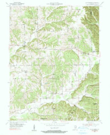
9 topographic sheets cover this place, the earliest surveyed in 1955 and the latest in 1990. It stands in Polk Township. It lies in ZIP code area 47165. It stands on Jeff Branch. The Survey maps it on the South Boston quadrangle.
Topographic sheets covering this place
5 surveys from 9 printed sheetsMatched by testing this settlement's coordinate against the published boundary of every sheet in the United States Geological Survey's historical collection. Each opens the scanned sheet at the Survey.
- 1955 USGS South Boston quadrangle1:24000, 4 printings
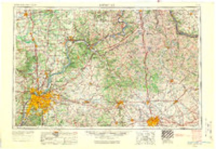
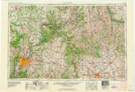
- 1956 USGS Louisville quadrangle1:250000, 2 printings
- 1964 USGS Louisville quadrangle1:250000
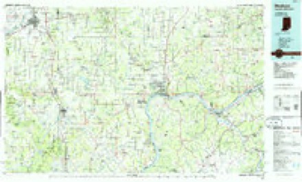
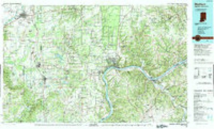
- 1986 USGS Madison quadrangle1:100000
- 1990 USGS Madison quadrangle1:100000
In the county-history sources
1,709 words on this townshipCentennial History of Washington County, Indiana : Its People, Industies and Institutions : with Biographical Sketches of Representative Citizens and Genealogical Records of Many of the Old Families, published 1916 names this settlement in its chapter on Polk Township. These are the passages that mention it, exactly as the scans read.
about 1830, in a little log house on section 14, on Blue river. People those days had little money, most of the bartering being done with jjelts and bacon. Harris Carter had a store as earh- as 1835 on the farm in later years 'owned by Eli Elrod. John Motsinger owned a store a short distance east of Farabee, which he operated for several years up to the close of the Civil War. Joel Wil.son had one about the same time near Zoar church. Butler \\'}:,tt had a store and operated the Blue River postoffice, in the east end of the ^ownship, for a number of years. After the building of the railroad through the township, in 1850, the country stores gave way to those started at Pekin and Farabee.
Passage source: Centennial History of Washington County, Indiana : Its People, Industies and Institutions : with Biographical Sketches of Representative Citizens and Genealogical Records of Many of the Old Families, published 1916.
Machine-read from a century-old scan, so expect the errors a machine makes: misspelled names, dropped words, stray characters.
Read the whole chapter on Polk Township - it names this place 1 more 1 time.
Storms near this place
2 since 2015Regional context, not property-specific evidence. The National Weather Service names Blue River in 2 storm reports between 2015 and 2021: 1 thunderstorm wind, 1 tornado. No death or injury is recorded in these reports. Each account below is quoted exactly as the forecast office filed it, from the NOAA Storm Events Database, and each date opens the federal record of that event.
| When | Event | Place named | Harm | What the report says |
|---|---|---|---|---|
| October 2021 | Tornado (EF0) | Blue River | - | The National Weather Service conducted two storm damage assessment surveys across eastern Washington County Indiana, from storms Friday evening October 15 around 1015 pm. The second survey came about from new reports of damage along the Blue River east of New Pekin. ||The initial touchdown was just west of Bethel Church Road near the Blue River. This consisted of concentrated softwood and some hardwood tree damage. Drone imagery showed more significant amounts of tree damage, with many maple, elm, and cedar trees uprooted and twisted. Fallen trees were facing in a north, northeasterly, easterly, and southeasterly direction. Wind speeds of 80 mph were fairly consistent within the track with a width of 70 yards.||The tornado lifted from time to time and was intermittent along the entire path.||The survey team found winds of 70 to 75 mph in a cyclonic manner across a very small portion of eastern Washington County near Pine Hill Lake. A very narrow area of tree and roof damage occurred just southwest of the lake with a width of 60 yards. Most of the tree damage happened at 30 to 70 feet off the ground.||Trees were facing to the north, northeast, and easterly direction. One car port had significant damage from large, 4-inch oak limbs falling on it. Minor roof damage occurred, including shingles and large limbs falling on a few homes. One tree fell on a homeowner's pick-up truck, resulting in significant damage.||More substantial wind damage occurred at 10850 East Blue River Road. A large jacuzzi was picked up and thrown 10 yards. The hot tub was not full of water but weighed a substantial amount. Cedar trees were snapped and twisted and numerous maple and sycamore trees were uprooted, snapped and twisted all across the property.||Drone footage showed trees going in multiple directions, especially from the north through southeasterly directions. Trees that were leaning were facing generally to the south. Wind speeds of 80 mph were fairly consistent within the track with a width of 70 yards. ||The tornado lifted on the very back edge of the wooded property at 10850 East Blue River Road. Overlaying radar imagery with the damage track showed that the damage was consistent around a cyclonic swirl, on a line segment within some heavy rain bands. |
| June 2015 | Thunderstorm Wind | Blue River | - | A law enforcement official reported trees down across the area. |
Nearest settlements
The eight closest, with where each one stands in the county. Distances are straight-line, computed from the Geographic Names Information System coordinates.
| Map | Place | Distance | Sheets |
|---|---|---|---|
| Daisy Hill | 1.6 miles | 9 | |
| Bartle | 3.5 miles | 9 | |
| Bunker Hill | 3.8 miles | 9 | |
| Old Pekin | 4.1 miles | 14 | |
| South Boston | 4.2 miles | 9 | |
| Farabee | 4.5 miles | 15 | |
| New Pekin | 4.5 miles | 15 | |
| Harristown | 6.5 miles | 15 |
Provenance
This settlement is recorded in the Geographic Names Information System as feature 431237. The sheet list is computed by point-in-boundary test against the United States Geological Survey's historical topographic inventory. Both are works of the United States government and carry no copyright under 17 U.S.C. 105.
Storms. NOAA National Centers for Environmental Information, Storm Events Database https://www.ncei.noaa.gov/stormevents/ A work of the United States government, no copyright under 17 U.S.C. 105. Narratives are quoted verbatim from the National Weather Service report and are not edited or summarised.