 Block
Mounts, Indiana
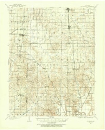
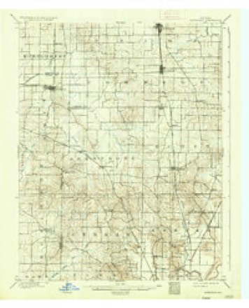
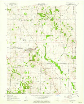
17 topographic sheets cover this place, the earliest surveyed in 1901 and the latest in 1986. It stands in Montgomery Township. It lies in ZIP code area 47665. The Survey maps it on the Cynthiana quadrangle.
Topographic sheets covering this place
8 surveys from 17 printed sheetsMatched by testing this settlement's coordinate against the published boundary of every sheet in the United States Geological Survey's historical collection. Each opens the scanned sheet at the Survey.
- 1901 USGS Haubstadt quadrangle1:62500
- 1903 USGS Haubstadt quadrangle1:62500, 2 printings
- 1903 USGS Patoka quadrangle1:125000, 2 printings
- 1956 USGS Vincennes quadrangle1:250000, 4 printings
- 1957 USGS Vincennes quadrangle1:250000
- 1958 USGS Vincennes quadrangle1:250000, 2 printings
- 1961 USGS Cynthiana quadrangle1:24000, 3 printings
- 1986 USGS Princeton quadrangle1:100000, 2 printings





In the county-history sources
7,349 words on this townshipHistory of Gibson County Indiana, published 1884 names this settlement in its chapter on Montgomery Township. These are the passages that mention it, exactly as the scans read.
In 1806 Thomas Sharp, Luke and William Wilcy, settled a short distance south of Owensville. The Wileys afterward moved down into Posey County, and one of them was lost ina storm and froze to death. Thomas Sharp remained here until his death, which occurred about sixty years ago. John Sharp, aged family now living. Mathias and Smith Mounts came to this territory about the same time. Smith Mounts, located in Section 24, Tp. 3, R. 12, where he resided until He was with Gen. Wayne, in the Indian wars, and at Tippecanoe. He was a fine marksman, and spent much of his time in hunting, during the first years of his settlement here. Of his family of eleven children, Smith and Thomas A., both residents of this township, are the only ones living. Garrard Mounts was quite a prominent man in the county; was an officer of militia, and at ove time county commissioner: He died in 1882. None of Mathias' Mounts' children are living in the county.
Passage source: History of Gibson County Indiana, published 1884.
The town contains five churches; the General Baptist and Regular Baptist are frame buildings, and the Cumberland Presbyterian and the Methodist are brick, all neat and well furnished houses of worship. The present two and a half story brick school-house was erected in 1876, at a cost of nearly $8,000. It has four rooms, two in each story. The school is graded and employs four teachers.
Passage source: History of Gibson County Indiana, published 1884.
_ or lakes situated in the northwestern part of the Township near the Wabash River, into which they have an outlet. They contain an abundant supply of good fish. The principal streams are the Wabash River at the north, Indian Creek and its affluents in the east, Black River, Martin's Branch and Obion Oreek in the south and Maumee Creek and its tributaries in the western and central portion of the township. These streams drain the lands and furnish a good supply of water for stock but among the very first arrivals was Thomas Montgomery, the pioneer of that numerous family now in Gibson County. Thomas Montgomery was the youngest of seven sons born to Hugh Montgomery, in Virginia, all of whom served in the Revolutionary War. In 1793 he emigrated to Kentucky, settling near Mt. Sterling, in the county that was afterward called in honor of his cousin of the famous David Crocket. In 1805, he left Kentucky and emigrated to the Indiana Territory, settling in the wilderness on the banks of Black River, in the southeast quarter of Section 13, Township 3 South, Range 12 West, where he built a rude log cabin and made his permanent home. He was a man of great endurance, was six feet in height, a great hunter, and one well fitted to endure the trials and hardships incident to pioneer life. His children were five sons, Hugh, Joseph, Thomas, Isaac, Walter, and three daughters, Polly, Jennie and Patsey. Hugh died in Kentucky, while a boy. Joseph, Thomas, Isaac, Polly who married Smith Mounts, Jennie the wife of Capt. Jacob Warrick, and Patsey whose husband was Robert McGary, were all country. Walter married Nancy Roberts after coming to the county and settled on the old place with his father. A year or two later Samuel Montgomery, a brother of Thomas Montgomery, the pioneer, emigrated to Indiana with his family, consisting of his wife and nine children, and settled just south of his brother in the same section. His wife's name was Polly McFarland, whom he married in Kentucky. The names of their children were Polly Swope, James, Robert, Benjamin, John, Samuel, Rachel Mounts, Dorcas Stone and Katie Alcorn.
Passage source: History of Gibson County Indiana, published 1884.
Machine-read from a century-old scan, so expect the errors a machine makes: misspelled names, dropped words, stray characters.
Read the whole chapter on Montgomery Township - it names this place 3 more 3 times.
Storms near this place
3 since 2018Regional context, not property-specific evidence. The National Weather Service names Mounts in 3 storm reports between 2018 and 2024: 1 thunderstorm wind, 1 flood, 1 tornado. No death or injury is recorded in these reports. Each account below is quoted exactly as the forecast office filed it, from the NOAA Storm Events Database, and each date opens the federal record of that event.
| When | Event | Place named | Harm | What the report says |
|---|---|---|---|---|
| July 2024 | Tornado (EF2) | Mounts | $350,000 | The third Southwest Indiana tornado on the afternoon of July 9th crossed into southern Gibson County from Posey County at W 1050 S. The tornado progressed northward and strengthened, breaking a power pole at W 925 S and removing the roof from an outbuilding along S 1075 W. A barn collapsed on W 850 S. The damage field broadened with the collapse of multiple farm buildings and a manufactured home where W 800 S meets S 1050 W. More damage occurred to the north with some portions of roads inaccessible. An outbuilding collapsed near a damaged roof on a home along IN-165. The tornado passed approximately 1.75 miles west of the KVWX radar outside Owensville. Roads were blocked off along IN-165 on the west side of Johnson due to additional damage. The tornado lifted after damaging crops and multiple outbuildings north of Johnson. Estimated peak winds for the Gibson County portion of the tornado, and the tornado as a whole, were 120 mph. |
| June 2018 | Thunderstorm Wind | Mounts | $350,000 | A microburst produced a long swath of damaging winds through much of southern Gibson County. The swath was as much as two miles wide in places. The damage was most intense and frequent in and near Fort Branch, where at least ten homes sustained mainly minor damage, with loss of shingles and other exterior covering. At least two barns were heavily damaged in the Fort Branch area. Several corn fields were blown down, with the stalks broken in some areas. Hundreds of trees were broken or uprooted, and several power lines were down. Numerous small sheds, signs, and other outbuildings were damaged. A semi truck was blown over on the south side of Fort Branch. The 25-mile long microburst began in northwest Posey County, then moved across southern Gibson County, where it became more intense and damaging. |
| August 2023 | Flood | Mounts | - | Water was over State Route 168 between Owensville and Fort Branch at the 2, 3, and 5 mile markers. |
Nearest settlements
The eight closest, with where each one stands in the county. Distances are straight-line, computed from the Geographic Names Information System coordinates.
| Map | Place | Distance | Sheets |
|---|---|---|---|
| Owensville | 3.0 miles | 23 | |
| Johnson | 3.9 miles | 23 | |
| Egg Harbor | 4.5 miles | 21 | |
| McGary | 4.7 miles | 23 | |
| Hickory Ridge | 6.7 miles | 19 | |
| Fort Branch | 6.8 miles | 24 | |
| Durham | 6.9 miles | 24 | |
| Haubstadt | 7.2 miles | 17 |
Provenance
This settlement is recorded in the Geographic Names Information System as feature 439783. The sheet list is computed by point-in-boundary test against the United States Geological Survey's historical topographic inventory. Both are works of the United States government and carry no copyright under 17 U.S.C. 105.
Storms. NOAA National Centers for Environmental Information, Storm Events Database https://www.ncei.noaa.gov/stormevents/ A work of the United States government, no copyright under 17 U.S.C. 105. Narratives are quoted verbatim from the National Weather Service report and are not edited or summarised.