 Block
Cynthiana, Indiana
17 topographic sheets cover this place, the earliest surveyed in 1901 and the latest in 1986. It stands in Smith Township. It lies in ZIP code area 47612. The Survey maps it on the Cynthiana quadrangle. 552 people lived here at the 2020 count. It stands 472 feet above sea level.
Population over time
2 figuresCynthiana grew from 545 to 552 between 2010 and 2020. These are the recorded population figures Wikidata holds for this place, reached through the Geographic Names Information System number this page is keyed on rather than by name, so they belong to this place and not to another of the same name. Most are census counts, but not all are: an early figure may be a founding or settlement estimate, and an estimate published within five years of a census is left out. The change column is computed, and is left blank where more than 20 years separate a figure from the one before it, because a gap that long is not a change between two counts.
| Year | People | Change |
|---|---|---|
| 2010 | 545 | |
| 2020 | 552 | +7 (+1%) |
Topographic sheets covering this place
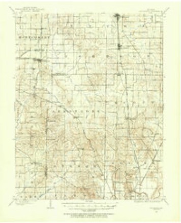
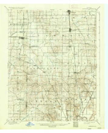
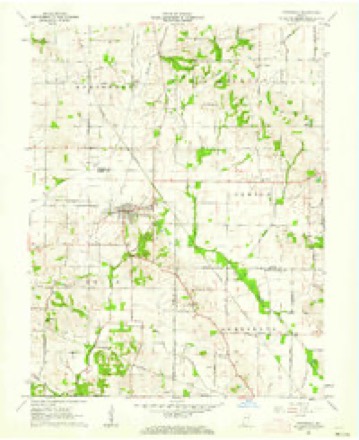
8 surveys from 17 printed sheetsMatched by testing this settlement's coordinate against the published boundary of every sheet in the United States Geological Survey's historical collection. Each opens the scanned sheet at the Survey.
- 1901 USGS Haubstadt quadrangle1:62500
- 1903 USGS Haubstadt quadrangle1:62500, 2 printings
- 1903 USGS Patoka quadrangle1:125000, 2 printings
- 1956 USGS Vincennes quadrangle1:250000, 4 printings
- 1957 USGS Vincennes quadrangle1:250000
- 1958 USGS Vincennes quadrangle1:250000, 2 printings
- 1961 USGS Cynthiana quadrangle1:24000, 3 printings
- 1986 USGS Princeton quadrangle1:100000, 2 printings





In the county-history sources
465 words on this townshipHistory and Directory of Posey County [Indiana] : Containing an Account of the Early Settlement and Organization of the County ... : Also a Complete List of the Tax-payers, Their Post-office Addresses and Places of Residence, Together with a Business Directory of Mt. Vernon and New Harmony ... Also Biographical Sketches of Prominent Citizens of the County, published 1882; History of Posey County, Indiana, published 1913 names this settlement in its chapter on Smith Township. These are the passages that mention it, exactly as the scans read.
E. & T. H. R. R. for an extension of its line from Owensville, in Gibson County, to Cynthiana, in that township, in 1880. The number of acres of land cultivated in Smith in 1880 was 5,897, the production of wheat averaging fifteen, while the yield of corn was thirty-five bushels per acre for that year.
Smith township at the time of its organization, March 24, 1817, by the board of county commissioners, included, in addition to its present area, additional territory which has since become parts of Gibson and Warrick counties and Lynn township.
Passage source: History of Posey County, Indiana, published 1913.
Ford Robinson built a cotton gin about 1825, but cotton soon became cheap and people stopped raising cotton. But during the Rebellion cotton reached such a high price that people began raising it again, and Elisha Jones built and operated a cotton gin.
Passage source: History of Posey County, Indiana, published 1913.
Machine-read from a century-old scan, so expect the errors a machine makes: misspelled names, dropped words, stray characters.
Storms near this place
4 since 2002Regional context, not property-specific evidence. The National Weather Service names Cynthiana in 4 storm reports between 2002 and 2022: 2 thunderstorm wind, 1 tornado, 1 hail. No death or injury is recorded in these reports. Each account below is quoted exactly as the forecast office filed it, from the NOAA Storm Events Database, and each date opens the federal record of that event.
| When | Event | Place named | Harm | What the report says |
|---|---|---|---|---|
| May 2011 | Tornado (EF2) | Cynthiana | $40,000 | The tornado started north of St. Wendell, where trees were damaged along with a machine shed. As it moved across Highway 65, high-tension power lines were taken down. Peak winds were estimated near 125 mph. The tornado continued moving northeast into Vanderburgh County. |
| May 2004 | Thunderstorm Wind | Cynthiana | $30,000 | A 50-by-75 foot pole barn was destroyed. |
| June 2002 | Thunderstorm Wind | Cynthiana | $10,000 | Roofs were blown off two garage type structures. An empty silo was destroyed. Several large trees were blown down. |
| May 2022 | Hail | Cynthiana | - | no account filed |
Nearest settlements
The eight closest, with where each one stands in the county. Distances are straight-line, computed from the Geographic Names Information System coordinates.
| Map | Place | Distance | Sheets |
|---|---|---|---|
| Poseyville | 4.0 miles | 21 | |
| Stewartsville | 6.5 miles | 21 | |
| Wadesville | 7.1 miles | 19 | |
| Rapture | 7.4 miles | 21 | |
| Blairsville | 8.0 miles | 19 | |
| Barrett | 8.5 miles | 21 | |
| Hepburn | 9.4 miles | 19 | |
| Parkers Settlement | 9.7 miles | 19 |
Elsewhere
Matched on this settlement's Geographic Names Information System number rather than its name, so it cannot be a different place of the same name in another state.
| Wikipedia article on Cynthiana | An encyclopaedic summary. Its text is share-alike, so it is linked here rather than copied. |
| Wikidata item Q2325349 | The structured record the population and elevation above come from. Public domain (CC0). |
Provenance
This settlement is recorded in the Geographic Names Information System as feature 433272. The sheet list is computed by point-in-boundary test against the United States Geological Survey's historical topographic inventory. Both are works of the United States government and carry no copyright under 17 U.S.C. 105.
Storms. NOAA National Centers for Environmental Information, Storm Events Database https://www.ncei.noaa.gov/stormevents/ A work of the United States government, no copyright under 17 U.S.C. 105. Narratives are quoted verbatim from the National Weather Service report and are not edited or summarised.