 Block
Deacon, Indiana
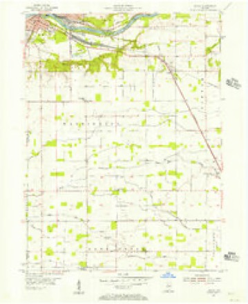
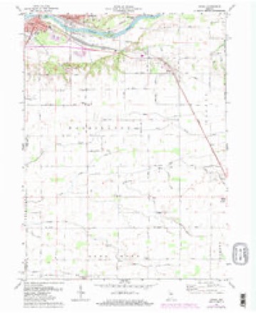
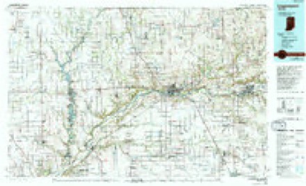
11 topographic sheets cover this place, the earliest surveyed in 1953 and the latest in 1985. It stands in Deer Creek Township. It lies in ZIP code area 46994. The Survey maps it on the Anoka quadrangle. It stands 748 feet above sea level.
Topographic sheets covering this place
6 surveys from 11 printed sheetsMatched by testing this settlement's coordinate against the published boundary of every sheet in the United States Geological Survey's historical collection. Each opens the scanned sheet at the Survey.
- 1953 USGS Danville quadrangle1:250000, 3 printings
- 1955 USGS Anoka quadrangle1:24000
- 1955 USGS Danville quadrangle1:250000
- 1956 USGS Danville quadrangle1:250000
- 1972 USGS Anoka quadrangle1:24000, 3 printings
- 1985 USGS Logansport quadrangle1:100000, 2 printings



In the county-history sources
1,262 words on this townshipHistory of Cass County, Indiana, published 1878 has no passage naming this settlement, which was common for smaller places. Its township is covered in full.
The chapter on Deer Creek Township covers the township.
Read the chapter on Deer Creek Township - 1,262 words.
Storms near this place
4 since 2010Regional context, not property-specific evidence. The National Weather Service names Deacon in 4 storm reports between 2010 and 2024: 2 tornado, 2 thunderstorm wind. The reports record 1 injury. Each account below is quoted exactly as the forecast office filed it, from the NOAA Storm Events Database, and each date opens the federal record of that event.
| When | Event | Place named | Harm | What the report says |
|---|---|---|---|---|
| June 2010 | Tornado (EF1) | Deacon | 1 hurt, $125,000 | This tornado developed in eastern Carroll County, Indiana, roughly four miles east-southeast of Burrows (see Storm Data for Indiana, Central) and moved into Cass County. The tornado initially was over open fields with its first impact at a residence where the western half of the roof was ripped off and the eastern half picked up and then dropped back down. Two residents were attempting to take shelter when the tornado hit. A gentleman suffered minor injuries (indirect) falling down a stairway into a basement seeking shelter. The tornado continued east-southeast over mainly open field again until it encountered a more populated area of structures along E County Road 900 S, east of S County Road 300 E. Several trees were damaged or uprooted in the area with the western half of a business being destroyed by the circulation. The circulation moved on to strike and roll a mobile home, destroying it (DI: SWMH DOD: 7). The second injury (direct) in the area occurred here where the resident was rolled with the mobile home. The female resident escaped with minor injuries. The circulation continued on causing some structure and tree damage before dissipating. The maximum width is estimated at 150 yards with a maximum wind speed estimated around 100 mph. |
| May 2024 | Thunderstorm Wind | Deacon | $500 | Large branches down onto E 1150 S. |
| July 2017 | Tornado (EF1) | Deacon | - | A NWS survey of the area confirmed the touchdown of a tornado in Carroll county, which tracked east into Cass county. Most of the damage was confined to crops along the path. However, several trees were blown down off of S County Road 125 E and 200 E. A poorly anchored smaller barn was destroyed with a nearby larger barn suffering metal roofing damage. A home in the area also suffered minor damage. Maximum winds were estimated at around 95 mph. |
| November 2011 | Thunderstorm Wind | Deacon | - | Emergency management officials estimated thunderstorm wind gusts of around 60 mph. |
Nearest settlements
The eight closest, with where each one stands in the county. Distances are straight-line, computed from the Geographic Names Information System coordinates.
| Map | Place | Distance | Sheets |
|---|---|---|---|
| Poundstone Corner | 1.1 miles | 11 | |
| Walton | 4.4 miles | 12 | |
| Young America | 4.8 miles | 9 | |
| Lincoln | 5.8 miles | 10 | |
| Anoka | 6.3 miles | 11 | |
| Onward | 7.7 miles | 12 | |
| Galveston | 7.7 miles | 10 | |
| Potawatomi Point | 7.9 miles | 11 |
Elsewhere
Matched on this settlement's Geographic Names Information System number rather than its name, so it cannot be a different place of the same name in another state.
| Wikipedia article on Deacon | An encyclopaedic summary. Its text is share-alike, so it is linked here rather than copied. |
| Wikidata item Q5245010 | The structured record the population and elevation above come from. Public domain (CC0). |
Provenance
This settlement is recorded in the Geographic Names Information System as feature 433385. The sheet list is computed by point-in-boundary test against the United States Geological Survey's historical topographic inventory. Both are works of the United States government and carry no copyright under 17 U.S.C. 105.
Storms. NOAA National Centers for Environmental Information, Storm Events Database https://www.ncei.noaa.gov/stormevents/ A work of the United States government, no copyright under 17 U.S.C. 105. Narratives are quoted verbatim from the National Weather Service report and are not edited or summarised.