 Block
Young America, Indiana
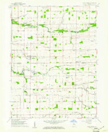
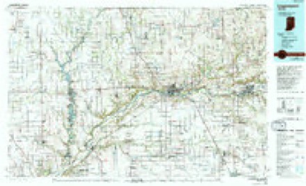
9 topographic sheets cover this place, the earliest surveyed in 1953 and the latest in 1985. It stands in Deer Creek Township. It lies in ZIP code area 46998. The Survey maps it on the Young America quadrangle. It stands 764 feet above sea level.
Topographic sheets covering this place
5 surveys from 9 printed sheetsMatched by testing this settlement's coordinate against the published boundary of every sheet in the United States Geological Survey's historical collection. Each opens the scanned sheet at the Survey.
- 1953 USGS Danville quadrangle1:250000, 3 printings
- 1955 USGS Danville quadrangle1:250000
- 1956 USGS Danville quadrangle1:250000
- 1959 USGS Young America quadrangle1:24000, 2 printings
- 1985 USGS Logansport quadrangle1:100000, 2 printings



In the county-history sources
1,262 words on this townshipHistory of Cass County, Indiana, published 1878 names this settlement in its chapter on Deer Creek Township. These are the passages that mention it, exactly as the scans read.
On a certain day in the latter part of the year named above, Mr. Johnson, having been on business a short distance from Young America (his home), was returning thither, when he was met, about a mile west of said village, by three men in a spring wagon, who claimed to have some machinery which they were very desirous that he (Johnson) should examine. While preparations were being made for showing said machinery, Mr. J. suddenly received a heavy blow on the head, which no doubt was intended by the giver to be a fatal one, the effect of which was to render him unconscious for many hours. When consciousness returned, Mr. Johnson found himself in a hollow log. From this, after much difficulty, he extricated himself, and finally succeeded in reaching a house where he was cared for, and sot.-n taken to his home. For some time he lay in a critical condition, but finally recovered. At the time the assault was made, Mr. John¬ son was supposed to have considerable money in his possession. Sev¬ eral arrests have been made, but in each case the parties arrested have successfully proved their innocence.
Passage source: History of Cass County, Indiana, published 1878.
Machine-read from a century-old scan, so expect the errors a machine makes: misspelled names, dropped words, stray characters.
Read the whole chapter on Deer Creek Township - it names this place 1 more 1 time.
Storms near this place
5 since 2010Regional context, not property-specific evidence. The National Weather Service names Young America in 5 storm reports between 2010 and 2024: 2 flash flood, 2 thunderstorm wind, 1 tornado. No death or injury is recorded in these reports. Each account below is quoted exactly as the forecast office filed it, from the NOAA Storm Events Database, and each date opens the federal record of that event.
| When | Event | Place named | Harm | What the report says |
|---|---|---|---|---|
| July 2017 | Flash Flood | Young America | $500,000 | Three to five inches of rain fell onto already saturated ground in the span of a few hours, resulting in rapid rises on several creeks, streams and ditches in southern parts of the county, especially from County Road 300 S down to the Howard county line. Rock and Paint Creeks as well as Tolen ditch were impacted the most with numerous roads closed due to 1 to 3 feet of flowing water over bridges. In addition, the extensive amount of water was flowing over several roads where generally flat terrain existed. Water depth approached 6 inches in spots. Emergency management officials reported at least 2 roads washed out and 1 bridge collapse. State Road 29 between Highway 218 and 18, Highway 18 between State Route 29 and US 35, Highway 218 between Highway 29 and US 35, US 35 at Anoka all closed due to high flowing water on the roads. Flooding issues continued well into the 12th, despite no further rainfall occurring. Damage amounts likely exceeded a million dollars, but no exact figures were available. |
| May 2024 | Thunderstorm Wind | Young America | $5,000 | Tree down onto powerlines on E 1300 S. |
| May 2024 | Thunderstorm Wind | Young America | $5,000 | Several trees snapped and limbs down near a home on 12000 S CR 300 E. |
| November 2013 | Tornado (EF3) | Young America | - | An extensive NWS damage survey indicated a tornado briefly reached low end EF-3 intensity southeast of Lafayette continued through Tippecanoe and Carroll counties (see Storm Data for Central Indiana), crossing into Cass county just north of the intersection of County Road 1400 South and the Carroll/Cass county line. The tornado remained over mainly open fields until moving near a residence on County Road 150 East, south of 1250 South where a home had its chimney blown off and a barn on the property suffered a blown out wall. The tornado continued northeast and cause minor shingle damage to three homes on County Road 1250, west of County Road 300 East. A small barn was destroyed with debris thrown into an adjacent field. The tornado briefly intensified as it entered a grove of trees north of County Road 1200 South and west of 400 East where every tree for the first 100 feet was snapped five to ten feet above the base (DI: TH DOD: 4). The tornado remained over mainly open fields, occasionally causing minor tree damage until crossing US 35 north of County Road 1000 S where power poles were broken (DI: ETL DOD: 4). The tornado quickly lifted a few miles southwest of the Grissom Air Reserve Base. A maximum intensity of EF2 was reached while in Cass county, with estimated winds of 120 mph. |
| June 2010 | Flash Flood | Young America | - | The local newspaper reported that flooding was observed across the southern part of Cass County. Water 6 to 8 inches deep was flowing over several roads and small creeks and streams went over their banks from several inches of rain on already saturated ground. |
Nearest settlements
The eight closest, with where each one stands in the county. Distances are straight-line, computed from the Geographic Names Information System coordinates.
Elsewhere
Matched on this settlement's Geographic Names Information System number rather than its name, so it cannot be a different place of the same name in another state.
| Wikipedia article on Young America | An encyclopaedic summary. Its text is share-alike, so it is linked here rather than copied. |
| Wikidata item Q8057903 | The structured record the population and elevation above come from. Public domain (CC0). |
Provenance
This settlement is recorded in the Geographic Names Information System as feature 446410. The sheet list is computed by point-in-boundary test against the United States Geological Survey's historical topographic inventory. Both are works of the United States government and carry no copyright under 17 U.S.C. 105.
Storms. NOAA National Centers for Environmental Information, Storm Events Database https://www.ncei.noaa.gov/stormevents/ A work of the United States government, no copyright under 17 U.S.C. 105. Narratives are quoted verbatim from the National Weather Service report and are not edited or summarised.