 Block
Dead Mans Crossing, Indiana
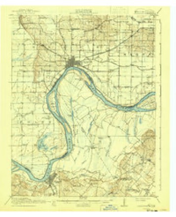
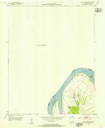
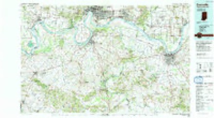
19 topographic sheets cover this place, the earliest surveyed in 1917 and the latest in 1991. It stands in Black Township. It lies in ZIP code area 47620. The Survey maps it on the Mount Vernon quadrangle.
Topographic sheets covering this place
9 surveys from 19 printed sheetsMatched by testing this settlement's coordinate against the published boundary of every sheet in the United States Geological Survey's historical collection. Each opens the scanned sheet at the Survey.
- 1917 USGS Uniontown quadrangle1:62500, 6 printings
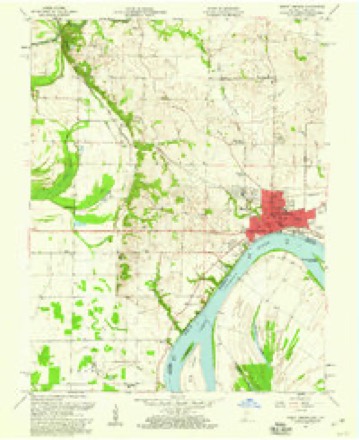
- 1952 USGS Mount Vernon quadrangle1:24000, 2 printings
- 1954 USGS Evansville quadrangle1:250000
- 1957 USGS Evansville quadrangle1:250000, 3 printings
- 1957 USGS Mount Vernon quadrangle1:24000, 2 printings
- 1961 USGS Evansville quadrangle1:250000, 2 printings
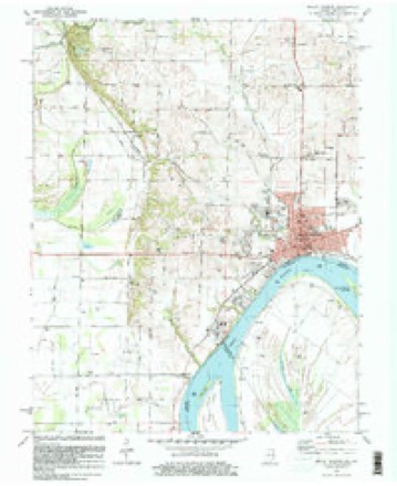
- 1981 USGS Mount Vernon quadrangle1:24000
- 1986 USGS Evansville quadrangle1:100000
- 1991 USGS Evansville quadrangle1:100000
In the county-history sources
35,592 words on this townshipHistory and Directory of Posey County [Indiana] : Containing an Account of the Early Settlement and Organization of the County ... : Also a Complete List of the Tax-payers, Their Post-office Addresses and Places of Residence, Together with a Business Directory of Mt. Vernon and New Harmony ... Also Biographical Sketches of Prominent Citizens of the County, published 1882; History of Posey County, Indiana : from the Earliest Times to the Present, with Biographical Sketches, Reminiscences, Notes, Etc. : Together with an Extended History of the Northwest, the Indiana Territory, and the State of Indiana, published 1886; History of Posey County, Indiana, published 1913 has no passage naming this settlement, which was common for smaller places. Its township is covered in full.
The chapter on Black Township covers the township.
Read the chapter on Black Township - 35,592 words.
Mines and quarries near this place
1 within 5 milesRegional context, not property-specific evidence. The federal mineral resources record lists 1 working within 5 miles of Dead Mans Crossing: 1 producer. All of them still produce. What was taken out: Stone. Distance is straight-line from the map coordinates, so a quarry counted here may appear on a neighbouring settlement's page as well.
| Where | Site | Commodity | Status | Recorded |
|---|---|---|---|---|
| Posey Co. Hwy. Dept. | Stone | Producer |
Nearest settlements
The eight closest, with where each one stands in the county. Distances are straight-line, computed from the Geographic Names Information System coordinates.
| Map | Place | Distance | Sheets |
|---|---|---|---|
| Erwin | 1.6 miles | 19 | |
| Farmersville | 1.6 miles | 19 | |
| Mount Vernon | 1.9 miles | 19 | |
| Upton | 2.9 miles | 19 | |
| Grafton | 3.8 miles | 21 | |
| Bufkin | 3.9 miles | 18 | |
| Solitude | 3.9 miles | 21 | |
| Prairie | 4.7 miles | 19 |
Elsewhere
Matched on this settlement's Geographic Names Information System number rather than its name, so it cannot be a different place of the same name in another state.
| Wikidata item Q122568809 | The structured record the population and elevation above come from. Public domain (CC0). |
Provenance
This settlement is recorded in the Geographic Names Information System as feature 433387. The sheet list is computed by point-in-boundary test against the United States Geological Survey's historical topographic inventory. Both are works of the United States government and carry no copyright under 17 U.S.C. 105.
Mines and quarries. USGS Mineral Resources Data System (MRDS) https://mrdata.usgs.gov/mrds/ A work of the United States government, no copyright under 17 U.S.C. 105.