 Block
Prairie, Indiana
19 topographic sheets cover this place, the earliest surveyed in 1917 and the latest in 1991. It stands in Black Township. It lies in ZIP code area 47620. It stands on Pitcher Creek. The Survey maps it on the Mount Vernon quadrangle.
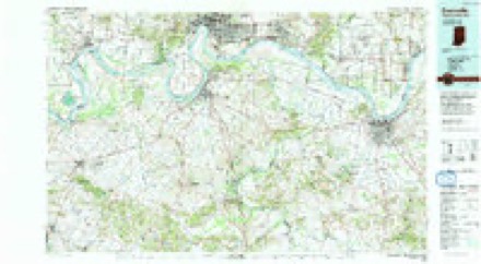
Topographic sheets covering this place
9 surveys from 19 printed sheetsMatched by testing this settlement's coordinate against the published boundary of every sheet in the United States Geological Survey's historical collection. Each opens the scanned sheet at the Survey.
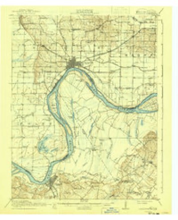
- 1917 USGS Uniontown quadrangle1:62500, 6 printings
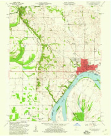
- 1952 USGS Mount Vernon quadrangle1:24000, 2 printings
- 1954 USGS Evansville quadrangle1:250000
- 1957 USGS Evansville quadrangle1:250000, 3 printings
- 1957 USGS Mount Vernon quadrangle1:24000, 2 printings
- 1961 USGS Evansville quadrangle1:250000, 2 printings
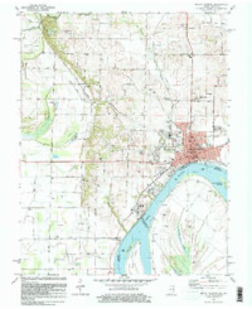
- 1981 USGS Mount Vernon quadrangle1:24000
- 1986 USGS Evansville quadrangle1:100000
- 1991 USGS Evansville quadrangle1:100000
In the county-history sources
35,592 words on this townshipHistory of Posey County, Indiana : from the Earliest Times to the Present, with Biographical Sketches, Reminiscences, Notes, Etc. : Together with an Extended History of the Northwest, the Indiana Territory, and the State of Indiana, published 1886 names this settlement in its chapter on Black Township. These are the passages that mention it, exactly as the scans read.
This township was not reduced to its present limits with its present name until March 13, 1822. It was named in honor of the Black family who came fi-om North Carolina in 1806 and settled a short distance northwest of Mount Vernon.
Passage source: History of Posey County, Indiana : from the Earliest Times to the Present, with Biographical Sketches, Reminiscences, Notes, Etc. : Together with an Extended History of the Northwest, the Indiana Territory, and the State of Indiana, published 1886.
William Henry Harrison entered a portion of the land on which the city of Mount Vernon now stands. His claim called for 317 acres of Section 8. This claim he tried to sell to James Black, but he refused to buy because one of the McFaddin's had squatted on the land and refused to yield possession. Harrison afterward sold the land to Aaron "Williams, of Big Prairie, 111., for a horse and some money borrowed of James Black.
Passage source: History of Posey County, Indiana : from the Earliest Times to the Present, with Biographical Sketches, Reminiscences, Notes, Etc. : Together with an Extended History of the Northwest, the Indiana Territory, and the State of Indiana, published 1886.
The schools of Mount Vernon were properly brought to a system under Prof. A. J. Snoke, who was the first superintendent. He began his work in 1870. The school buildings are named respectively: High School, East Ward, West Ward and Seminary (colored school). The high school building was erected in 1868 at a <!ostof about $17,000. The east and the west building were erected 1869 at a cost of $5,500 each. The other superintendents have been N. E. Clark and Davis. In 1882 Prof. P. P. Stultz took charge of the schools, under whose management they have been very successful. The h^h school course requires three years to complete. The teachers for the school year of 1885-86 are P. P. Stultz, superintendent; Chris Menmann, assistant superintendent and teacher of German ; O. S. Levell, principal of high school ; E. O. Oavanah, principal of West Ward; P. D. Alexander of the East Ward and Ollie Cooper, principal of colored school, with Gertrude Bland assistant and teacher; intermediate teachers are Mary Brown and Alice Howard ; primary teachers are Emma Khine, Sallie Whitworth, Mary P. Jaquees, Etta Larkin, Jennie Lichtenberger, Julia Abbott, and Nannie Foshee. The following graduated in 1883 : Jennie Lichtenberger, Miss Loveland, Julia Schisley. Rose Armhuster, Jessie Spencer, Mabel Thomas, Belle Fuhrer, ZeUa Harris, Emma Rhine, Sherman Carr, Minnie Sullivan, and Nora Woody. There were no graduates for 1884; for 1885 there are Mamie Dunn and Cora Duckworth.
Passage source: History of Posey County, Indiana : from the Earliest Times to the Present, with Biographical Sketches, Reminiscences, Notes, Etc. : Together with an Extended History of the Northwest, the Indiana Territory, and the State of Indiana, published 1886.
Machine-read from a century-old scan, so expect the errors a machine makes: misspelled names, dropped words, stray characters.
Read the whole chapter on Black Township - it names this place 1 more 1 time.
Mines and quarries near this place
3 within 5 milesRegional context, not property-specific evidence. The federal mineral resources record lists 3 workings within 5 miles of Prairie: 2 past producers, 1 producer. 1 still produces. What was taken out: Sand and Gravel, Construction, Stone. Distance is straight-line from the map coordinates, so a quarry counted here may appear on a neighbouring settlement's page as well.
| Where | Site | Commodity | Status | Recorded |
|---|---|---|---|---|
| Posey Co. Hwy. Dept. | Stone | Producer | ||
| Mcdonald Sand & Gravel | Sand and Gravel, Construction | Past Producer | ||
| Mcdonald Sand and Gravel Co. Pit | Sand and Gravel, Construction | Past Producer |
Nearest settlements
The eight closest, with where each one stands in the county. Distances are straight-line, computed from the Geographic Names Information System coordinates.
| Map | Place | Distance | Sheets |
|---|---|---|---|
| Hovey | 2.9 miles | 19 | |
| Upton | 3.2 miles | 19 | |
| Dead Mans Crossing | 4.7 miles | 19 | |
| Mount Vernon | 4.7 miles | 19 | |
| Erwin | 5.2 miles | 19 | |
| Grafton | 5.7 miles | 21 | |
| Welborn Switch | 6.0 miles | 11 | |
| Farmersville | 6.1 miles | 19 |
Provenance
This settlement is recorded in the Geographic Names Information System as feature 441532. The sheet list is computed by point-in-boundary test against the United States Geological Survey's historical topographic inventory. Both are works of the United States government and carry no copyright under 17 U.S.C. 105.
Mines and quarries. USGS Mineral Resources Data System (MRDS) https://mrdata.usgs.gov/mrds/ A work of the United States government, no copyright under 17 U.S.C. 105.