 Block
Georgetown, Indiana
14 topographic sheets cover this place, the earliest surveyed in 1939 and the latest in 1986. It stands in Georgetown Township. It lies in ZIP code area 47122. The Survey maps it on the Georgetown quadrangle. 3,805 people lived here at the 2020 count.
On record in Georgetown
Buildings and businesses the archive holds for this place. Each opens its own page, with the source record it came from.
On the National Register 2 records
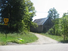 Beard-Kerr Farmlisted 2012
 Georgetown Historic Districtlisted 2013
Population over time
2 figuresGeorgetown grew from 2,876 to 3,805 between 2010 and 2020. These are the recorded population figures Wikidata holds for this place, reached through the Geographic Names Information System number this page is keyed on rather than by name, so they belong to this place and not to another of the same name. Most are census counts, but not all are: an early figure may be a founding or settlement estimate, and an estimate published within five years of a census is left out. The change column is computed, and is left blank where more than 20 years separate a figure from the one before it, because a gap that long is not a change between two counts.
| Year | People | Change |
|---|---|---|
| 2010 | 2,876 | |
| 2020 | 3,805 | +929 (+32%) |
Topographic sheets covering this place
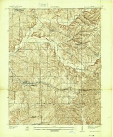
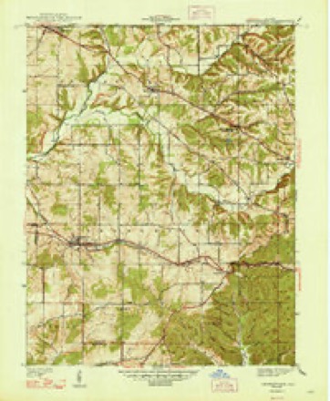
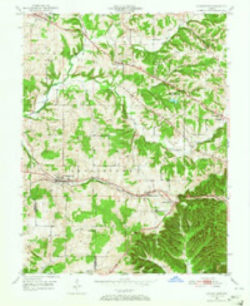
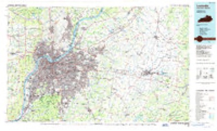
8 surveys from 14 printed sheetsMatched by testing this settlement's coordinate against the published boundary of every sheet in the United States Geological Survey's historical collection. Each opens the scanned sheet at the Survey.
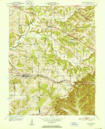
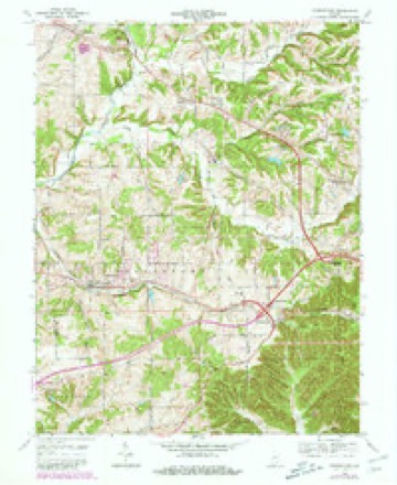
- 1939 USGS Georgetown quadrangle1:24000
- 1947 USGS Georgetown quadrangle1:24000, 2 printings
- 1949 USGS Georgetown quadrangle1:24000
- 1952 USGS Georgetown quadrangle1:24000
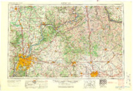
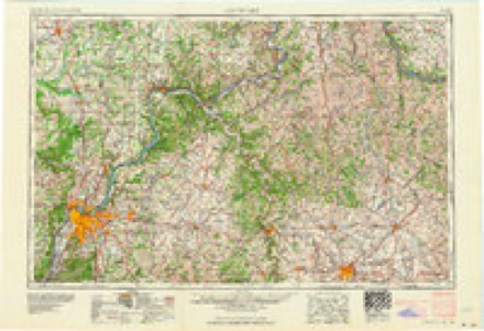
- 1956 USGS Louisville quadrangle1:250000, 2 printings
- 1964 USGS Louisville quadrangle1:250000
- 1966 USGS Georgetown quadrangle1:24000, 4 printings
- 1986 USGS Louisville quadrangle1:100000, 2 printings
Mines and quarries near this place
2 within 5 milesRegional context, not property-specific evidence. The federal mineral resources record lists 2 workings within 5 miles of Georgetown: 2 occurrences. None of them still produces. What was taken out: Fluorine-Fluorite. Distance is straight-line from the map coordinates, so a quarry counted here may appear on a neighbouring settlement's page as well.
| Where | Site | Commodity | Status | Recorded |
|---|---|---|---|---|
| Fluorite Occurrence #1 | Fluorine-Fluorite | Occurrence | ||
| Fluorite Occurrence #1 | Fluorine-Fluorite | Occurrence |
Storms near this place
36 since 1995Regional context, not property-specific evidence. The National Weather Service names Georgetown in 36 storm reports between 1995 and 2025: 14 thunderstorm wind, 10 hail, 5 tornado, 3 flash flood. No death or injury is recorded in these reports. Each account below is quoted exactly as the forecast office filed it, from the NOAA Storm Events Database, and each date opens the federal record of that event.
| When | Event | Place named | Harm | What the report says |
|---|---|---|---|---|
| May 2004 | Tornado (F1) | Georgetown | $500,000 | The tornado fist touched down near Georgetown in extreme western Floyd County. It moved east southeast nearly parallel to Indiana Highway 64. The tornado lifted near the Highway 64 interchange with Interstate 64, near Edwardsville. It reached its maximum intensity in the vicinity of Georgetown, where some F1 roof damage was noted. The tornado damaged approximately 25 homes in the Georgetown and Edwardsville areas, but most remained habitable. There was extensive damage to a few commercial buildings and businesses. There was extensive tree damage along Indiana Highway 64 between Georgetown and Edwardsville. |
| June 2018 | Thunderstorm Wind | Georgetown | $20,000 | Local media reported roof damage to a horse paddock due to severe thunderstorm winds. |
| April 2006 | Lightning | Georgetown | $5,000 | A house was set on fire by a lightning strike. Damage was unspecified. |
| September 1997 | Thunderstorm Wind | Georgetown | $5,000 | A large tree was down across a mobile home along state road 64, while several other trees were done in the Georgetown area. |
| October 1996 | Thunderstorm Wind | Georgetown | $500 | no account filed |
| December 2025 | Thunderstorm Wind | Georgetown | - | A tree fell on power lines. |
| April 2024 | Tornado (EF0) | Georgetown | - | The National Weather Service in Louisville conducted a damage assessment survey of a tornado that started at a property off of Hidden Springs Drive in far eastern Harrison County, Indiana and ended near Watts Road, just south of Georgetown, in Floyd County. Video clearly showed the tornado touching down multiple times. In Harrison County the tornado was rated EF1, but in Floyd County it was rated EF0. ||As the tornado crossed Georgetown County Line Road into Floyd County, there was an uptick in how widespread the damage was, and the damage was slightly more impressive with a few large branches being snapped.||Between Old Lanesville Road and Georgetown Lanesville Road, scattered tree damage continued with a large tree being uprooted. Several compromised trees were brought down too. An eyewitness that was on Georgetown Lanesville Road during the storm said she saw a finger of a tornado touch down at a house on that road before lifting. She didn't see the tornado touch down again. ||The last of the damage was found off of Watts Road. A house just west of the road had damage to its gutter covers. Just east of the road, minor tree damage was observed. |
| September 2024 | Thunderstorm Wind | Georgetown | - | A tree was blown down on Hamby Road near the intersection with Cooks Mill Road. |
| May 2023 | Tornado (EF1) | Georgetown | - | At 3424 Hamby Road, several trees were snapped and uprooted. Trees were facing from the east northeast to a southeasterly direction. Branches from the trees were scattered from the northeast to the southeast direction. An outbuilding had some siding and gutter damage. Of particular note was a large, healthy red oak tree that was uprooted with a significant root ball, which hit the far corner of the neighbor's house, doing structural damage to the roof and gutters. | The vast majority of the damage was to the trees, and just off the ground. The tornado topped a few trees at the edge of their property by the forested area, before lifting. Wind speeds of 90 mph were estimated, with a width of 100 yards, across this very short tornado track. |
| May 2023 | Tornado (EF0) | Georgetown | - | The tornado first touched down on the northwest portion of the Brookside subdivision (near the eastern portion of Georgetown Lake), with a couple larger branches of two older compromised trees twisted off. The Brookside subdivision is located just south of Indiana Route 64 and just east of Baylor Wissman Rd. There were over a dozen homes sustaining shingle, soffit, gutter, and fascia damage with many tarps on roofs. Shingles were thrown from an east northeasterly direction to a east southeasterly direction. There was little if any tree damage inside the subdivision, with one playground lifted and thrown into a fence. Drone photography showed the vast majority of the damage was to shingles and to soffits. The damage was estimated to be EF0 with 80 mph winds. The last damage point was in a wooded area just east of Zachary Trail before interstate 64. One tree was topped in that grove of trees. |
| August 2022 | Flash Flood | Georgetown | - | State Road 64 was shut down due to water flowing over the roadway. |
| April 2017 | Flood | Georgetown | - | State officials reported many roads still impassable across the county. The hardest hit area was Georgetownn and Greenville area where a swift water rescue was reported. |
| May 2016 | Hail | Georgetown | - | A trained spotter reported penny sized hail. |
| April 2015 | Flood | Georgetown | - | State officials reported high water flowing over numerous roads in the county. Between 2 and 3 inches of rain fell, the highest amounts across the northern portions. |
| April 2013 | Hail | Georgetown | - | The public reported 1 inch hail near Georgetown. |
| April 2011 | Heavy Rain | Georgetown | - | A CoCoRaHS spotter reported 2.83 inches of rain with 0.51 inches falling in 20 minutes. |
| August 2011 | Thunderstorm Wind | Georgetown | - | Several trees fell across Georgetown. Fallen power lines briefly closed Kepley and Cook's Mill Roads. |
| June 2010 | Thunderstorm Wind | Georgetown | - | Winds of 45-50 mph sustained with estimated gusts to 60 mph were observed with the gust front ahead of the storms. The leading edge of the storm had a pronounced curve. |
| June 2009 | Thunderstorm Wind | Georgetown | - | Trees were downed in Georgetown. |
| September 2009 | Flash Flood | Georgetown | - | Two vehicles were stuck in water on Greenville Road and water rescues were performed. |
| July 2008 | Thunderstorm Wind | Georgetown | - | Trees were reported down in the Georgetown area, resulting in downed utility lines and several power transformers blown. |
| August 2007 | Thunderstorm Wind | Georgetown | - | Trees and power lines were downed. |
| May 2006 | Thunderstorm Wind | Georgetown | - | Trees were downed. |
| May 2004 | Tornado (F0) | Georgetown | - | Indiana State Police reported a tornado on the ground along Interstate 64 south of Georgetown. The tornado was on the ground intermittently for nearly four miles, until reaching the Edwardsville area. It uprooted some very large trees near Edwardsville, just east of Highway 62. There was no structural damage to buildings along the highway. |
| March 1995 | Thunderstorm Wind | Georgetown | - | Trees and power lines reported down on Old Hill Road 15 miles northwest of Louisville. Reported by spotter. |
| June 2023 | Hail | Georgetown | - | no account filed |
| June 2023 | Hail | Georgetown | - | no account filed |
| April 2017 | Hail | Georgetown | - | no account filed |
| April 2017 | Hail | Georgetown | - | no account filed |
| April 2012 | Hail | Georgetown | - | no account filed |
| April 2006 | Hail | Georgetown | - | no account filed |
| April 2006 | Hail | Georgetown | - | no account filed |
| November 2002 | Hail | Georgetown | - | no account filed |
| June 1998 | Thunderstorm Wind | Georgetown | - | no account filed |
| May 1996 | Flash Flood | Georgetown | - | no account filed |
| November 1996 | Thunderstorm Wind | Georgetown | - | no account filed |
Nearest settlements
The eight closest, with where each one stands in the county. Distances are straight-line, computed from the Geographic Names Information System coordinates.
| Map | Place | Distance | Sheets |
|---|---|---|---|
| Duncan | 2.7 miles | 14 | |
| Edwardsville | 3.6 miles | 14 | |
| Galena | 4.3 miles | 14 | |
| Greenville | 5.4 miles | 14 | |
| Floyds Knobs | 5.8 miles | 19 | |
| Navilleton | 6.3 miles | 12 | |
| Buchanan | 6.7 miles | 19 | |
| Silver Hills | 7.0 miles | 19 |
Elsewhere
Matched on this settlement's Geographic Names Information System number rather than its name, so it cannot be a different place of the same name in another state.
| Wikipedia article on Georgetown | An encyclopaedic summary. Its text is share-alike, so it is linked here rather than copied. |
| Wikidata item Q2310508 | The structured record the population and elevation above come from. Public domain (CC0). |
Provenance
This settlement is recorded in the Geographic Names Information System as feature 435023. The sheet list is computed by point-in-boundary test against the United States Geological Survey's historical topographic inventory. Both are works of the United States government and carry no copyright under 17 U.S.C. 105.
Mines and quarries. USGS Mineral Resources Data System (MRDS) https://mrdata.usgs.gov/mrds/ A work of the United States government, no copyright under 17 U.S.C. 105.
Storms. NOAA National Centers for Environmental Information, Storm Events Database https://www.ncei.noaa.gov/stormevents/ A work of the United States government, no copyright under 17 U.S.C. 105. Narratives are quoted verbatim from the National Weather Service report and are not edited or summarised.