 Block
Fort Branch, Indiana
24 topographic sheets cover this place, the earliest surveyed in 1901 and the latest in 1986. It stands in Union Township. It lies in ZIP code area 47648. It stands on Sandy Creek. The Survey maps it on the Princeton quadrangle. 2,965 people lived here at the 2020 count. It stands 449 feet above sea level.
Population over time
2 figuresFort Branch grew from 2,771 to 2,965 between 2010 and 2020. These are the recorded population figures Wikidata holds for this place, reached through the Geographic Names Information System number this page is keyed on rather than by name, so they belong to this place and not to another of the same name. Most are census counts, but not all are: an early figure may be a founding or settlement estimate, and an estimate published within five years of a census is left out. The change column is computed, and is left blank where more than 20 years separate a figure from the one before it, because a gap that long is not a change between two counts.
| Year | People | Change |
|---|---|---|
| 2010 | 2,771 | |
| 2020 | 2,965 | +194 (+7%) |
Topographic sheets covering this place
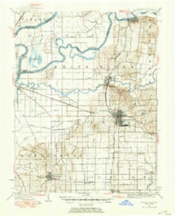
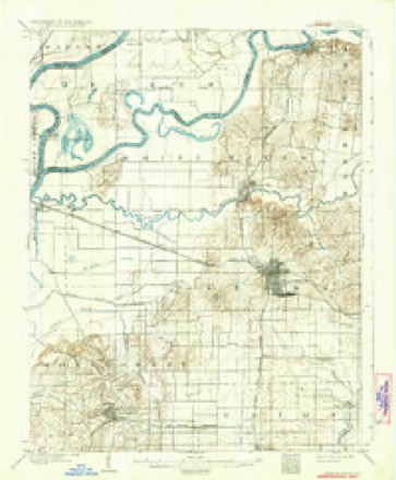
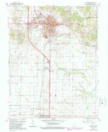
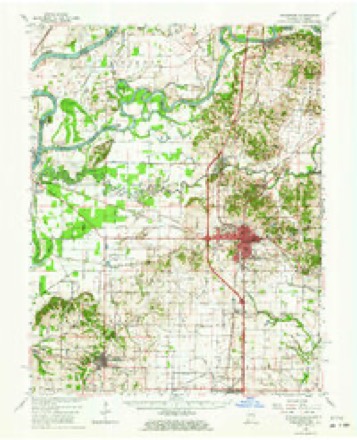
9 surveys from 24 printed sheetsMatched by testing this settlement's coordinate against the published boundary of every sheet in the United States Geological Survey's historical collection. Each opens the scanned sheet at the Survey.
- 1901 USGS Princeton quadrangle1:62500
- 1903 USGS Patoka quadrangle1:125000, 2 printings
- 1903 USGS Princeton quadrangle1:62500, 6 printings
- 1956 USGS Vincennes quadrangle1:250000, 4 printings
- 1957 USGS Vincennes quadrangle1:250000
- 1958 USGS Vincennes quadrangle1:250000, 2 printings
- 1959 USGS Princeton quadrangle1:24000, 4 printings
- 1959 USGS Princeton quadrangle1:62500, 2 printings
- 1986 USGS Princeton quadrangle1:100000, 2 printings





In the county-history sources
1,103 words on this townshipHistory of Gibson County, Indiana : Her People, Industries and Institutions, with Biographical Sketches of Representative Citizens and Genealogical Records of Many of the Old Families, published 1914 names this settlement in its chapter on Union Township. These are the passages that mention it, exactly as the scans read.
Its history from the pioneer settlement to the year 1890 has been treated and fully covered in the township history of Johnson township, hence will not here be gone over, at any length. Suffice to say that it contains about fifty-one sections, with the town of Fort Branch about in its geographical center. It is surrounded liy the townships of Johnson. Montgomery, I'atoka, Center and Barton.
Passage source: History of Gibson County, Indiana : Her People, Industries and Institutions, with Biographical Sketches of Representative Citizens and Genealogical Records of Many of the Old Families, published 1914.
The schools and churches in this portion of Gibson county have already been noted under separate chapter heads. The only town within the territory is Fort Branch, a place of more than ordinary early historic interest. This shows that the first settlement in this part of Gibson county was effected in what is now Union township, and its details have been narrated somewhat in the history of that townsbi]), which contained a portion of Union.
Passage source: History of Gibson County, Indiana : Her People, Industries and Institutions, with Biographical Sketches of Representative Citizens and Genealogical Records of Many of the Old Families, published 1914.
Fort Branch was built in 181 1 and was constructed within an enclosure or stockade, located across a small branch in order to obtain a water supply furnished by Pigeon creek, a little north of the present town, on an eminence, the highest point for miles around. The site of this old fort is now under cultivation.
Passage source: History of Gibson County, Indiana : Her People, Industries and Institutions, with Biographical Sketches of Representative Citizens and Genealogical Records of Many of the Old Families, published 1914.
Machine-read from a century-old scan, so expect the errors a machine makes: misspelled names, dropped words, stray characters.
Read the whole chapter on Union Township - it names this place 7 more 7 times.
Nearest settlements
The eight closest, with where each one stands in the county. Distances are straight-line, computed from the Geographic Names Information System coordinates.
| Map | Place | Distance | Sheets |
|---|---|---|---|
| Durham | 0.6 miles | 24 | |
| McGary | 2.7 miles | 23 | |
| Haubstadt | 3.2 miles | 17 | |
| King | 3.7 miles | 24 | |
| Fort Gibson (historical) | 4.3 miles | 24 | |
| Saint James | 5.1 miles | 17 | |
| Owensville | 5.8 miles | 23 | |
| Warrenton | 6.0 miles | 17 |
Elsewhere
Matched on this settlement's Geographic Names Information System number rather than its name, so it cannot be a different place of the same name in another state.
| Wikipedia article on Fort Branch | An encyclopaedic summary. Its text is share-alike, so it is linked here rather than copied. |
| Wikidata item Q2037517 | The structured record the population and elevation above come from. Public domain (CC0). |
Provenance
This settlement is recorded in the Geographic Names Information System as feature 434683. The sheet list is computed by point-in-boundary test against the United States Geological Survey's historical topographic inventory. Both are works of the United States government and carry no copyright under 17 U.S.C. 105.