 Block
McGary, Indiana
23 topographic sheets cover this place, the earliest surveyed in 1901 and the latest in 1986. It stands in Montgomery Township. It lies in ZIP code area 47648. The Survey maps it on the Owensville quadrangle.
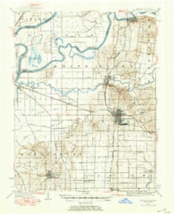
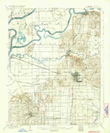
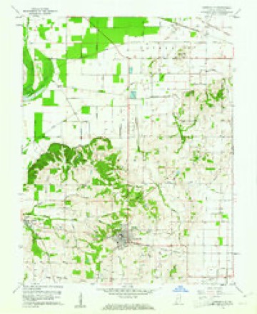
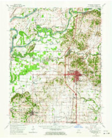
Topographic sheets covering this place
9 surveys from 23 printed sheetsMatched by testing this settlement's coordinate against the published boundary of every sheet in the United States Geological Survey's historical collection. Each opens the scanned sheet at the Survey.
- 1901 USGS Princeton quadrangle1:62500
- 1903 USGS Patoka quadrangle1:125000, 2 printings
- 1903 USGS Princeton quadrangle1:62500, 6 printings
- 1956 USGS Vincennes quadrangle1:250000, 4 printings
- 1957 USGS Vincennes quadrangle1:250000
- 1958 USGS Vincennes quadrangle1:250000, 2 printings
- 1959 USGS Owensville quadrangle1:24000, 3 printings
- 1959 USGS Princeton quadrangle1:62500, 2 printings
- 1986 USGS Princeton quadrangle1:100000, 2 printings





In the county-history sources
7,349 words on this townshipHistory of Gibson County Indiana, published 1884 names this settlement in its chapter on Montgomery Township. These are the passages that mention it, exactly as the scans read.
In 1806 Thomas Sharp, Luke and William Wilcy, settled a short distance south of Owensville. The Wileys afterward moved down into Posey County, and one of them was lost ina storm and froze to death. Thomas Sharp remained here until his death, which occurred about sixty years ago. John Sharp, aged family now living. Mathias and Smith Mounts came to this territory about the same time. Smith Mounts, located in Section 24, Tp. 3, R. 12, where he resided until He was with Gen. Wayne, in the Indian wars, and at Tippecanoe. He was a fine marksman, and spent much of his time in hunting, during the first years of his settlement here. Of his family of eleven children, Smith and Thomas A., both residents of this township, are the only ones living. Garrard Mounts was quite a prominent man in the county; was an officer of militia, and at ove time county commissioner: He died in 1882. None of Mathias' Mounts' children are living in the county.
Passage source: History of Gibson County Indiana, published 1884.
Robert McGary, grandfather of Hugh D. McGary, of McGary's Station, came to Indiana Territory and settled on Section 9, Township 3, Range 11, some time in the year 1809. He moved here with his family from Kentucky. He was of Scotch Irish ancestry. For several years he served as justice of the peace. He had a large family of children, most of them born in this township. Among them were Hugh, Harrison D., Daniel, William H. and Patsey, who became the wife of a Mr. Crow, connected with one of the old families of this county. The McGarys were among the more prominent of the early scttlers, and several of the sons of Robert McGary held different official positions, in both township and county during the early days.
Passage source: History of Gibson County Indiana, published 1884.
On the morning of June 29, 1876, the whole solid front of store buildings, on the east side of the square, except the northeast corner brick, were swept away by fire, with a loss of about $40,000. They were all frame buildings, except the one above mentioned. Several fine two-story brick structures now stand in their place.
Passage source: History of Gibson County Indiana, published 1884.
Machine-read from a century-old scan, so expect the errors a machine makes: misspelled names, dropped words, stray characters.
Read the whole chapter on Montgomery Township - it names this place 7 more 7 times.
Nearest settlements
The eight closest, with where each one stands in the county. Distances are straight-line, computed from the Geographic Names Information System coordinates.
| Map | Place | Distance | Sheets |
|---|---|---|---|
| Durham | 2.5 miles | 24 | |
| Fort Branch | 2.7 miles | 24 | |
| Owensville | 3.2 miles | 23 | |
| King | 3.9 miles | 24 | |
| Mounts | 4.7 miles | 17 | |
| Haubstadt | 5.0 miles | 17 | |
| Baldwin Heights | 6.1 miles | 24 | |
| Johnson | 6.3 miles | 23 |
Provenance
This settlement is recorded in the Geographic Names Information System as feature 452100. The sheet list is computed by point-in-boundary test against the United States Geological Survey's historical topographic inventory. Both are works of the United States government and carry no copyright under 17 U.S.C. 105.