 Block
Warrenton, Indiana
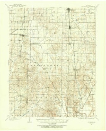
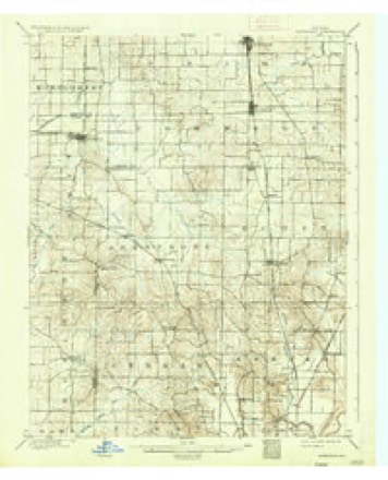
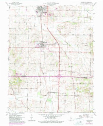
17 topographic sheets cover this place, the earliest surveyed in 1901 and the latest in 1986. It stands in Johnson Township. It lies in ZIP code area 47639. The Survey maps it on the Haubstadt quadrangle. It stands 482 feet above sea level.
Topographic sheets covering this place
8 surveys from 17 printed sheetsMatched by testing this settlement's coordinate against the published boundary of every sheet in the United States Geological Survey's historical collection. Each opens the scanned sheet at the Survey.
- 1901 USGS Haubstadt quadrangle1:62500
- 1903 USGS Haubstadt quadrangle1:62500, 2 printings
- 1903 USGS Patoka quadrangle1:125000, 2 printings
- 1956 USGS Vincennes quadrangle1:250000, 4 printings
- 1957 USGS Vincennes quadrangle1:250000
- 1958 USGS Vincennes quadrangle1:250000, 2 printings
- 1961 USGS Haubstadt quadrangle1:24000, 3 printings
- 1986 USGS Princeton quadrangle1:100000, 2 printings





In the county-history sources
9,092 words on this townshipHistory of Gibson County Indiana, published 1884 names this settlement in its chapter on Johnson Township. These are the passages that mention it, exactly as the scans read.
This road has by furnishing easy and accessible markets, contributed largely to the development of the material resources of this séction as well as to the building up of the thriving towns of Fort Branch and Haubstadt. St. James, also a station on the line of The village of Warrenton is located on Section 16, and is
Passage source: History of Gibson County Indiana, published 1884.
is located on Section 16, Township 3 south, Range 10. The original proprietors were John Withrow and Wright The village was platted in April, 1840, and now has a population of about one hundred and It is situated about two miles southeast of St. James, a station on the EK. & T. H. R. R. Haubstadt, | however, is its shipping point and postoffice. Warren- | and a substantial parochial school building, which is ton is about thirteen miles southeast of Princeton, the | ably presided over by Prof. N. J. Moster. The leading business of the place is carried on by John Ten Barge, general merchant and agricultural implement dealer. Paul Haller, one of the enterprising citizens, is a cigar was quite a thriving village, though even now considera- manufacturer. The number of his factory is 125. In the year 1881 Greely There is also another store and saloon, and blacksmith shop. A small store is kept by the station agent, who Warrenton was named in honor of Gen. | is also postmaster.
Passage source: History of Gibson County Indiana, published 1884.
Machine-read from a century-old scan, so expect the errors a machine makes: misspelled names, dropped words, stray characters.
Read the whole chapter on Johnson Township - it names this place 2 more 2 times.
Storms near this place
2 since 1999Regional context, not property-specific evidence. The National Weather Service names Warrenton in 2 storm reports between 1999 and 2000: 2 thunderstorm wind. No death or injury is recorded in these reports. Each account below is quoted exactly as the forecast office filed it, from the NOAA Storm Events Database, and each date opens the federal record of that event.
| When | Event | Place named | Harm | What the report says |
|---|---|---|---|---|
| November 2000 | Thunderstorm Wind | Warrenton | $2,000 | Road signs were blown down along Interstate 64. |
| June 1999 | Thunderstorm Wind | Warrenton | - | A trained storm spotter estimated a gust near 60 MPH. |
Nearest settlements
The eight closest, with where each one stands in the county. Distances are straight-line, computed from the Geographic Names Information System coordinates.
| Map | Place | Distance | Sheets |
|---|---|---|---|
| Saint James | 2.4 miles | 17 | |
| Haubstadt | 3.1 miles | 17 | |
| Fort Branch | 6.0 miles | 24 | |
| Durham | 6.5 miles | 24 | |
| Fort Gibson (historical) | 7.3 miles | 24 | |
| Buckskin | 7.5 miles | 20 | |
| McGary | 8.1 miles | 23 | |
| Mackey | 9.3 miles | 17 |
Elsewhere
Matched on this settlement's Geographic Names Information System number rather than its name, so it cannot be a different place of the same name in another state.
| Wikipedia article on Warrenton | An encyclopaedic summary. Its text is share-alike, so it is linked here rather than copied. |
| Wikidata item Q7970661 | The structured record the population and elevation above come from. Public domain (CC0). |
Provenance
This settlement is recorded in the Geographic Names Information System as feature 445485. The sheet list is computed by point-in-boundary test against the United States Geological Survey's historical topographic inventory. Both are works of the United States government and carry no copyright under 17 U.S.C. 105.
Storms. NOAA National Centers for Environmental Information, Storm Events Database https://www.ncei.noaa.gov/stormevents/ A work of the United States government, no copyright under 17 U.S.C. 105. Narratives are quoted verbatim from the National Weather Service report and are not edited or summarised.