 Block
Guy, Indiana
13 topographic sheets cover this place, the earliest surveyed in 1953 and the latest in 1986. It stands in Liberty Township. It lies in ZIP code area 46936. The Survey maps it on the Greentown quadrangle. It stands 850 feet above sea level.
Topographic sheets covering this place
4 surveys from 13 printed sheetsMatched by testing this settlement's coordinate against the published boundary of every sheet in the United States Geological Survey's historical collection. Each opens the scanned sheet at the Survey.
- 1953 USGS Muncie quadrangle1:250000, 5 printings
- 1956 USGS Muncie quadrangle1:250000
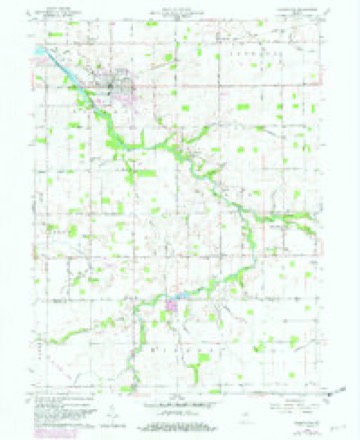
- 1960 USGS Greentown quadrangle1:24000, 4 printings
- 1986 USGS Muncie quadrangle1:100000, 3 printings



In the county-history sources
72,258 words on this townshipCounties of Howard and Tipton, Indiana. Historical and Biographical.., published 1883 names this settlement in its chapter on Liberty Township. These are the passages that mention it, exactly as the scans read.
Chickamauga, Missionary Ridge and Marietta ; he was also with Sherman during his victorious march to the sea. He was off duty only a few days, on account of measles. On his return home, he farmed for one year. He was married, November 6, 1867, to Miss Mary B. Cole, the second of six children born to Perry and Melvina (Butler) Cole, natives of Indiana, who located in Prairie Township in 1858, where they followed farming until his death, which occurred October 16, 1862. Mollie was born at the birthplace of her father February 28, 1848, and their union has been blessed by the birth of four children, viz., Alfred C, born September 15, 1868; Stella M., born November 6, 1869; Conie, born March 30, 1879, and Guy, born November 10, 1881. James M. purchased an interest in the Normanda Flouring Mills, and successfully followed milling for teh years; he then sold out, and bought 134 acres of fine land joining the north of Normanda, and since that time has continued farming. Mr. Campbell has energetic and industrious habits, is benevolent and active in all public enterprises ; he is a firm Republican ; his wife has been a Methodist since her girlhood.
Passage source: Counties of Howard and Tipton, Indiana. Historical and Biographical.., published 1883.
Machine-read from a century-old scan, so expect the errors a machine makes: misspelled names, dropped words, stray characters.
Mines and quarries near this place
1 within 5 milesRegional context, not property-specific evidence. The federal mineral resources record lists 1 working within 5 miles of Guy: 1 producer. All of them still produce. What was taken out: Sand and Gravel, Construction. Distance is straight-line from the map coordinates, so a quarry counted here may appear on a neighbouring settlement's page as well.
| Where | Site | Commodity | Status | Recorded |
|---|---|---|---|---|
| Windfall Sand and Gravel Pit | Sand and Gravel, Construction | Producer |
Storms near this place
1 since 2026Regional context, not property-specific evidence. The National Weather Service names Guy in 1 storm report in 2026: 1 thunderstorm wind. No death or injury is recorded in these reports. Each account below is quoted exactly as the forecast office filed it, from the NOAA Storm Events Database, and each date opens the federal record of that event.
| When | Event | Place named | Harm | What the report says |
|---|---|---|---|---|
| April 2026 | Thunderstorm Wind | Guy | - | Thunderstorm wind gusts up to 70 mph estimated by the public. |
Nearest settlements
The eight closest, with where each one stands in the county. Distances are straight-line, computed from the Geographic Names Information System coordinates.
Elsewhere
Matched on this settlement's Geographic Names Information System number rather than its name, so it cannot be a different place of the same name in another state.
| Wikipedia article on Guy | An encyclopaedic summary. Its text is share-alike, so it is linked here rather than copied. |
| Wikidata item Q5622020 | The structured record the population and elevation above come from. Public domain (CC0). |
Provenance
This settlement is recorded in the Geographic Names Information System as feature 435564. The sheet list is computed by point-in-boundary test against the United States Geological Survey's historical topographic inventory. Both are works of the United States government and carry no copyright under 17 U.S.C. 105.
Mines and quarries. USGS Mineral Resources Data System (MRDS) https://mrdata.usgs.gov/mrds/ A work of the United States government, no copyright under 17 U.S.C. 105.
Storms. NOAA National Centers for Environmental Information, Storm Events Database https://www.ncei.noaa.gov/stormevents/ A work of the United States government, no copyright under 17 U.S.C. 105. Narratives are quoted verbatim from the National Weather Service report and are not edited or summarised.