 Block
Hubbard, Indiana
11 topographic sheets cover this place, the earliest surveyed in 1953 and the latest in 1983. It stands in Olive Township. It lies in ZIP code area 46552. The Survey maps it on the Lydick quadrangle.
Topographic sheets covering this place
5 surveys from 11 printed sheetsMatched by testing this settlement's coordinate against the published boundary of every sheet in the United States Geological Survey's historical collection. Each opens the scanned sheet at the Survey.
- 1953 USGS Chicago quadrangle1:250000, 5 printings
- 1957 USGS Chicago quadrangle1:250000
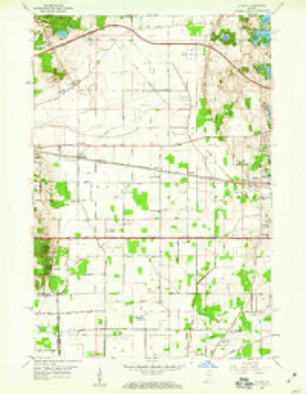
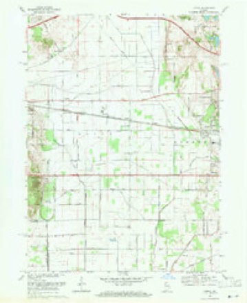
- 1958 USGS Lydick quadrangle1:24000
- 1969 USGS Lydick quadrangle1:24000, 2 printings
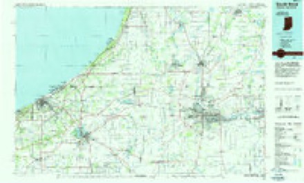
- 1983 USGS South Bend quadrangle1:100000, 2 printings


In the county-history sources
11,271 words on this townshipHistory of St. Joseph County, Indiana :, published 1880 names this settlement in its chapter on Olive Township. These are the passages that mention it, exactly as the scans read.
Among the prominent and wealthy citizens of this township are John Reynolds, said to be the richest man in St. Joseph county; James Reynolds, Henry H. Clark and H. B. Ranstead, who, with Mr. John Reynolds, are the largest land-holders in the township; J. H. Service and R. Hubbard, wealthy pioneers. The Messrs. Reynolds, Clark and Ranstead all together own 7,433 acres of land, a great deal of which is on the Terre Coupee Prairie. This, as before shown, is very valuable.
Passage source: History of St. Joseph County, Indiana :, published 1880.
Machine-read from a century-old scan, so expect the errors a machine makes: misspelled names, dropped words, stray characters.
Nearest settlements
The eight closest, with where each one stands in the county. Distances are straight-line, computed from the Geographic Names Information System coordinates.
| Map | Place | Distance | Sheets |
|---|---|---|---|
| Zeigler | 0.8 miles | 11 | |
| Olive | 1.6 miles | 11 | |
| Lydick | 2.1 miles | 11 | |
| Chain-O-Lakes | 2.2 miles | 11 | |
| Westfield | 2.5 miles | 11 | |
| Terre Coupee | 3.1 miles | 11 | |
| Hamilton | 4.0 miles | 11 | |
| New Carlisle | 4.8 miles | 10 |
Provenance
This settlement is recorded in the Geographic Names Information System as feature 452634. The sheet list is computed by point-in-boundary test against the United States Geological Survey's historical topographic inventory. Both are works of the United States government and carry no copyright under 17 U.S.C. 105.