 Block
Terre Coupee, Indiana
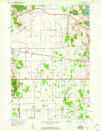
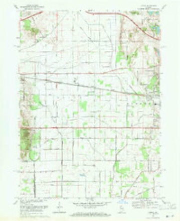
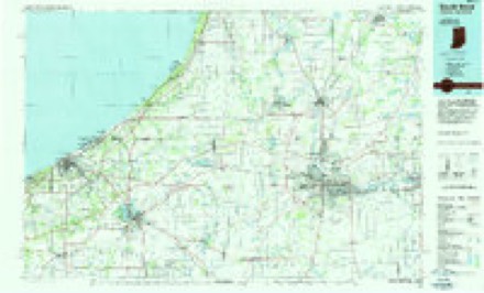
11 topographic sheets cover this place, the earliest surveyed in 1953 and the latest in 1983. It stands in Olive Township. It lies in ZIP code area 46552. The Survey maps it on the Lydick quadrangle. It stands 748 feet above sea level.
Topographic sheets covering this place
5 surveys from 11 printed sheetsMatched by testing this settlement's coordinate against the published boundary of every sheet in the United States Geological Survey's historical collection. Each opens the scanned sheet at the Survey.
- 1953 USGS Chicago quadrangle1:250000, 5 printings
- 1957 USGS Chicago quadrangle1:250000
- 1958 USGS Lydick quadrangle1:24000
- 1969 USGS Lydick quadrangle1:24000, 2 printings
- 1983 USGS South Bend quadrangle1:100000, 2 printings


In the county-history sources
11,271 words on this townshipHistory of St. Joseph County, Indiana :, published 1880 names this settlement in its chapter on Olive Township. These are the passages that mention it, exactly as the scans read.
By the year 1836, about all the Government land was taken up. The land oflice was at Crawfordsville, and there were residents enough to justify the holding of public religious services. The first church was built at Hamilton in 1838, by the Methodists, who still hold meetings in it. At that time Hamilton was the great business center for this part of St. Joseph count}'. Since the railroad has been built through the county and made a station at New Carlisle, Hamilton has run down. This place is frequently called Terre Coupee, from a postoflice of that name near there. There are also at Hamilton a neat school-house, a grocery and several residences. This village is situated near the center of section 2-4, in Terre Coupee Prairie. This prairie was very marshy before it was drained and cultivated; it is now one of the most fertile spots in the State of Indiana. It is over four miles in diameter and contains 3,000 or 4,000 acres, which is worth $80 to $120 an acre. It is almost as level as a barn floor, and just sandy enough for agricultural purposes.
Passage source: History of St. Joseph County, Indiana :, published 1880.
Among the prominent and wealthy citizens of this township are John Reynolds, said to be the richest man in St. Joseph county; James Reynolds, Henry H. Clark and H. B. Ranstead, who, with Mr. John Reynolds, are the largest land-holders in the township; J. H. Service and R. Hubbard, wealthy pioneers. The Messrs. Reynolds, Clark and Ranstead all together own 7,433 acres of land, a great deal of which is on the Terre Coupee Prairie. This, as before shown, is very valuable.
Passage source: History of St. Joseph County, Indiana :, published 1880.
Methodist Episcopal. - James Armstrong was the Evangelist of Methodism in this county, influencing many persons to move from older parts of the State. He remained here as an enterprising missionary till his death, in the fall of lS3-t. The first Methodist society in St. Joseph county was organized at the house of Paul Egbert, on Terre Coupee Prairie. It consisted of eight individuals, and John Egbert wasappointed class-leader. According to ti'adition among this people, the class was formed by Rev. E. Felton, of the Ohio Conference, in 1830. This class was supplied with pastors somewhat irregularly until 1834, when the work was thoroughly
Passage source: History of St. Joseph County, Indiana :, published 1880.
Machine-read from a century-old scan, so expect the errors a machine makes: misspelled names, dropped words, stray characters.
Read the whole chapter on Olive Township - it names this place 7 more 7 times.
Nearest settlements
The eight closest, with where each one stands in the county. Distances are straight-line, computed from the Geographic Names Information System coordinates.
| Map | Place | Distance | Sheets |
|---|---|---|---|
| Olive | 1.6 miles | 11 | |
| New Carlisle | 1.7 miles | 10 | |
| Hamilton | 2.1 miles | 11 | |
| Zeigler | 2.3 miles | 11 | |
| Hubbard | 3.1 miles | 11 | |
| Chain-O-Lakes | 5.2 miles | 11 | |
| Lydick | 5.2 miles | 11 | |
| Westfield | 5.5 miles | 11 |
Elsewhere
Matched on this settlement's Geographic Names Information System number rather than its name, so it cannot be a different place of the same name in another state.
| Wikipedia article on Terre Coupee | An encyclopaedic summary. Its text is share-alike, so it is linked here rather than copied. |
| Wikidata item Q7703336 | The structured record the population and elevation above come from. Public domain (CC0). |
Provenance
This settlement is recorded in the Geographic Names Information System as feature 452819. The sheet list is computed by point-in-boundary test against the United States Geological Survey's historical topographic inventory. Both are works of the United States government and carry no copyright under 17 U.S.C. 105.