 Block
Hudson, Indiana
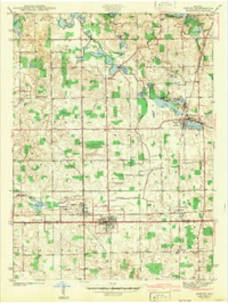
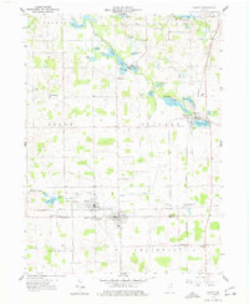
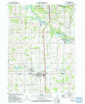
14 topographic sheets cover this place, the earliest surveyed in 1942 and the latest in 1993. It stands in Salem Township. It lies in ZIP code area 46747. The Survey maps it on the Ashley quadrangle. 585 people lived here at the 2020 count. It stands 991 feet above sea level.
Population over time
2 figuresHudson grew from 518 to 585 between 2010 and 2020. These are the recorded population figures Wikidata holds for this place, reached through the Geographic Names Information System number this page is keyed on rather than by name, so they belong to this place and not to another of the same name. Most are census counts, but not all are: an early figure may be a founding or settlement estimate, and an estimate published within five years of a census is left out. The change column is computed, and is left blank where more than 20 years separate a figure from the one before it, because a gap that long is not a change between two counts.
| Year | People | Change |
|---|---|---|
| 2010 | 518 | |
| 2020 | 585 | +67 (+13%) |
Topographic sheets covering this place
6 surveys from 14 printed sheetsMatched by testing this settlement's coordinate against the published boundary of every sheet in the United States Geological Survey's historical collection. Each opens the scanned sheet at the Survey.
- 1942 USGS Ashley quadrangle1:24000, 2 printings
- 1953 USGS Fort Wayne quadrangle1:250000, 4 printings
- 1956 USGS Fort Wayne quadrangle1:250000, 2 printings
- 1959 USGS Ashley quadrangle1:24000, 3 printings
- 1985 USGS Elkhart quadrangle1:100000, 2 printings
- 1993 USGS Ashley quadrangle1:24000


In the county-history sources
18,467 words on this townshipHistory of Steuben County, Indiana, Together with... Biographies of Representative Citizens, published 1885 names this settlement in its chapter on Salem Township. These are the passages that mention it, exactly as the scans read.
Salem Township now contains many highly cultivated farms, which indicate the tirelpss energy of the early settlers, who cleared away the mighty forests, and they and their descendants have made the waste places "bud and blossom as the rose." There are three postoffices in the township - Hudson, Salem Center and Turkey Creek. The first named is in the southeast corner, on the line between Salem and Steuben townships. Salem Center is a mile north of the center of the township, while Turkey Creek is situated on the creek of the same name in the southwestern part of the township.
Passage source: History of Steuben County, Indiana, Together with... Biographies of Representative Citizens, published 1885.
Huds )n was first platted in August, 1869, by Elizabeth Clark and others. Ferguson, FuUerton and Rapp made additions to the original plat. These were all on secti on 31, township 36, range 13. Leauder Brugh and Joseph Zongkers have each made additions on section 36, township 36, range 12. Hudson was intended for a large town, being situated on the line of the prospective Canada
Passage source: History of Steuben County, Indiana, Together with... Biographies of Representative Citizens, published 1885.
In ISSSJosephandJolin Miller erected the saw-mill, now (1885) owned by John Ritter. This mill was not on the village plat, but just south of Brugh's addition. In about 1865 a small store was opened near the mill, by Michael Miller; Miller sold out to Ira AUerton, who increased the stock of goods, and in 1867 sold to Keller & Son. These were the tirst bushiess enterprises of what is n..w known as Hudson. In 1867 Mrs. Elizabeth Clark caused to be laid out nine half-acre lots on the southwest quarter of section 31, in Steuben Township. These lots were platted and placed on record and called the village of North Benton, which is still the proper name for the town, though it is generally known as Hudson, the name of the postoffice.
Passage source: History of Steuben County, Indiana, Together with... Biographies of Representative Citizens, published 1885.
Machine-read from a century-old scan, so expect the errors a machine makes: misspelled names, dropped words, stray characters.
Read the whole chapter on Salem Township - it names this place 16 more 16 times.
Fires near this place
6 since 2003Regional context, not property-specific evidence. The federal wildfire occurrence database lists 6 fires within 5 miles of Hudson between 2003 and 2005, burning about 11 acres in total. None started naturally. 1 was recorded as arson. Distance is straight-line from the map coordinates, so a fire counted here may appear on a neighbouring settlement's page as well.
| Reported cause | Fires |
|---|---|
| Debris and open burning | 2 |
| Recreation and ceremony | 2 |
| Equipment and vehicle use | 1 |
| Arson/incendiarism | 1 |
The most recent of them, most recent first, with the day each was reported and the service that recorded it.
| Date | Cause | Size | Reported by | Name on the report |
|---|---|---|---|---|
| 18 September 2004 | Arson/incendiarism | under an acre | Indiana State Fire Marshal's Office | not named |
| 1 June 2003 | Debris and open burning | under an acre | Indiana State Fire Marshal's Office | not named |
| 4 April 2005 | Recreation and ceremony | 3.0 acres | Indiana State Fire Marshal's Office | not named |
| 18 April 2004 | Debris and open burning | 5.0 acres | Indiana State Fire Marshal's Office | not named |
| 15 April 2004 | Equipment and vehicle use | under an acre | Indiana State Fire Marshal's Office | not named |
| 13 April 2003 | Recreation and ceremony | 2.0 acres | Indiana State Fire Marshal's Office | not named |
Settlements close enough to share some of these fires:
Storms near this place
8 since 2011Regional context, not property-specific evidence. The National Weather Service names Hudson in 8 storm reports between 2011 and 2025: 4 hail, 3 thunderstorm wind, 1 tornado. No death or injury is recorded in these reports. Each account below is quoted exactly as the forecast office filed it, from the NOAA Storm Events Database, and each date opens the federal record of that event.
| When | Event | Place named | Harm | What the report says |
|---|---|---|---|---|
| March 2025 | Tornado (EF1) | Hudson | $100,000 | An NWS damage survey confirmed a brief QLCS tornado embedded within a broad swath of damaging straight line winds in southwestern Steuben County, Indiana, on March 30th, 2025. The tornado likely originated in a field just north of Little Turkey Lake around 5:28 PM, before racing to the northeast. Several trees outbuildings were damaged to the northeast of Little Turkey Lake, most notably including a collapsed metal barn. Despite very limited ground evidence due to primarily open fields to the northeast, the tornado likely continued in a non continuous path over the next several minutes. A 50 to 100 yard swath of trees were snapped or uprooted on the southwest side of Long Lake, just west of W 500 S. The tornado then crossed Long Lake, before uprooting and snapping several trees and damaging homes along W Long Lake Road. No injuries were reported. Notable tree damage was observed in the boy scout camp just to the north. Aerial drone footage confirmed a convergent pattern to the downed trees, thus indicating the presence of a tornadic circulation along the damage path. Damage was consistent with a high end EF-0 to low end EF-1 tornado with maximum winds near 90 MPH. The tornado is believed to have ended shortly after, around 5:35 PM. In addition to the tornado, numerous trees and power lines were damaged due to straight line winds in excess of 75 MPH, along with some homes suffering roof and siding damage. |
| May 2024 | Hail | Hudson | $30,000 | no account filed |
| May 2024 | Hail | Hudson | $1,000 | no account filed |
| June 2013 | Thunderstorm Wind | Hudson | - | Emergency management officials reported a two foot diameter tree was blown down. |
| June 2013 | Thunderstorm Wind | Hudson | - | Emergency management officials reported a two foot diameter tree was blown down. |
| July 2011 | Thunderstorm Wind | Hudson | - | A local newspaper reported a concrete stave silo was blown down, all in one piece. The Silo did not land on any objects on the farm. |
| February 2017 | Hail | Hudson | - | no account filed |
| August 2011 | Hail | Hudson | - | no account filed |
Nearest settlements
The eight closest, with where each one stands in the county. Distances are straight-line, computed from the Geographic Names Information System coordinates.
| Map | Place | Distance | Sheets |
|---|---|---|---|
| Steubenville | 3.1 miles | 14 | |
| Moonlight | 4.4 miles | 14 | |
| Pleasant Lake | 4.5 miles | 14 | |
| Helmer | 4.7 miles | 13 | |
| Salem Center | 4.8 miles | 13 | |
| Turkey Creek | 5.0 miles | 13 | |
| Holiday Woods | 6.2 miles | 14 | |
| Westview | 6.5 miles | 13 |
Elsewhere
Matched on this settlement's Geographic Names Information System number rather than its name, so it cannot be a different place of the same name in another state.
| Wikipedia article on Hudson | An encyclopaedic summary. Its text is share-alike, so it is linked here rather than copied. |
| Wikidata item Q2710584 | The structured record the population and elevation above come from. Public domain (CC0). |
Provenance
This settlement is recorded in the Geographic Names Information System as feature 436570. The sheet list is computed by point-in-boundary test against the United States Geological Survey's historical topographic inventory. Both are works of the United States government and carry no copyright under 17 U.S.C. 105.
Wildfire. Short, Karen C. 2022. Spatial wildfire occurrence data for the United States, 1992-2020 [FPA_FOD_20221014]. 6th Edition. Fort Collins, CO: Forest Service Research Data Archive. https://doi.org/10.2737/RDS-2013-0009.6 Collected with United States Government funding and usable without additional permissions or fees.
Storms. NOAA National Centers for Environmental Information, Storm Events Database https://www.ncei.noaa.gov/stormevents/ A work of the United States government, no copyright under 17 U.S.C. 105. Narratives are quoted verbatim from the National Weather Service report and are not edited or summarised.