 Block
Turkey Creek, Indiana
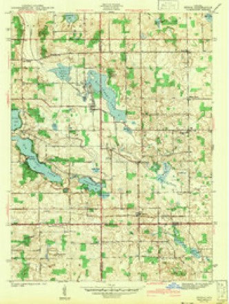
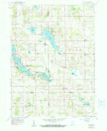
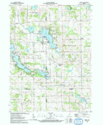
13 topographic sheets cover this place, the earliest surveyed in 1942 and the latest in 1993. It stands in Salem Township. It lies in ZIP code area 46747. It stands on Mud Creek. The Survey maps it on the Stroh quadrangle.
Topographic sheets covering this place
6 surveys from 13 printed sheetsMatched by testing this settlement's coordinate against the published boundary of every sheet in the United States Geological Survey's historical collection. Each opens the scanned sheet at the Survey.
- 1942 USGS Stroh quadrangle1:24000, 2 printings
- 1953 USGS Fort Wayne quadrangle1:250000, 4 printings
- 1956 USGS Fort Wayne quadrangle1:250000, 2 printings
- 1959 USGS Stroh quadrangle1:24000, 2 printings
- 1985 USGS Elkhart quadrangle1:100000, 2 printings
- 1993 USGS Stroh quadrangle1:24000


In the county-history sources
18,467 words on this townshipHistory of Steuben County, Indiana, Together with... Biographies of Representative Citizens, published 1885 names this settlement in its chapter on Salem Township. These are the passages that mention it, exactly as the scans read.
Salem Township now contains many highly cultivated farms, which indicate the tirelpss energy of the early settlers, who cleared away the mighty forests, and they and their descendants have made the waste places "bud and blossom as the rose." There are three postoffices in the township - Hudson, Salem Center and Turkey Creek. The first named is in the southeast corner, on the line between Salem and Steuben townships. Salem Center is a mile north of the center of the township, while Turkey Creek is situated on the creek of the same name in the southwestern part of the township.
Passage source: History of Steuben County, Indiana, Together with... Biographies of Representative Citizens, published 1885.
Turkey Creek was platted by Porter Johnson, in March, 1857, on section 29. It has never attained much importance as a village, but its convenient country store has saved the people of the surrounding country many miles of travel in obtaining necessary supplies.
Passage source: History of Steuben County, Indiana, Together with... Biographies of Representative Citizens, published 1885.
Machine-read from a century-old scan, so expect the errors a machine makes: misspelled names, dropped words, stray characters.
Nearest settlements
The eight closest, with where each one stands in the county. Distances are straight-line, computed from the Geographic Names Information System coordinates.
| Map | Place | Distance | Sheets |
|---|---|---|---|
| Helmer | 1.7 miles | 13 | |
| Meadow Shores Park | 2.2 miles | 13 | |
| Westview | 2.2 miles | 13 | |
| Salem Center | 2.6 miles | 13 | |
| Wildwood | 2.9 miles | 13 | |
| Indian Hills | 4.6 miles | 13 | |
| Hudson | 5.0 miles | 14 | |
| Otter Lake | 5.8 miles | 15 |
Provenance
This settlement is recorded in the Geographic Names Information System as feature 444959. The sheet list is computed by point-in-boundary test against the United States Geological Survey's historical topographic inventory. Both are works of the United States government and carry no copyright under 17 U.S.C. 105.